MyTopo
Ukiah California US Topo Map
Couldn't load pickup availability
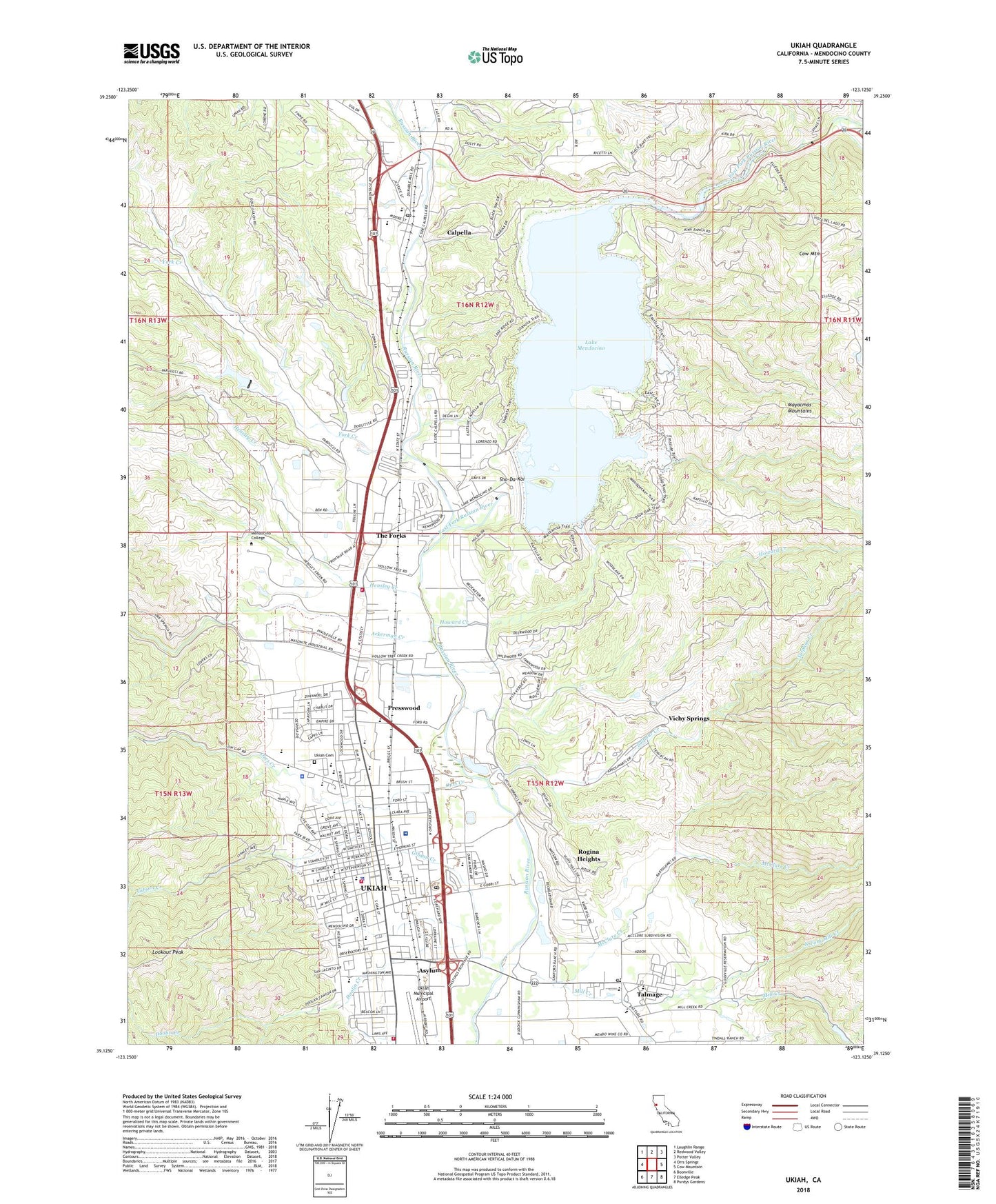
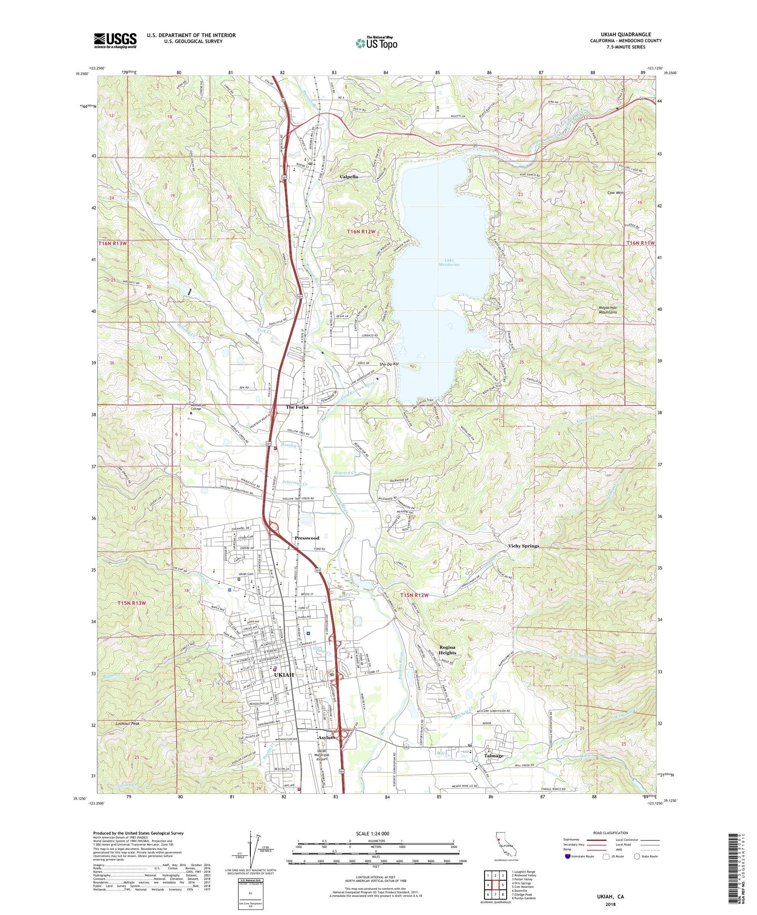
2022 topographic map quadrangle Ukiah in the state of California. Scale: 1:24000. Based on the newly updated USGS 7.5' US Topo map series, this map is in the following counties: Mendocino. The map contains contour data, water features, and other items you are used to seeing on USGS maps, but also has updated roads and other features. This is the next generation of topographic maps. Printed on high-quality waterproof paper with UV fade-resistant inks.
Quads adjacent to this one:
West: Orrs Springs
Northwest: Laughlin Range
North: Redwood Valley
Northeast: Potter Valley
East: Cow Mountain
Southeast: Purdys Gardens
South: Elledge Peak
Southwest: Boonville
This map covers the same area as the classic USGS quad with code o39123b2.
Contains the following named places: Accelerated Achievement Academy, Ackerman Creek, Albertinum Convent, Anton Stadium, Asylum, Bu-Shay Campground, California Department of Forestry and Fire Protection Ukiah, California Highway Patrol Ukiah, California Shock Trauma Air Rescue Station 4, Calpella, Calpella Census Designated Place, Calpella Elementary School, Calpella Post Office, Caravan Mobile Home Park, Chekaka Campground, Church of Saint Mary of the Angels, City of Ukiah, Cold Creek, Coyote Dam, Coyote Valley Rancheria, Developing Virtue Secondary School, Doolin Creek, East Fork Russian River, Evangelical Free Church, First Baptist Church, First Christian Church, First Church of Christ Scientist, First Presbyterian Church of Ukiah, Forsythe Creek, Frank Zeek Elementary School, Gibson Creek, Grace Hudson Museum, Guidiville Rancheria, Held-Poage Memorial Home and Research Library, Hensley Creek, Hillside Community Hospital, Holy Trinity Episcopal Church, Howard Creek, Hudson-Carpenter Park, Joe Riley Picnic Area, KUKI-AM (Ukiah), Kyen Campground, Lake Mendocino, Lake Mendocino Recreation Area, Lookout Peak, Low Gap Regional Park, McClure Creek, McGarvey Park, McNear School, Mendocino College, Mendocino County Community School, Mendocino County Courthouse, Mendocino County Hospital, Mendocino County Juvenile Hall, Mendocino County Law Library, Mendocino County Library, Mendocino County Regional Occupation Program Center, Mendocino County Sheriff's Office Ukiah, Mendocino Middle 1089-000 Dam, Mendocino State Hospital, Mendocino Upper 1089-002 Dam, Mesa Picnic Area, Mill Creek, Mitchell Ranch, Miti Camp, New Morning Montessori School, Nokomis Elementary School, Nokomis Park, North Fork Mill Creek, North Haven School, Oak Grove Picnic Area, Oak Manor Elementary School, Oak Manor Park, Orrs Creek, Pinoleville Rancheria, Pomo Picnic Area, Pomo Visitors Center, Pomolita Elementary School, Pomolita Middle School, Presswood, Redwood Academy of Ukiah, River Oak Charter School, River Union School, Rogina Heights, Round Mountain 1382 Dam, Russian River Reservoir, Saint Mary of the Angels School, Sho-Da-Kai, South Valley High School, Sulphur Creek, Talmage, Talmage Census Designated Place, Talmage Post Office, The Church of Jesus Christ of Latter Day Saints, The Forks, Todd Grove Park, Tree of Life Charter School, Twelfth District Fairgrounds, Ukiah, Ukiah Adult School, Ukiah Ambulance Service, Ukiah Assembly of God Church, Ukiah Cemetery, Ukiah City Hall, Ukiah Division, Ukiah Fire Department, Ukiah General Hospital, Ukiah High School, Ukiah Municipal Airport, Ukiah Municipal Gas Works, Ukiah Municipal Golf Course, Ukiah Police Department, Ukiah Post Office, Ukiah Union High School, Ukiah United Methodist Church, Ukiah Valley Fire District Station 1, Ukiah Valley Fire District Station 2, Ukiah Valley Medical Center, Veterans Memorial Building, Vichy Springs, Vichy Springs Post Office, Vinewood Park, Waldorf School of Mendocino County, Yokaya, Yokayo Elementary School, Yokayo Ranch, York Creek


