MyTopo
Rosewood California US Topo Map
Couldn't load pickup availability
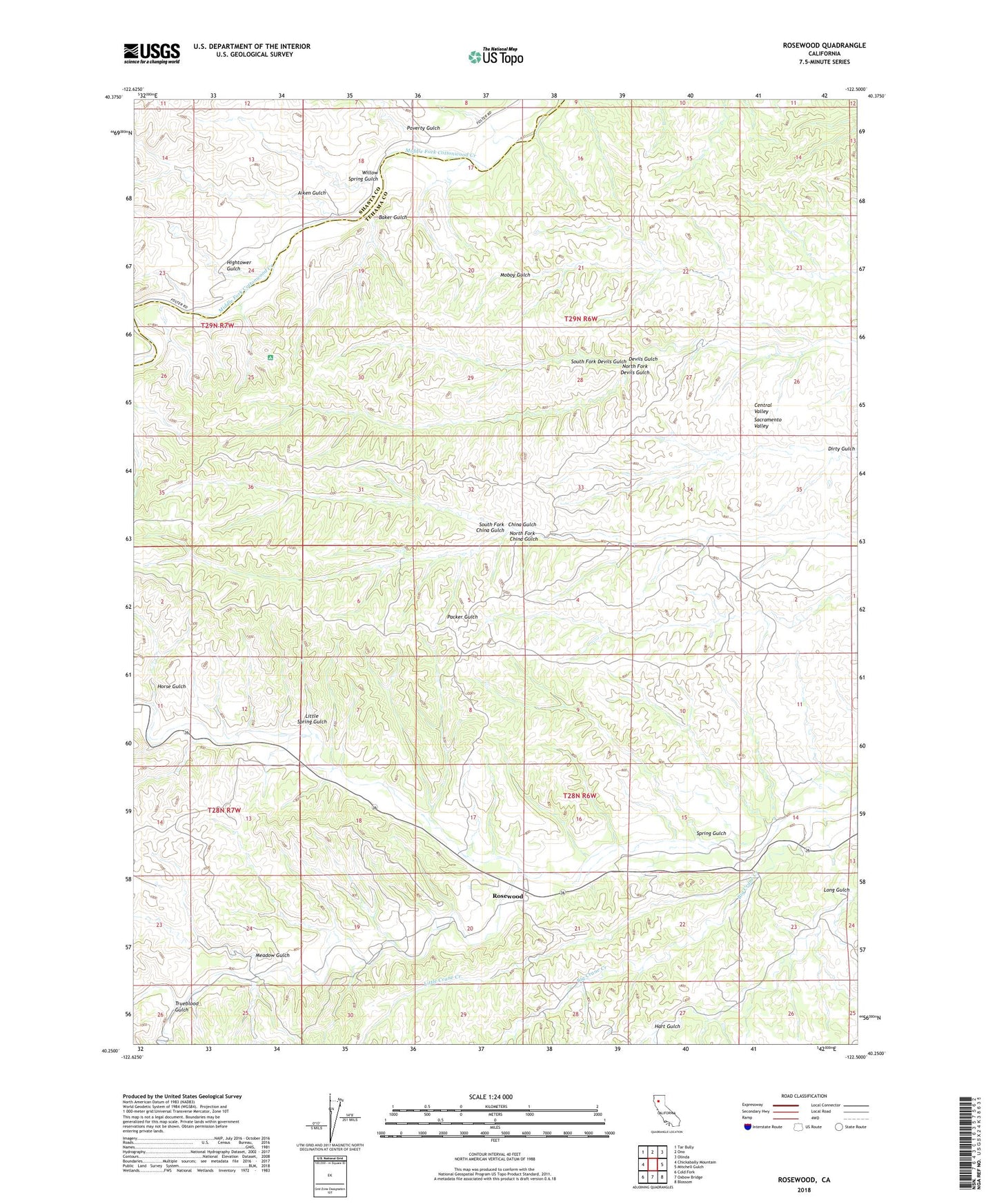
2021 topographic map quadrangle Rosewood in the state of California. Scale: 1:24000. Based on the newly updated USGS 7.5' US Topo map series, this map is in the following counties: Tehama, Shasta. The map contains contour data, water features, and other items you are used to seeing on USGS maps, but also has updated roads and other features. This is the next generation of topographic maps. Printed on high-quality waterproof paper with UV fade-resistant inks.
Quads adjacent to this one:
West: Chickabally Mountain
Northwest: Tar Bully
North: Ono
Northeast: Olinda
East: Mitchell Gulch
Southeast: Blossom
South: Oxbow Bridge
Southwest: Cold Fork
Contains the following named places: Aiken Gulch, Baker Gulch, Big Crane Creek, Hart Gulch, Hightower Gulch, Horse Gulch, Little Crane Creek, Little Spring Gulch, Meadow Gulch, North Fork China Gulch, North Fork Devils Gulch, Poverty Gulch, Rosewood, Rosewood Cemetery, Salt Creek, South Fork China Gulch, South Fork Devils Gulch, Spring Gulch, Trueblood Gulch, Willow Spring Gulch