MyTopo
El Cajon Mountain California US Topo Map
Couldn't load pickup availability
Also explore the El Cajon Mountain Forest Service Topo of this same quad for updated USFS data
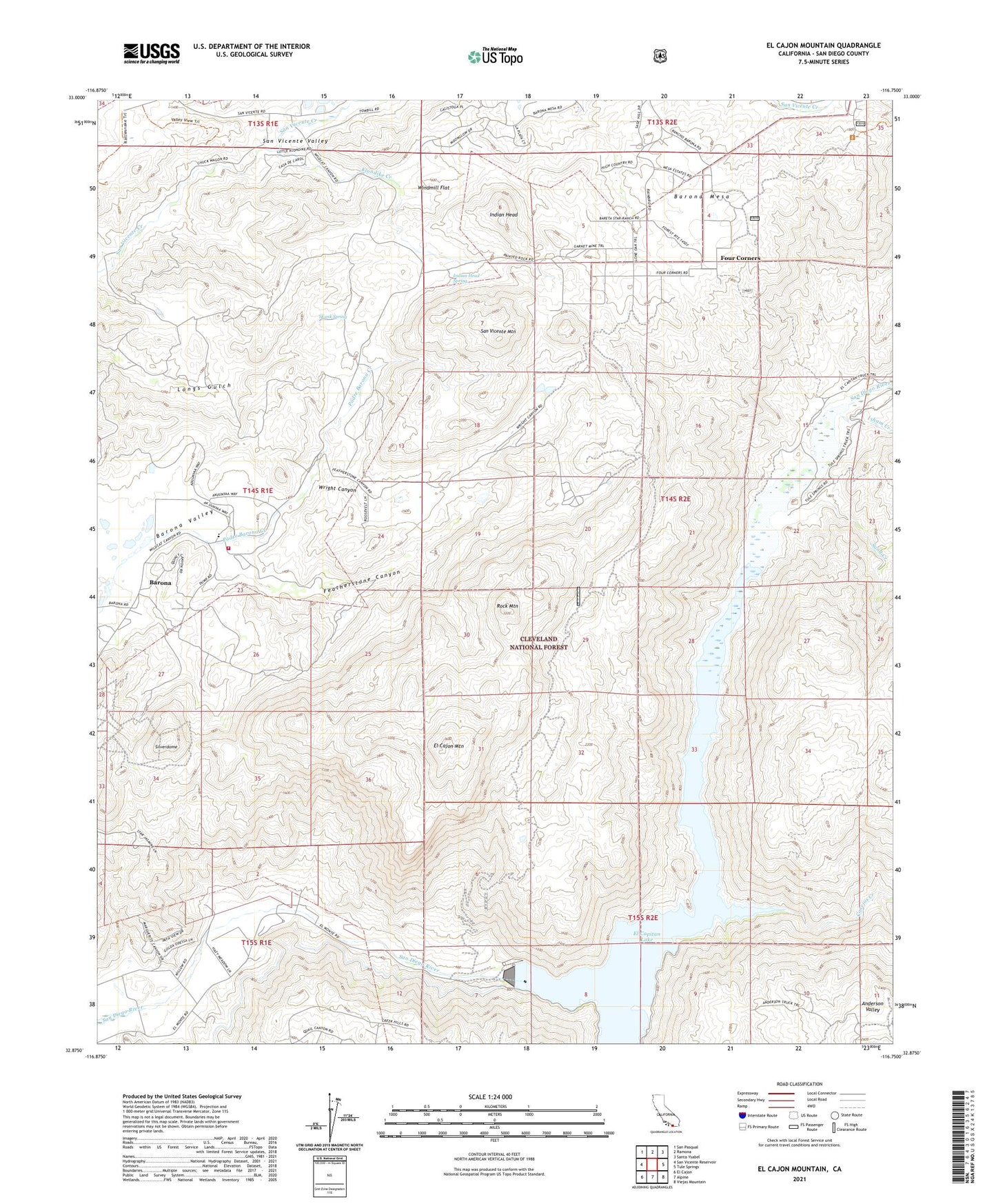
2021 topographic map quadrangle El Cajon Mountain in the state of California. Scale: 1:24000. Based on the newly updated USGS 7.5' US Topo map series, this map is in the following counties: San Diego. The map contains contour data, water features, and other items you are used to seeing on USGS maps, but also has updated roads and other features. This is the next generation of topographic maps. Printed on high-quality waterproof paper with UV fade-resistant inks.
Quads adjacent to this one:
West: San Vicente Reservoir
Northwest: San Pasqual
North: Ramona
Northeast: Santa Ysabel
East: Tule Springs
Southeast: Viejas Mountain
South: Alpine
Southwest: El Cajon
This map covers the same area as the classic USGS quad with code o32116h7.
Contains the following named places: Anderson Valley, Barona, Barona Fire Protection District Station 27, Barona Indian Reservation, Barona Mesa, Barona Reservation, Barona Tribal Enforcement, Canada De San Vicente Y Mesa Del Padre Barona, Cape Horn Tunnel, Capitan Grande Reservation, Chocolate Creek, Conejos Creek, Daly Creek, Daly Mine, El Cajon Mountain, El Cajon Mountain Truck Trail, El Capitan, El Capitan 8-007 Dam, El Capitan Dam, El Capitan Lake, El Capitan Truck Trail, El Monte County Park Picnic Site, El Monte Park, Featherstone Canyon, Featherstone Ranch, Four Corners, Gower Truck Trail, Grable Ranch, Indian Head, Indian Head Spring, Isham Creek, Klondike Creek, Lakeside County Park, Mykrantz Ranch, Mykrantz Truck Trail, Poole Ranch, Rock Mountain, San Vicente Mountain, San Vicente Valley, Sand Creek, Silverdome, Skunk Spring, Windmill Flat, Wright Canyon