MyTopo
Sims Mountain California US Topo Map
Couldn't load pickup availability
Also explore the Sims Mountain Forest Service Topo of this same quad for updated USFS data
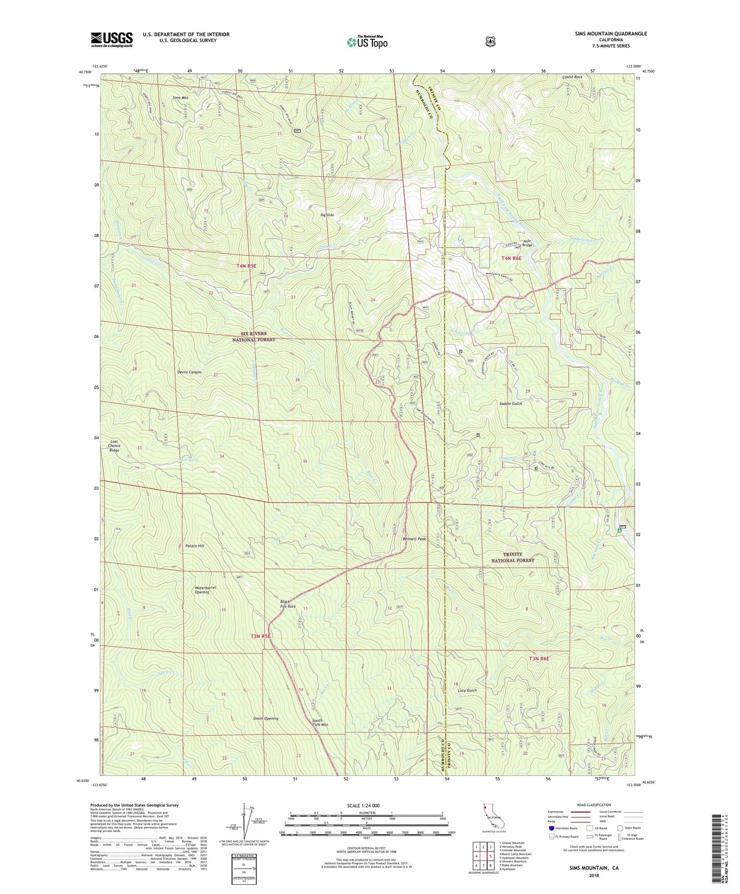
2022 topographic map quadrangle Sims Mountain in the state of California. Scale: 1:24000. Based on the newly updated USGS 7.5' US Topo map series, this map is in the following counties: Humboldt, Trinity. The map contains contour data, water features, and other items you are used to seeing on USGS maps, but also has updated roads and other features. This is the next generation of topographic maps. Printed on high-quality waterproof paper with UV fade-resistant inks.
Quads adjacent to this one:
West: Board Camp Mountain
Northwest: Grouse Mountain
North: Hennessy Peak
Northeast: Ironside Mountain
East: Hyampom Mountain
Southeast: Hyampom
South: Blake Mountain
Southwest: Showers Mountain
This map covers the same area as the classic USGS quad with code o40123f5.
Contains the following named places: Bear Creek, Bennett Peak, Big Creek, Big Slide, Big Slide Creek, Black Fox Rock, Breckeen Creek, Buckeye Creek, Canyon Creek, Castle Rock, Dan East Cabin, Dan East Creek, Dan East Trail, Devils Canyon, Grapevine Creek, Grouse Creek, Hog Ranch, Lake Mountain, Lake Mountain Ranch, Last Chance Creek, Last Chance Ridge, Last Chance Trail, Lucy Gulch, Manzanita Ranch, Monroe Creek, Mosquito Creek, Mule Bridge, Mule Spring, Panther Creek, Potato Hill, Saddle Gulch, Sims Creek, Sims Mountain, Slide Creek Campground, Smith Opening, Trappers Creek, Twin Lakes Creek, Underwood Creek, Waterbarrel Opening, Wise Station