MyTopo
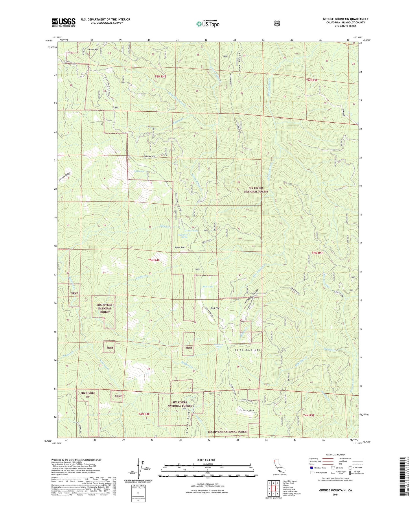
Grouse Mountain California US Topo Map
Couldn't load pickup availability
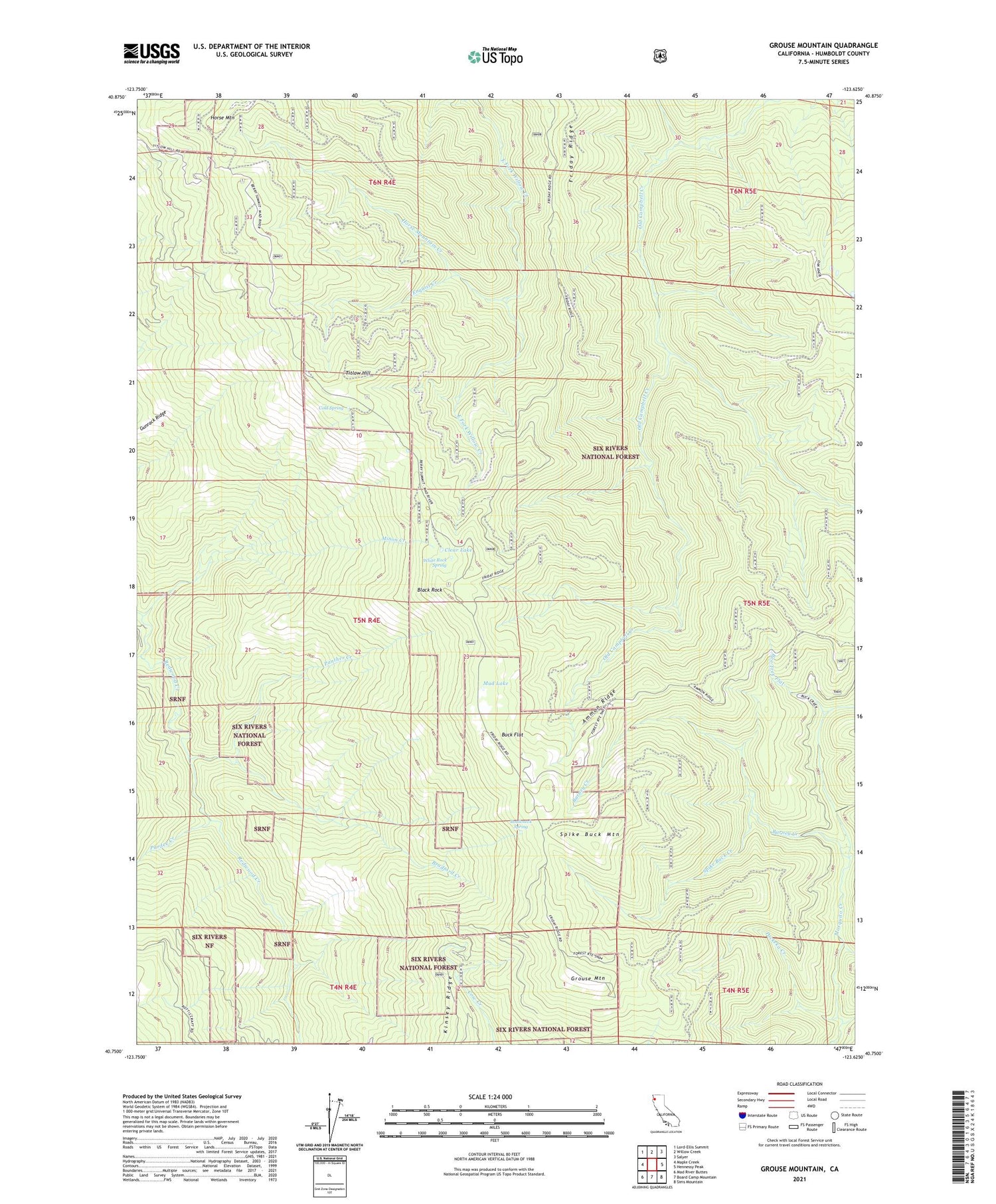
Also explore the Grouse Mountain Forest Service Topo of this same quad for updated USFS data
2021 topographic map quadrangle Grouse Mountain in the state of California. Scale: 1:24000. Based on the newly updated USGS 7.5' US Topo map series, this map is in the following counties: Humboldt. The map contains contour data, water features, and other items you are used to seeing on USGS maps, but also has updated roads and other features. This is the next generation of topographic maps. Printed on high-quality waterproof paper with UV fade-resistant inks.
Quads adjacent to this one:
West: Maple Creek
Northwest: Lord-Ellis Summit
North: Willow Creek
Northeast: Salyer
East: Hennessy Peak
Southeast: Sims Mountain
South: Board Camp Mountain
Southwest: Mad River Buttes
This map covers the same area as the classic USGS quad with code o40123g6.
Contains the following named places: Ammon Ridge, Ammon Station, Barney Creek, Bartlett Ranch, Black Rock, Bottleneck Spring, Bradford Creek, Buck Flat, Clear Lake, Cold Spring, Enquist Creek, Friday Camp, Friday Ridge, Grouse Creek Tractor Way, Grouse Mountain, Grouse Mountain Lookout, Gunrack Ridge, Horse Mountain, Horse Mountain Creek, Horse Mountain Mine, Janes Place, Lake Prairie Creek, Lower Joe Green Cabin, McMillion Cabin, Minon Creek, Mud Lake, Packeka Creek, Panther Creek, Pardee Creek, Spike Buck Creek, Spike Buck Mountain, Titlow Hill, Upper Joe Green Cabin, White Rock Spring