MyTopo
Laughlin Range California US Topo Map
Couldn't load pickup availability
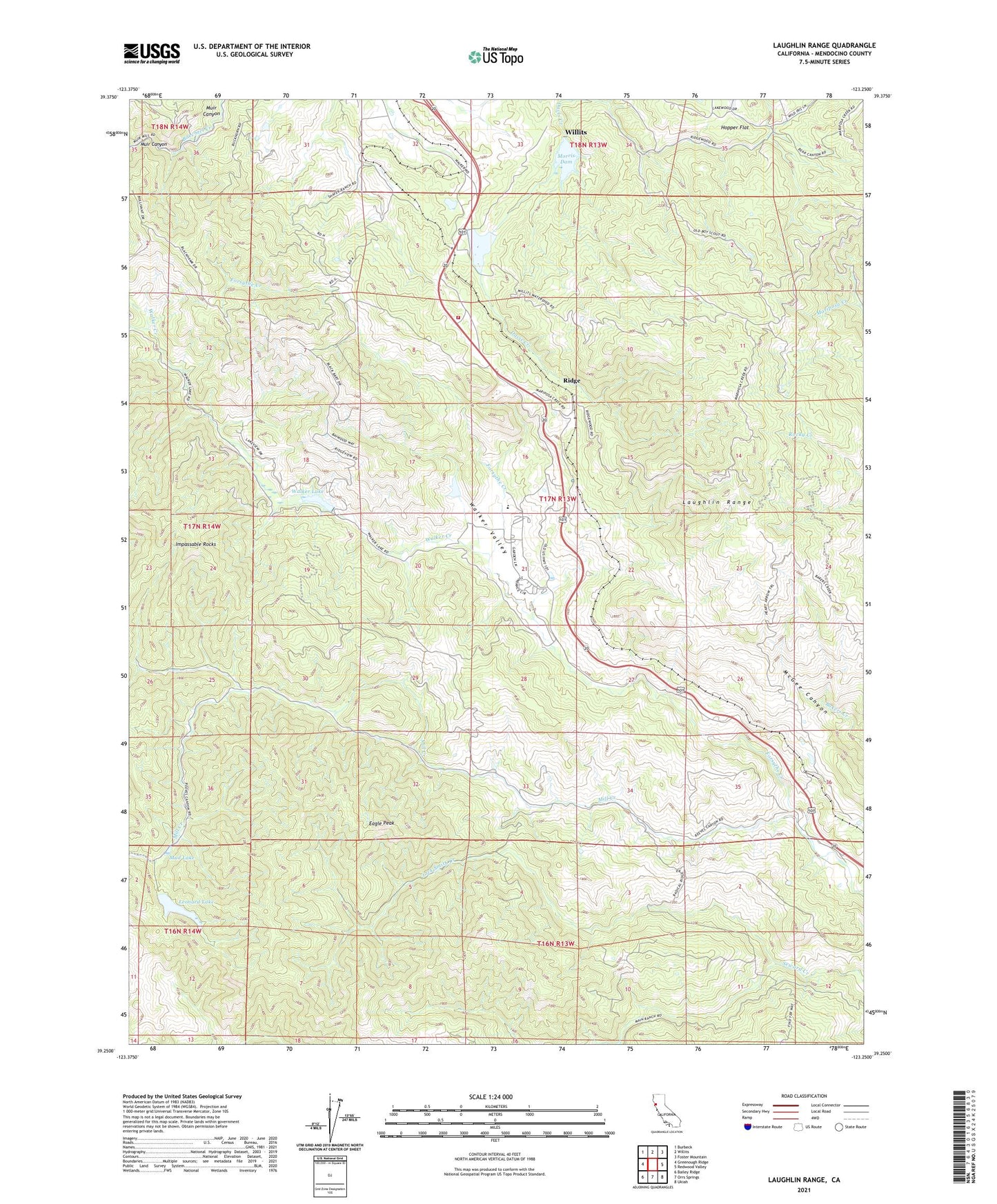
2021 topographic map quadrangle Laughlin Range in the state of California. Scale: 1:24000. Based on the newly updated USGS 7.5' US Topo map series, this map is in the following counties: Mendocino. The map contains contour data, water features, and other items you are used to seeing on USGS maps, but also has updated roads and other features. This is the next generation of topographic maps. Printed on high-quality waterproof paper with UV fade-resistant inks.
Quads adjacent to this one:
West: Greenough Ridge
Northwest: Burbeck
North: Willits
Northeast: Foster Mountain
East: Redwood Valley
Southeast: Ukiah
South: Orrs Springs
Southwest: Bailey Ridge
This map covers the same area as the classic USGS quad with code o39123c3.
Contains the following named places: California Department of Forestry and Fire Protection Mendocino Unit Headquarters, Camp Cheerio, Eagle Peak, Eldridge Creek, Harris Quarry, Hopper Flat, Impassable Rocks, Jack Smith Creek, KUKI-FM (Ukiah), La Vida Charter School, Laughlin Range, Leonard Lake, Mendocino County C D F Headquarter, Mill Creek, Morris Dam, Mud Lake, Ridge, Ridgewood 382 Dam, Ridgewood Park, Ridgewood Ranch, Walker Creek, Walker Lake, Walker Valley