MyTopo
Aguilar Colorado US Topo Map
Couldn't load pickup availability
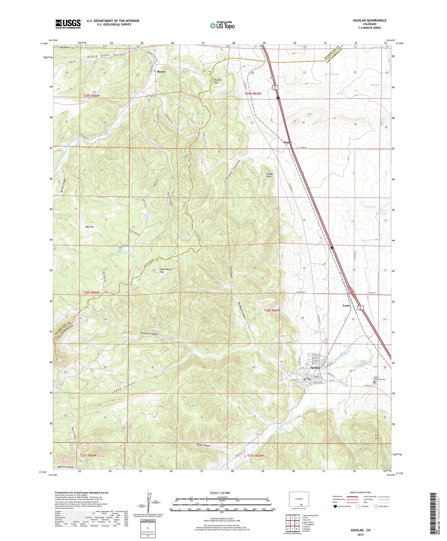
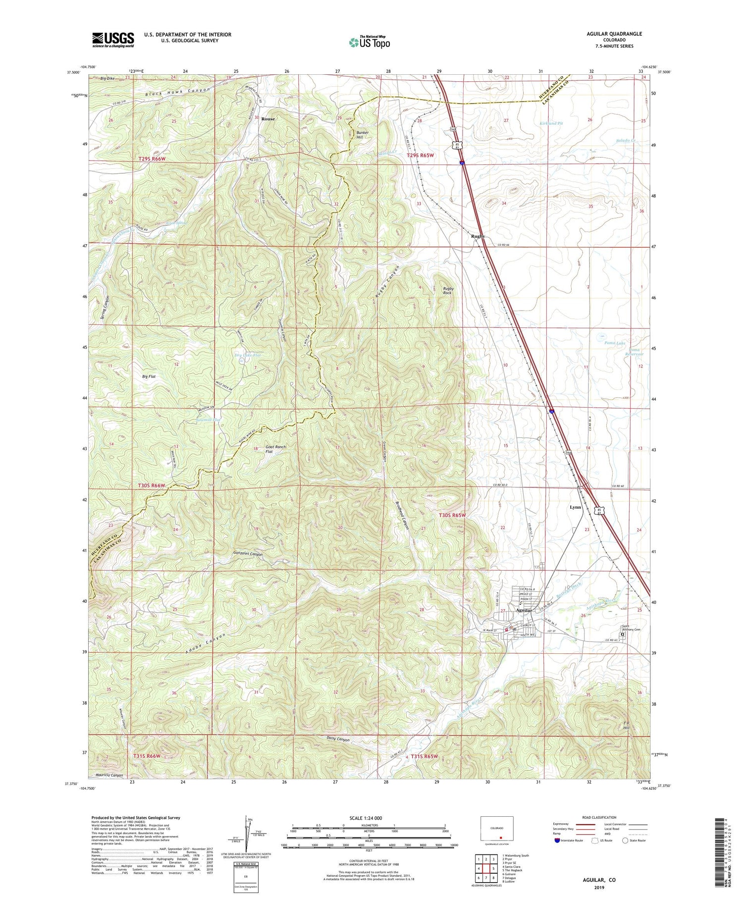
2022 topographic map quadrangle Aguilar in the state of Colorado. Scale: 1:24000. Based on the newly updated USGS 7.5' US Topo map series, this map is in the following counties: Las Animas, Huerfano. The map contains contour data, water features, and other items you are used to seeing on USGS maps, but also has updated roads and other features. This is the next generation of topographic maps. Printed on high-quality waterproof paper with UV fade-resistant inks.
Quads adjacent to this one:
West: Santa Clara
Northwest: Walsenburg South
North: Pryor
Northeast: Pryor SE
East: The Hogback
Southeast: Ludlow
South: Delagua
Southwest: Gulnare
This map covers the same area as the classic USGS quad with code o37104d6.
Contains the following named places: Adobe Canyon, Aguilar, Aguilar Post Office, Big Flat, Black Hawk Mine, Blazing Rag Mine, Borrego Ditch, Broadhead Mine, Brodhead Canyon, Bunker Hill, Bunker Hill Number One Mine, Daisy Canyon, Daisy Mine, Dry Lake Flat, Empire Mine, Fourmile Canyon, Gem Mine, Goat Ranch Flat, Gonzales Canyon, Gonzales Ditch, Green Canyon, Green Canyon Mines, Healy Strip Mine, Homestead Windmill, Jewel Mine, Jolly Pit, Kenneth Mine, Kirkland Pit, Las Animas County Sheriff's Office, Las Animas Number Nine Mine, Lynn, Lynn Census Designated Place, New Rouse Mine, North Santa Clara Creek, Old Number Three Mine, Old Wichita Mine, Peerless Mine, Poma Lake, Poma Reservoir, Prosperity Mine, Prosperity Mine Number 2, Rapson Mine, Rouse, Rouse Mine, Rouse Spring, Royal Mine, Rugby, Rugby Canyon, Rugby Rock, Saint Anthony Cemetery, Sawmill Flat, South Santa Clara Creek, Southwestern Mine, Spanish Peaks Volunteer Fire Department Aguilar Station, Spring Canyon, Spring Mine, T V Hill, Town of Aguilar, Vickers Mine, Victor Smith Prospect, Weeks Mine


