
MyTopo
Ludlow Colorado US Topo Map
Couldn't load pickup availability
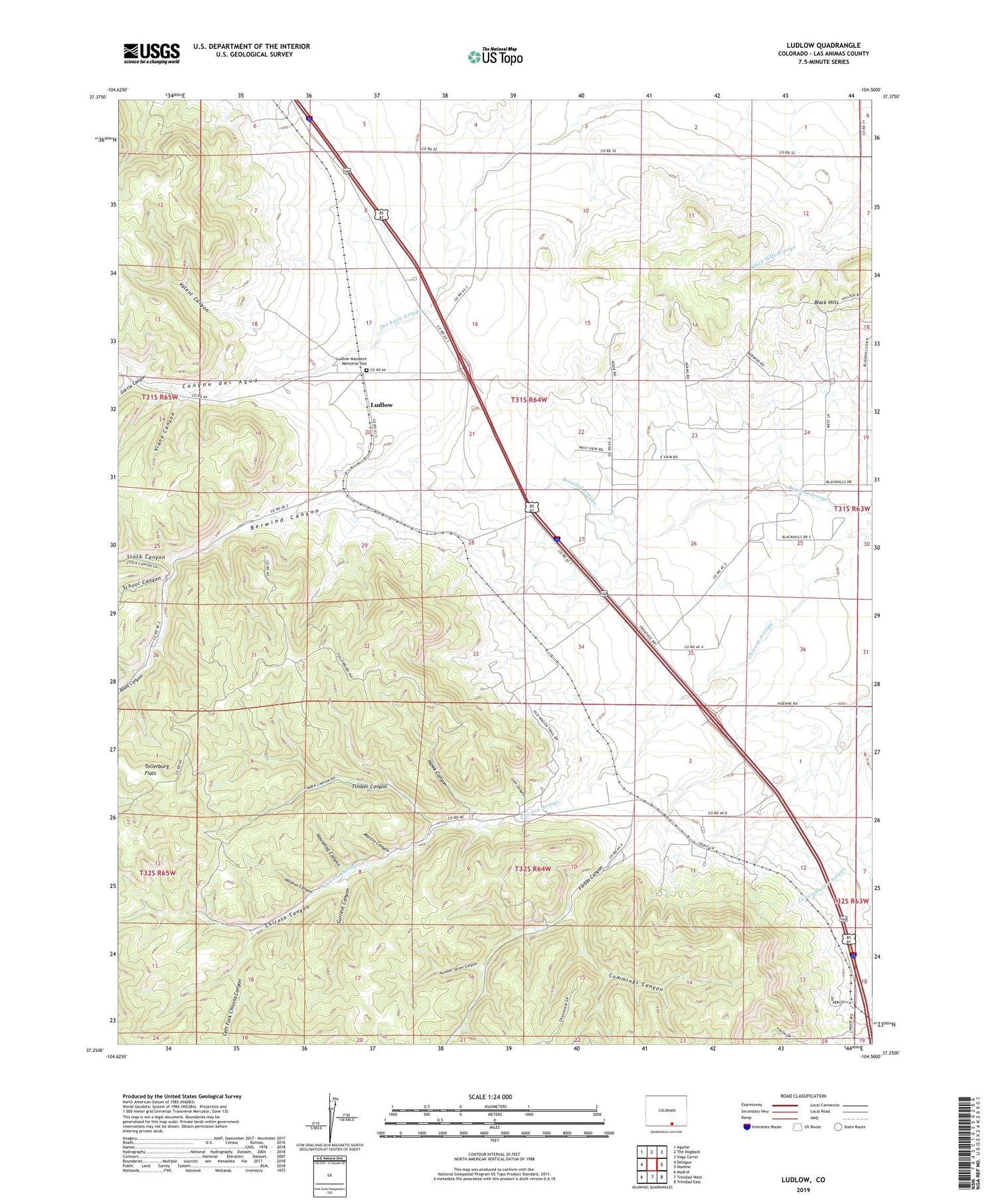
2022 topographic map quadrangle Ludlow in the state of Colorado. Scale: 1:24000. Based on the newly updated USGS 7.5' US Topo map series, this map is in the following counties: Las Animas. The map contains contour data, water features, and other items you are used to seeing on USGS maps, but also has updated roads and other features. This is the next generation of topographic maps. Printed on high-quality waterproof paper with UV fade-resistant inks.
Quads adjacent to this one:
West: Delagua
Northwest: Aguilar
North: The Hogback
Northeast: Vega Corral
East: Hoehne
Southeast: Trinidad East
South: Trinidad West
Southwest: Madrid
This map covers the same area as the classic USGS quad with code o37104c5.
Contains the following named places: Alpine Mine, Berwind Canyon, Berwind Mines, Black Hills, Canyon del Agua, Chacuaco Creek Mine, Chicosa Canyon, Chicosa Mines, Cox and Cox Mines, Cummings Canyon, Current Canyon, Forbes, Forbes Canyon, Forbes Junction, Forbes Mine, Garcia Canyon, Hastings Mine, Hawk Canyon, Houselog Canyon, Left Fork Chicosa Canyon, Liberty Mine, Lion Canyon, Ludlow, Ludlow Massacre Memorial Site, Ludlow Memorial, Ludlow Mine, Majestic Mine, Martin Canyon, Number Seven Canyon, Ramey Mines, Road Canyon, School Canyon, Stock Canyon, Suffield Mine, Tabasco Mine, Thor Mine, Timber Canyon, Tollerburg Flats, Valent Canyon, Viana Canyon, Wildcat Canyon


