MyTopo
Basin Colorado US Topo Map
Couldn't load pickup availability
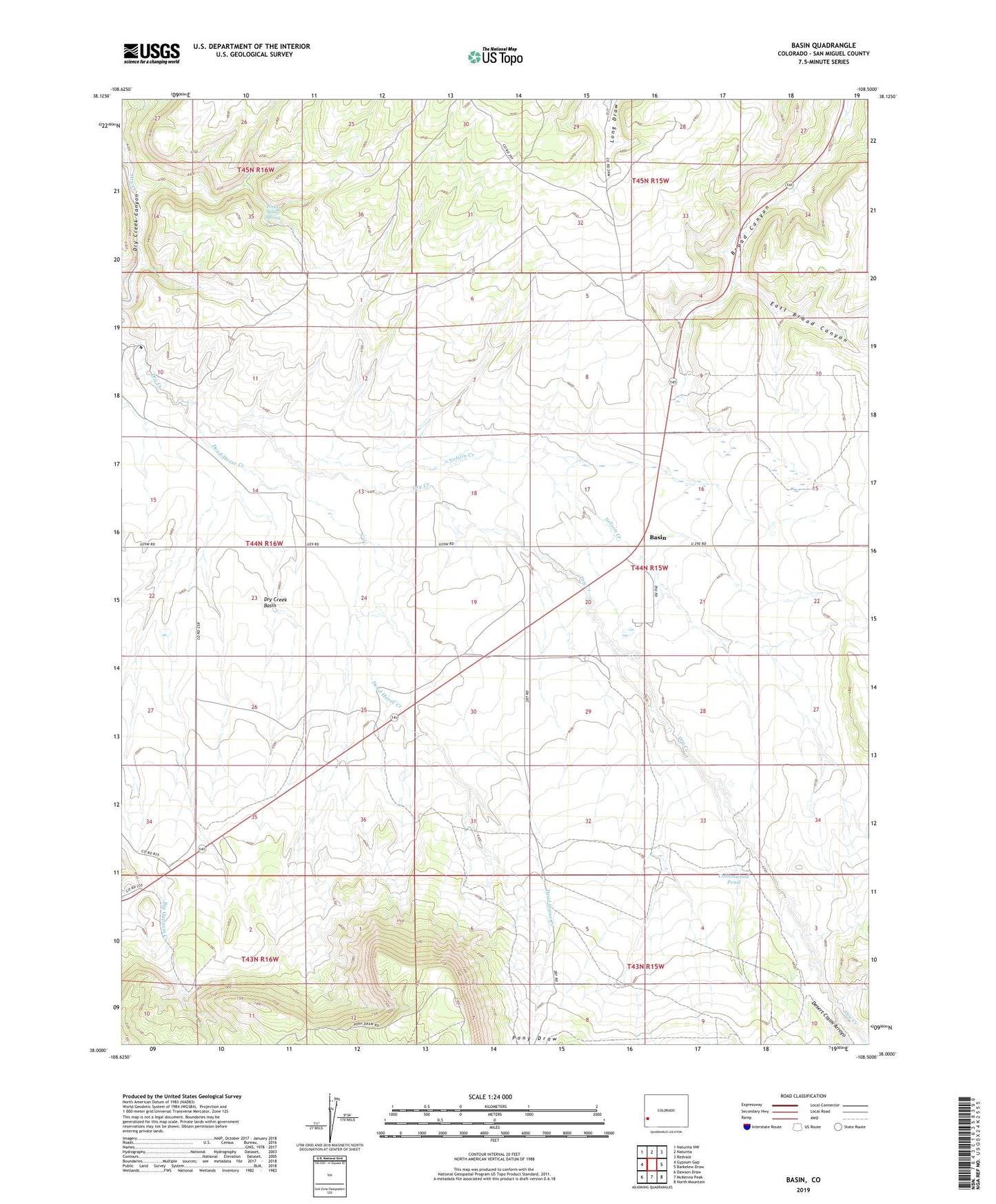
2022 topographic map quadrangle Basin in the state of Colorado. Scale: 1:24000. Based on the newly updated USGS 7.5' US Topo map series, this map is in the following counties: San Miguel. The map contains contour data, water features, and other items you are used to seeing on USGS maps, but also has updated roads and other features. This is the next generation of topographic maps. Printed on high-quality waterproof paper with UV fade-resistant inks.
Quads adjacent to this one:
West: Gypsum Gap
Northwest: Naturita NW
North: Naturita
Northeast: Redvale
East: Barkelew Draw
Southeast: North Mountain
South: McKenna Peak
Southwest: Dawson Draw
This map covers the same area as the classic USGS quad with code o38108a5.
Contains the following named places: Basin, Beards Corner, Cottonwood Pond, Dead Horse Creek, Desert Claim Arroyo, Dry Creek Basin, Dry Creek Basin State Wildlife Area, East Broad Canyon, Nelson Creek, Poison Spider Spring, Pony Draw, The Burn, Young Ranch, ZIP Code: 81431