MyTopo
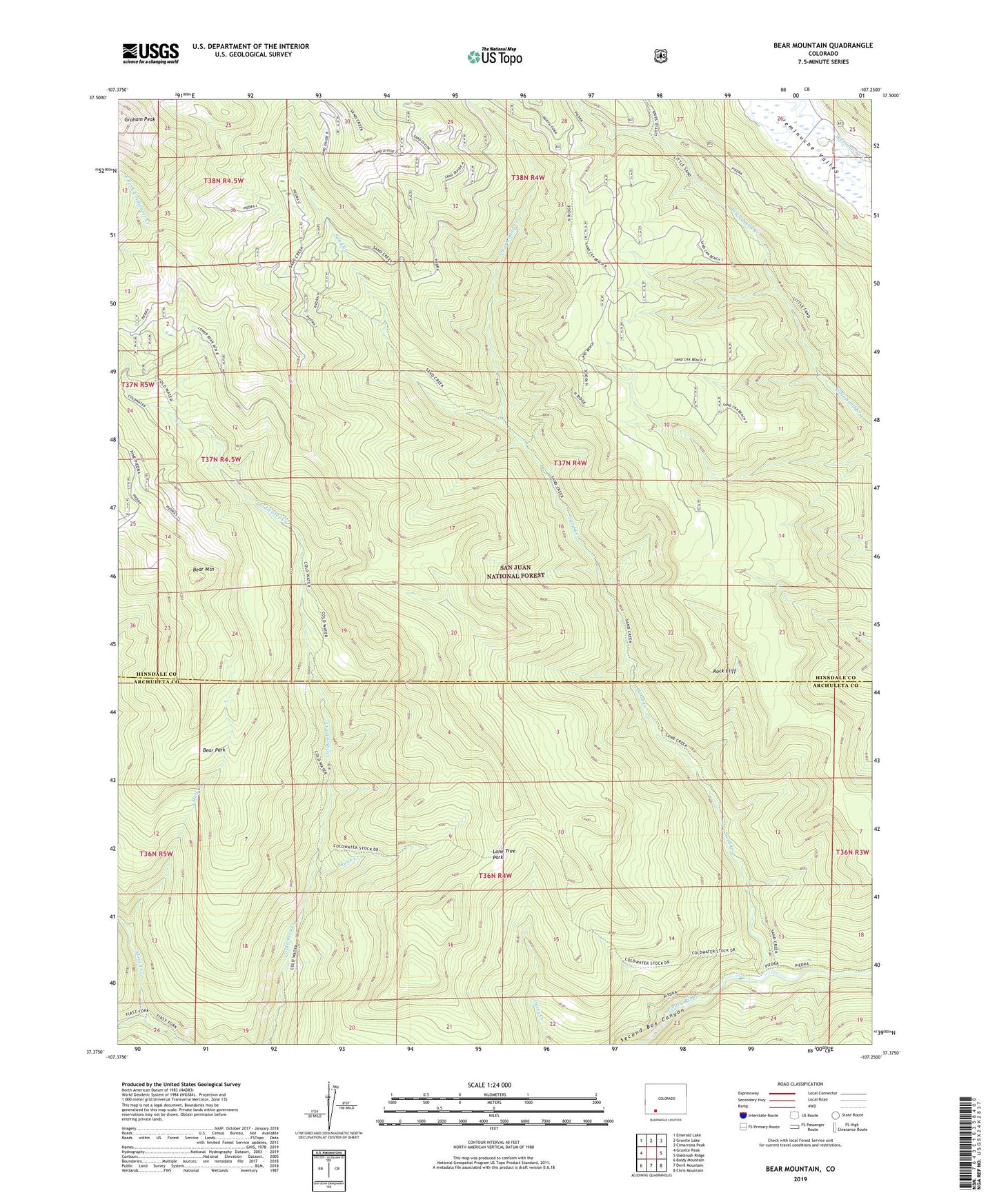
Bear Mountain Colorado US Topo Map
Couldn't load pickup availability
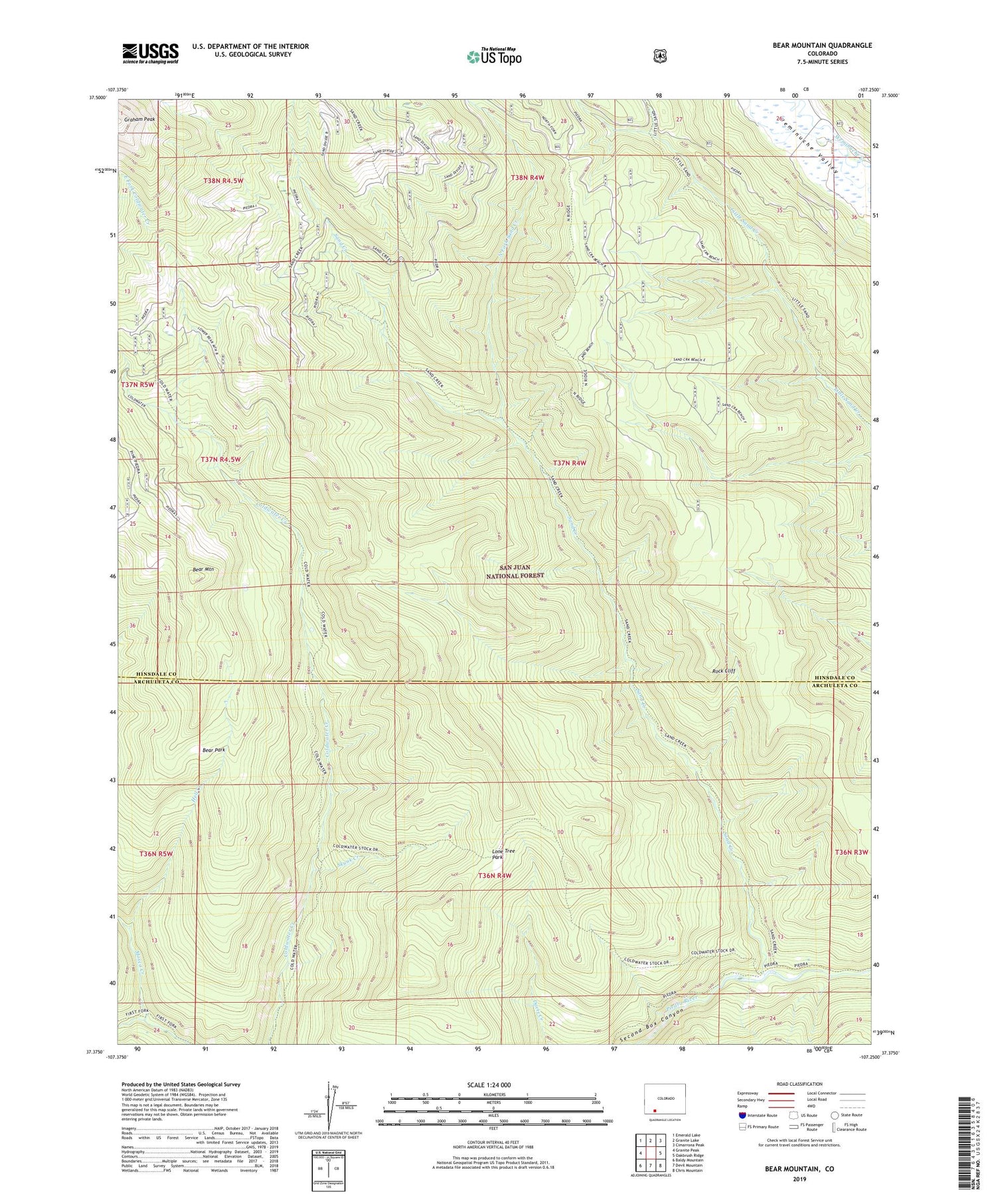
Also explore the Bear Mountain Forest Service Topo of this same quad for updated USFS data
2022 topographic map quadrangle Bear Mountain in the state of Colorado. Scale: 1:24000. Based on the newly updated USGS 7.5' US Topo map series, this map is in the following counties: Hinsdale, Archuleta. The map contains contour data, water features, and other items you are used to seeing on USGS maps, but also has updated roads and other features. This is the next generation of topographic maps. Printed on high-quality waterproof paper with UV fade-resistant inks.
Quads adjacent to this one:
West: Granite Peak
Northwest: Emerald Lake
North: Granite Lake
Northeast: Cimarrona Peak
East: Oakbrush Ridge
Southeast: Chris Mountain
South: Devil Mountain
Southwest: Baldy Mountain
This map covers the same area as the classic USGS quad with code o37107d3.
Contains the following named places: Bear Mountain, Bear Park, East Fork Coldwater Creek, Hell Creek, Lone Tree Park, Mosca Creek, North Fork Sand Creek, Rock Cliff, Sand Creek, Skunk Creek, West Fork Coldwater Creek