
MyTopo
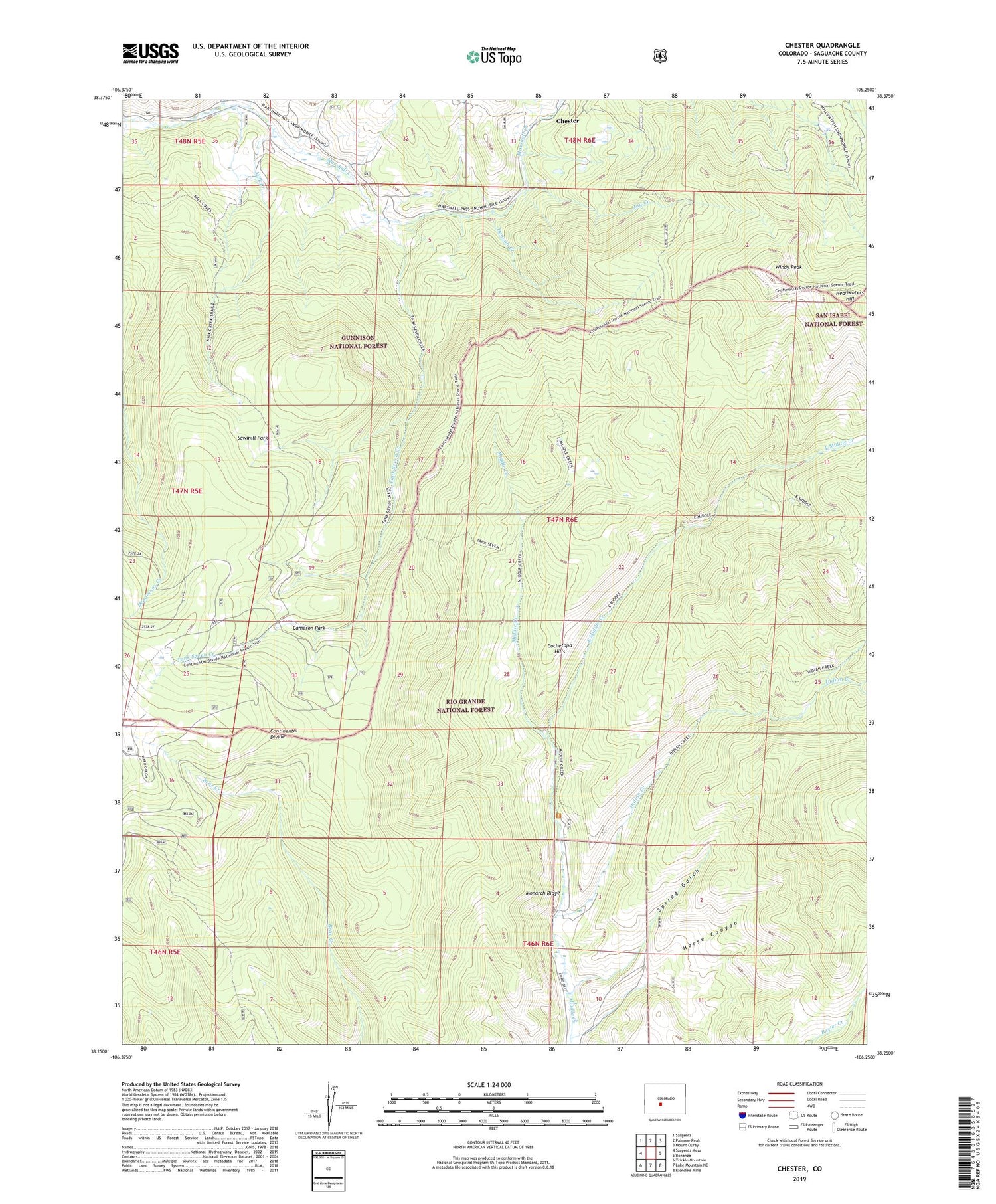
Chester Colorado US Topo Map
Couldn't load pickup availability
Also explore the Chester Forest Service Topo of this same quad for updated USFS data
2022 topographic map quadrangle Chester in the state of Colorado. Scale: 1:24000. Based on the newly updated USGS 7.5' US Topo map series, this map is in the following counties: Saguache. The map contains contour data, water features, and other items you are used to seeing on USGS maps, but also has updated roads and other features. This is the next generation of topographic maps. Printed on high-quality waterproof paper with UV fade-resistant inks.
Quads adjacent to this one:
West: Sargents Mesa
Northwest: Sargents
North: Pahlone Peak
Northeast: Mount Ouray
East: Bonanza
Southeast: Klondike Mine
South: Lake Mountain NE
Southwest: Trickle Mountain
This map covers the same area as the classic USGS quad with code o38106c3.
Contains the following named places: Cameron Park, Chester, Duncan Creek, East Middle Creek, Headwaters Hill, Horse Canyon, Indian Creek, Jay Creek, Milk Creek, Sawmill Park, Spring Gulch, Tank Seven Creek, Windy Peak


