MyTopo
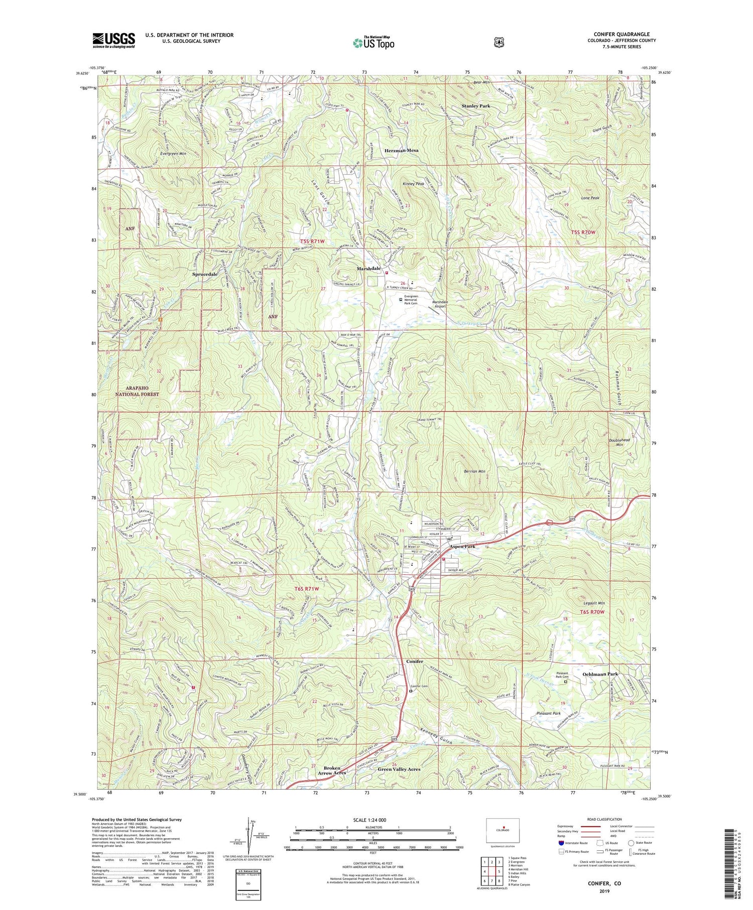
Conifer Colorado US Topo Map
Couldn't load pickup availability
Also explore the Conifer Forest Service Topo of this same quad for updated USFS data
2022 topographic map quadrangle Conifer in the state of Colorado. Scale: 1:24000. Based on the newly updated USGS 7.5' US Topo map series, this map is in the following counties: Jefferson. The map contains contour data, water features, and other items you are used to seeing on USGS maps, but also has updated roads and other features. This is the next generation of topographic maps. Printed on high-quality waterproof paper with UV fade-resistant inks.
Quads adjacent to this one:
West: Meridian Hill
Northwest: Squaw Pass
North: Evergreen
Northeast: Morrison
East: Indian Hills
Southeast: Platte Canyon
South: Pine
Southwest: Bailey
This map covers the same area as the classic USGS quad with code o39105e3.
Contains the following named places: Annie Mine, Aspen Park, Aspen Park Census Designated Place, Atlantic Mine, Augusta Mine, Bear Mountain, Bell Park, Berrian Mountain, Blue Creek, Broken Arrow Acres, Camp Newton, Casto Creek, Conifer, Conifer Cemetery, Conifer Post Office, Cub Creek Park, Denver Mountain Park Site, Doublehead Mountain, Elk Creek Fire Protection District - Station 3, Elk Creek Fire Protection District - Station 4, Evergreen Fire / Rescue Station 3, Evergreen Fire / Rescue Station 4, Evergreen Fluorite Deposit Mine, Evergreen Meadows Quarry, Evergreen Memorial Park Cemetery, Evergreen Mountain, Flying J Ranch Airport, Green Valley Acres, Herzman Mesa, James Q Newton Park, Jefferson County, Kinney Peak, Lans Gulch, Legault Mountain, Lone Peak, Marshdale, Marshdale Airport, Maxwell Creek, Meyer Ranch Airport, Oehlmann Park, Our Lady of the Rockies Camp, Pleasant Park, Pleasant Park Cemetery, Pleasant Park Grange, Rossman Gulch, Sprucedale, Stanley Park, West Jefferson Elementary School, Wild Rose Grange, Wilmot Elementary School


