MyTopo
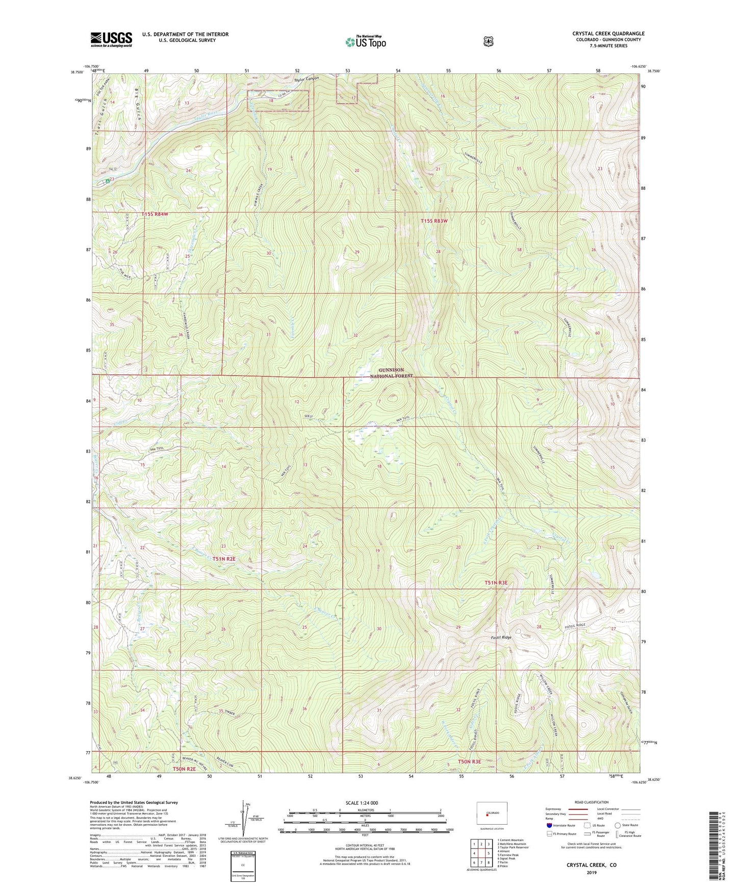
Crystal Creek Colorado US Topo Map
Couldn't load pickup availability
Also explore the Crystal Creek Forest Service Topo of this same quad for updated USFS data
2022 topographic map quadrangle Crystal Creek in the state of Colorado. Scale: 1:24000. Based on the newly updated USGS 7.5' US Topo map series, this map is in the following counties: Gunnison. The map contains contour data, water features, and other items you are used to seeing on USGS maps, but also has updated roads and other features. This is the next generation of topographic maps. Printed on high-quality waterproof paper with UV fade-resistant inks.
Quads adjacent to this one:
West: Almont
Northwest: Cement Mountain
North: Matchless Mountain
Northeast: Taylor Park Reservoir
East: Fairview Peak
Southeast: Pitkin
South: Parlin
Southwest: Signal Peak
This map covers the same area as the classic USGS quad with code o38106f6.
Contains the following named places: Big Gulch, Bon Ton Mine, East Beaver Creek, Fivemile Creek, Fossil Ridge Trail, Fossil Ridge Wilderness, Gunnison Division, Rosy Lane Campground, Slaughterhouse Creek, South Fork Crystal Creek, Summerville Trail, Taylor Canyon Guard Station, Threemile Creek