MyTopo
Almont Colorado US Topo Map
Couldn't load pickup availability
Also explore the Almont Forest Service Topo of this same quad for updated USFS data
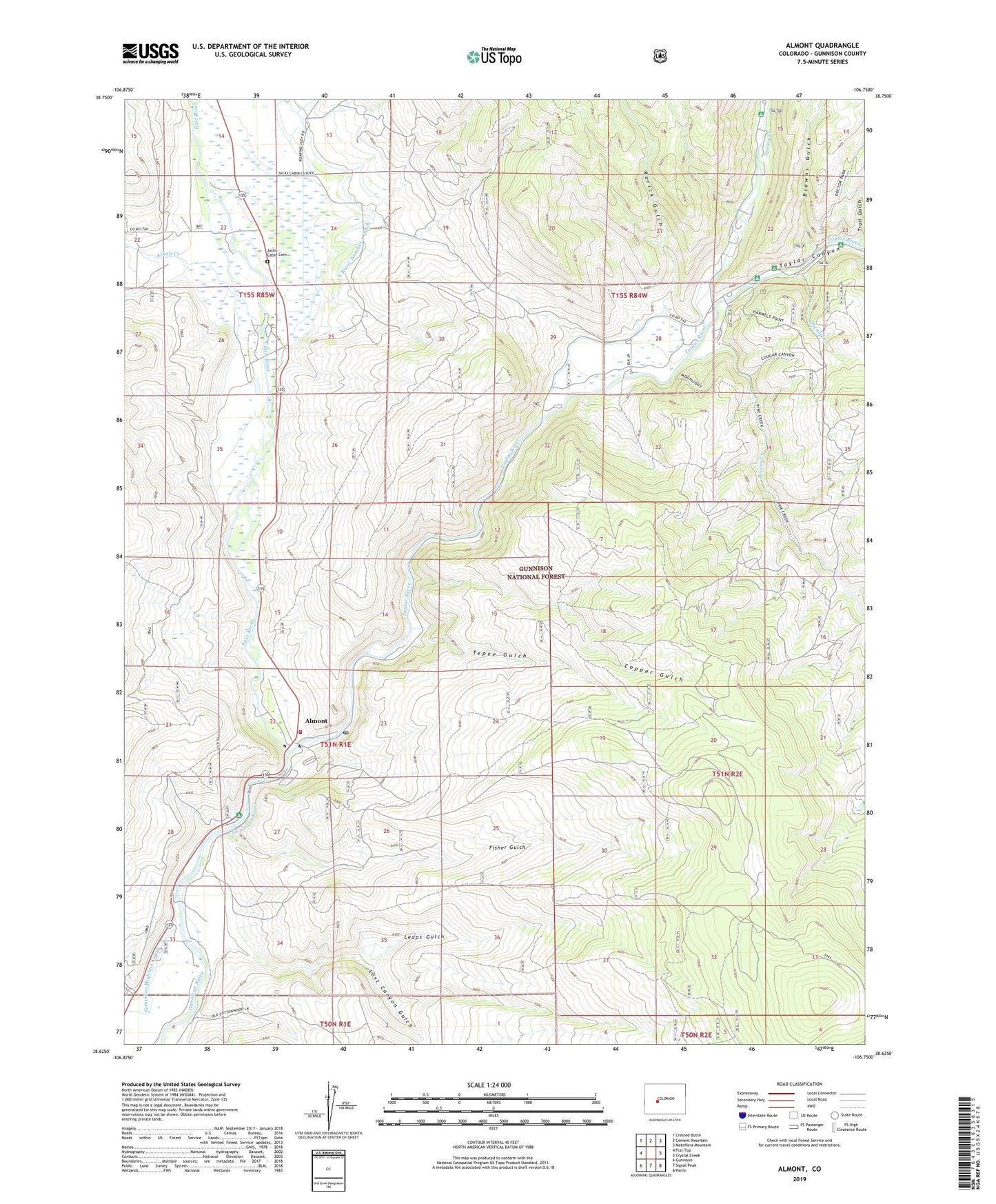
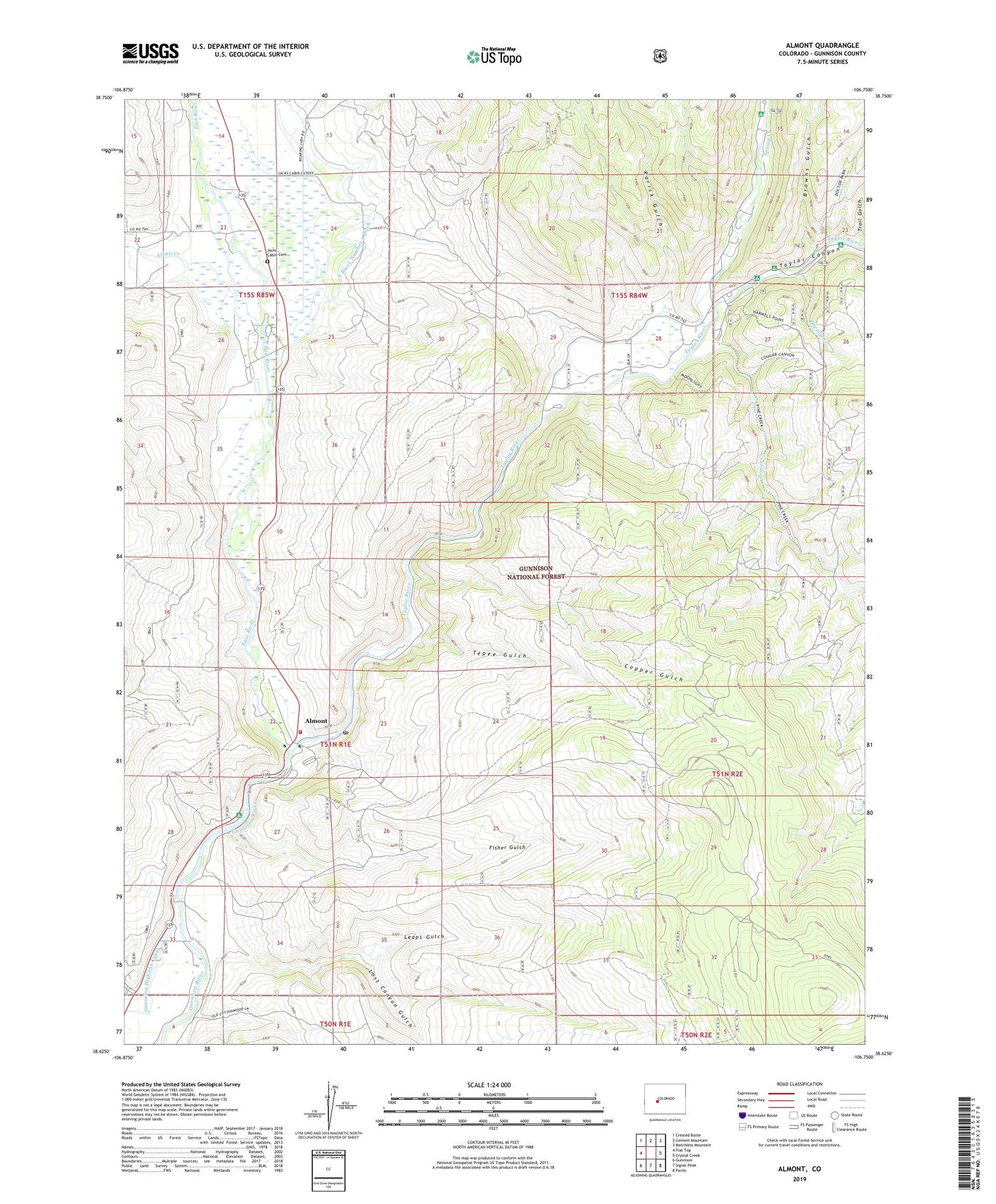
2022 topographic map quadrangle Almont in the state of Colorado. Scale: 1:24000. Based on the newly updated USGS 7.5' US Topo map series, this map is in the following counties: Gunnison. The map contains contour data, water features, and other items you are used to seeing on USGS maps, but also has updated roads and other features. This is the next generation of topographic maps. Printed on high-quality waterproof paper with UV fade-resistant inks.
Quads adjacent to this one:
West: Flat Top
Northwest: Crested Butte
North: Cement Mountain
Northeast: Matchless Mountain
East: Crystal Creek
Southeast: Parlin
South: Signal Peak
Southwest: Gunnison
This map covers the same area as the classic USGS quad with code o38106f7.
Contains the following named places: Alkali Creek, Almont, Almont Campground, Almont Fire Department, Almont Post Office, Beaver Creek, Browns Gulch, Cliff Creek, Copper Gulch, East River, Fisher Gulch, Gunnison City Mountain Park, Jacks Cabin, Jacks Cabin Cemetery, Leaps Gulch, Lost Canyon Gulch, North Bank Campground, Onemile Campground, Onemile Cattle Trail, Onemile Creek, Rarick Gulch, Roaring Judy Creek, Roaring Judy Fish Hatchery, Roaring Judy State Wildlife Area, Ropers Work Center, Slumgullion Creek, Spring Creek, Spring Creek Campground, Taylor Canyon, Taylor Canyon Campground, Taylor River, Tepee Gulch, Trail Gulch