MyTopo
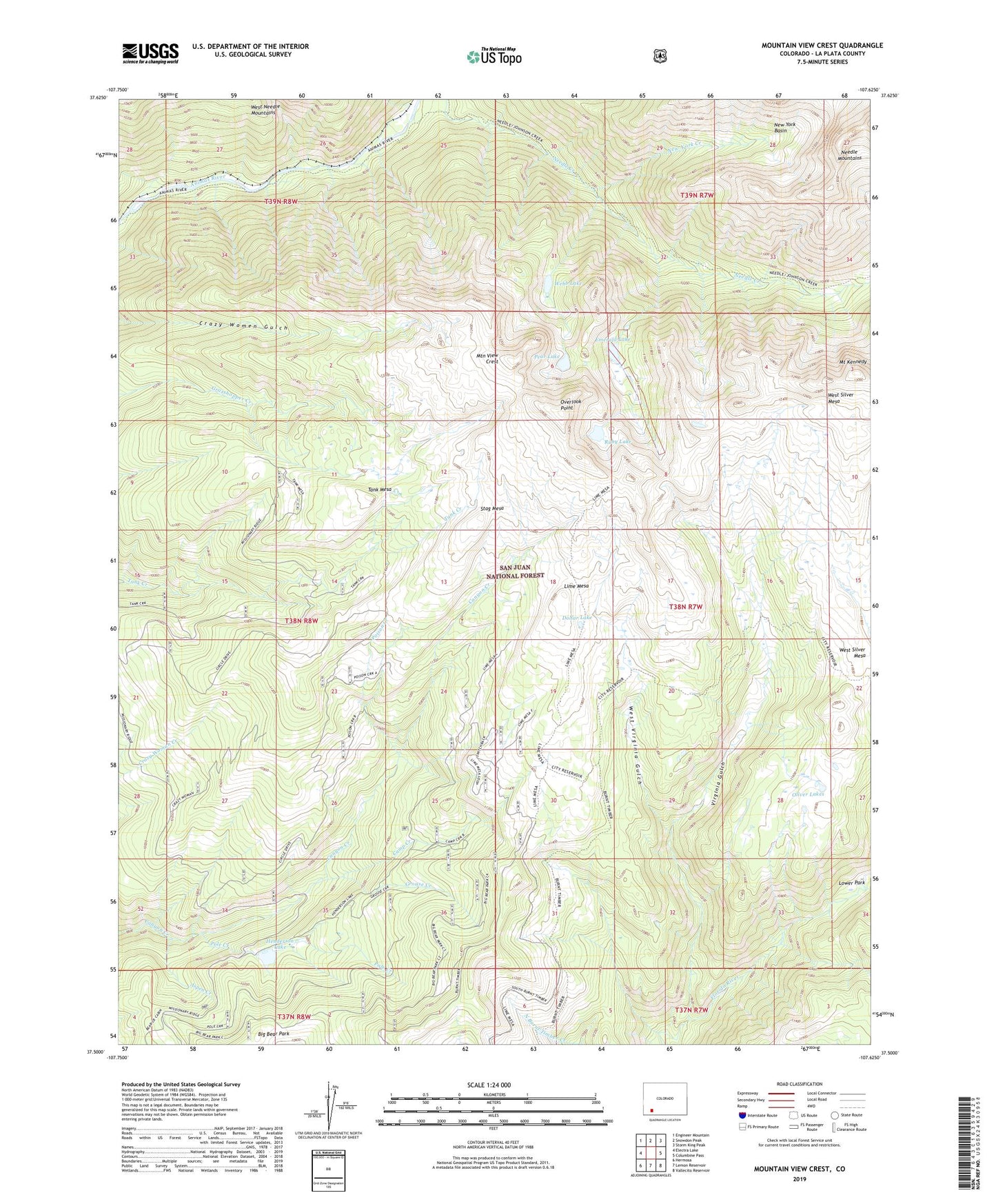
Mountain View Crest Colorado US Topo Map
Couldn't load pickup availability
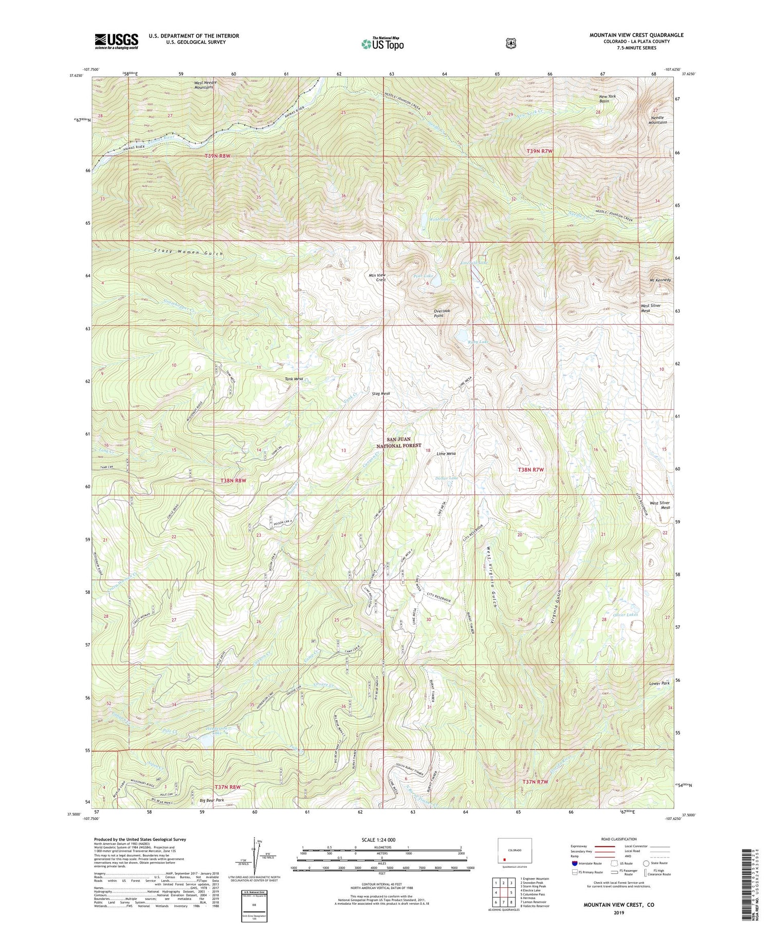
Also explore the Mountain View Crest Forest Service Topo of this same quad for updated USFS data
2022 topographic map quadrangle Mountain View Crest in the state of Colorado. Scale: 1:24000. Based on the newly updated USGS 7.5' US Topo map series, this map is in the following counties: La Plata. The map contains contour data, water features, and other items you are used to seeing on USGS maps, but also has updated roads and other features. This is the next generation of topographic maps. Printed on high-quality waterproof paper with UV fade-resistant inks.
Quads adjacent to this one:
West: Electra Lake
Northwest: Engineer Mountain
North: Snowdon Peak
Northeast: Storm King Peak
East: Columbine Pass
Southeast: Vallecito Reservoir
South: Lemon Reservoir
Southwest: Hermosa
This map covers the same area as the classic USGS quad with code o37107e6.
Contains the following named places: Aspen Creek, Big Bear Park, Brooklyn Mine, Camp Creek, Dollar Lake, Emerald Lake, Grouse Creek, Henderson Lake, Henderson Lake Dam, Homestake Tunnel Mine, Lime Mesa, Mastodon Mine, Mount Kennedy, Mountain View Crest, New York Basin, New York Creek, Oliver Lakes, Overlook Point, Pear Lake, Poison Creek, Pole Creek, Ruby Lake, Slipper Tunnel Mine, Stag Mesa, Tank Mesa, Virginia Gulch, Webb Lake, West Silver Mesa, West Virginia Gulch