MyTopo
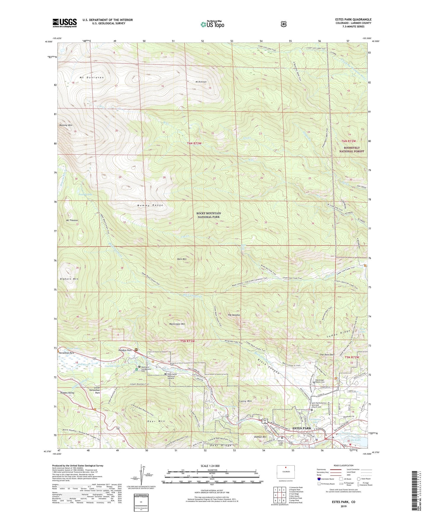
Estes Park Colorado US Topo Map
Couldn't load pickup availability
Also explore the Estes Park Forest Service Topo of this same quad for updated USFS data
2022 topographic map quadrangle Estes Park in the state of Colorado. Scale: 1:24000. Based on the newly updated USGS 7.5' US Topo map series, this map is in the following counties: Larimer. The map contains contour data, water features, and other items you are used to seeing on USGS maps, but also has updated roads and other features. This is the next generation of topographic maps. Printed on high-quality waterproof paper with UV fade-resistant inks.
Quads adjacent to this one:
West: Trail Ridge
Northwest: Comanche Peak
North: Pingree Park
Northeast: Crystal Mountain
East: Glen Haven
Southeast: Panorama Peak
South: Longs Peak
Southwest: McHenrys Peak
This map covers the same area as the classic USGS quad with code o40105d5.
Contains the following named places: Aspenglen Campground, Aspenglen Campground Cemetery, Bighorn Creek, Bighorn Mountain, Bighorn Ranger Station, Black Canyon, Black Canyon Creek, Bridal Veil Falls, Cascade Lake, Castle Mountain, Colorado State Fish Hatchery, Cow Creek Trail, Dark Mountain, Deer Mountain, Deer Mountain Trail, Deer Ridge, Dunraven Trail, Elkhorn Lodge Cemetery, Estes Park, Estes Park District Ranger Office, Estes Park Division, Estes Park Filtration Plant, Estes Valley Fire Protection District Dannels Station, Estes Valley Memorial Gardens, Fall River, Fall River Entrance, Gem Lake, Gem Lake Trail, Grouse Creek, Hazels Cone, Hidden Valley, Hidden Valley Creek, Hondius Park, Horseshoe Park, Husted Trail, Little Horseshoe Park, Little Horseshoe Park Trail, Livingston Lake, Lumpy Ridge, MacGregor Mountain, MacGregor Ranch Cemetery, McGraw Ranch, Mount Dickinson, Mount Dunraven, Mount Tileston, Mummy Mountain, North Boundary Trail, North Deer Mountain Trail, North Fork Ranger Station, Oldman Mountain, Placid Lake, Potts Puddle, Saint Bartholomew Church, Saint Bartholomew Episcopal Church Cemetery, Sheep Lakes, The Needles, The Twin Owls, ZIP Code: 80517


