MyTopo
Gribble Mountain Colorado US Topo Map
Couldn't load pickup availability
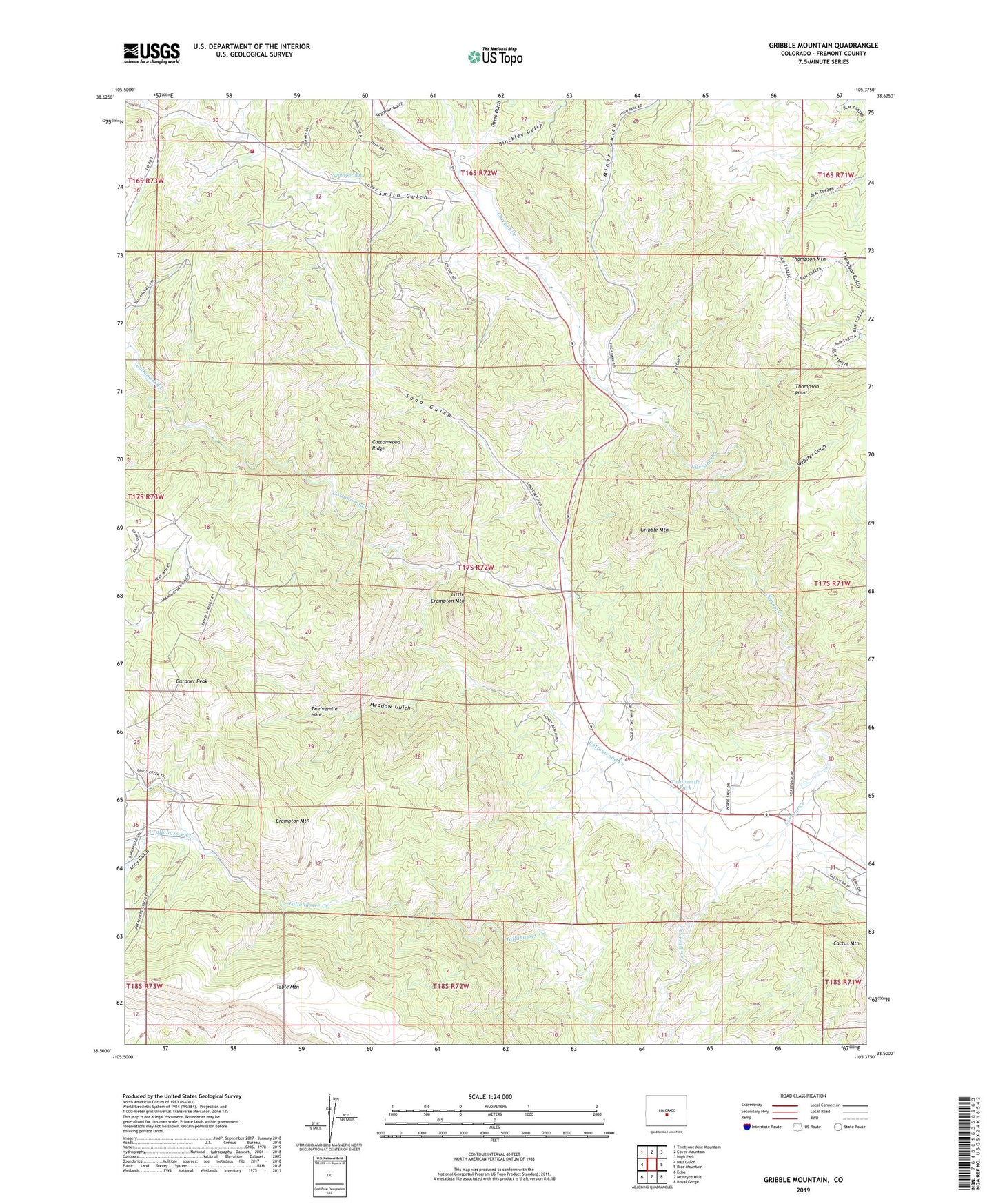
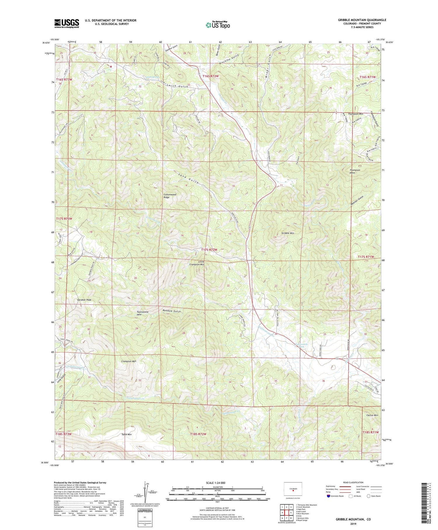
2022 topographic map quadrangle Gribble Mountain in the state of Colorado. Scale: 1:24000. Based on the newly updated USGS 7.5' US Topo map series, this map is in the following counties: Fremont. The map contains contour data, water features, and other items you are used to seeing on USGS maps, but also has updated roads and other features. This is the next generation of topographic maps. Printed on high-quality waterproof paper with UV fade-resistant inks.
Quads adjacent to this one:
West: Hall Gulch
Northwest: Thirtyone Mile Mountain
North: Cover Mountain
Northeast: High Park
East: Rice Mountain
Southeast: Royal Gorge
South: McIntyre Hills
Southwest: Echo
This map covers the same area as the classic USGS quad with code o38105e4.
Contains the following named places: Binckley Gulch, Cactus Mountain, Cap Rock Forty Mine, Cottonwood Creek, Cottonwood Ridge, Crampton Mountain, Currant Creek Mine, Daves Gulch, First Chance Mine, Gardner Peak, Gribble Mountain, Harvey Brothers Dam, Harvey Brothers Reservoir, Isabel Mine, Last Chance Mine, Little Crampton Mountain, Long Gulch, Lucky Strike Mine, Meadow Gulch, Miner Gulch, Northwest Fremont Emergency Medical Services, Red Devil Mine, Rough Gulch, Sand Gulch, Seymour Gulch, Smith Gulch, Smith Springs, South Tallahassee Creek, Thompson Mountain, Thompson Point, Trail Gulch, Twelvemile Hole, Twelvemile Park, Twelvemile School, Venture Number One Mine, Webster Gulch, ZIP Code: 81212


