MyTopo
Hawxhurst Creek Colorado US Topo Map
Couldn't load pickup availability
Also explore the Hawxhurst Creek Forest Service Topo of this same quad for updated USFS data
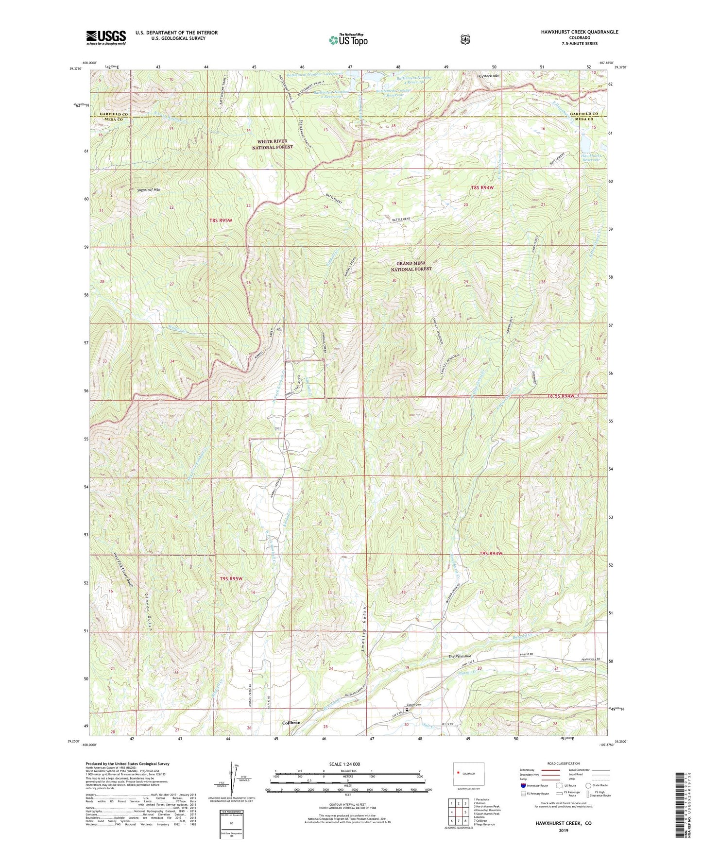
2022 topographic map quadrangle Hawxhurst Creek in the state of Colorado. Scale: 1:24000. Based on the newly updated USGS 7.5' US Topo map series, this map is in the following counties: Mesa, Garfield. The map contains contour data, water features, and other items you are used to seeing on USGS maps, but also has updated roads and other features. This is the next generation of topographic maps. Printed on high-quality waterproof paper with UV fade-resistant inks.
Quads adjacent to this one:
West: Housetop Mountain
Northwest: Parachute
North: Rulison
Northeast: North Mamm Peak
East: South Mamm Peak
Southeast: Vega Reservoir
South: Collbran
Southwest: Molina
This map covers the same area as the classic USGS quad with code o39107c8.
Contains the following named places: Battlement Mesa, Battlement Number 1 Dam, Battlement Number 1 Reservoir, Battlement Number 2 Dam, Battlement Number 2 Reservoir, Battlement Number 3 Dam, Battlement Number 3 Reservoir, Battlement Number 4 Dam, Battlement Number 4 Reservoir, Battlement Number 5 Dam, Battlement Number 5 Reservoir, Battlement Number 6 Dam, Battlement Number 6 Reservoir, Battlement Reservoirs, Bear Gulch, Clover Cemetery, Dry Fork Kimball Creek, East Hawxhurst Creek, Hawkhurst Dam, Hawxhurst Cow Camp, Hawxhurst Creek, Hawxhurst Trail, Haystack Mountain, Kennon Cow Camp, Kimball Creek Trail, McCurry Reservoir, Salt Creek, Smalley Gulch, Smalley Mountain Trail, Sugarloaf Mountain, The Peninsula, Watson Reservoir, West Fork Clover Gulch, West Fork Kimball Creek, West Hawxhurst Creek