MyTopo
North Mamm Peak Colorado US Topo Map
Couldn't load pickup availability
Also explore the North Mamm Peak Forest Service Topo of this same quad for updated USFS data
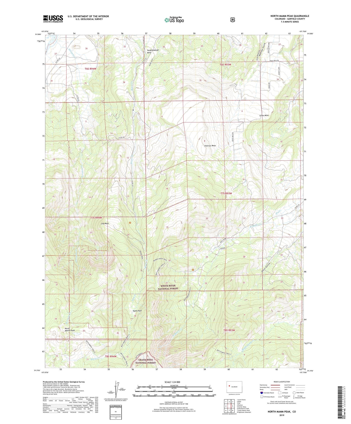
2022 topographic map quadrangle North Mamm Peak in the state of Colorado. Scale: 1:24000. Based on the newly updated USGS 7.5' US Topo map series, this map is in the following counties: Garfield. The map contains contour data, water features, and other items you are used to seeing on USGS maps, but also has updated roads and other features. This is the next generation of topographic maps. Printed on high-quality waterproof paper with UV fade-resistant inks.
Quads adjacent to this one:
West: Rulison
Northwest: Anvil Points
North: Rifle
Northeast: Silt
East: Hunter Mesa
Southeast: Hightower Mountain
South: South Mamm Peak
Southwest: Hawxhurst Creek
This map covers the same area as the classic USGS quad with code o39107d7.
Contains the following named places: Cache Creek Trail, Flatiron Mesa, Grass Mesa, Log Mesa, North Mamm Peak, Porcupine Creek, Tepee Creek, Tepee Park