MyTopo
Keenesburg Colorado US Topo Map
Couldn't load pickup availability
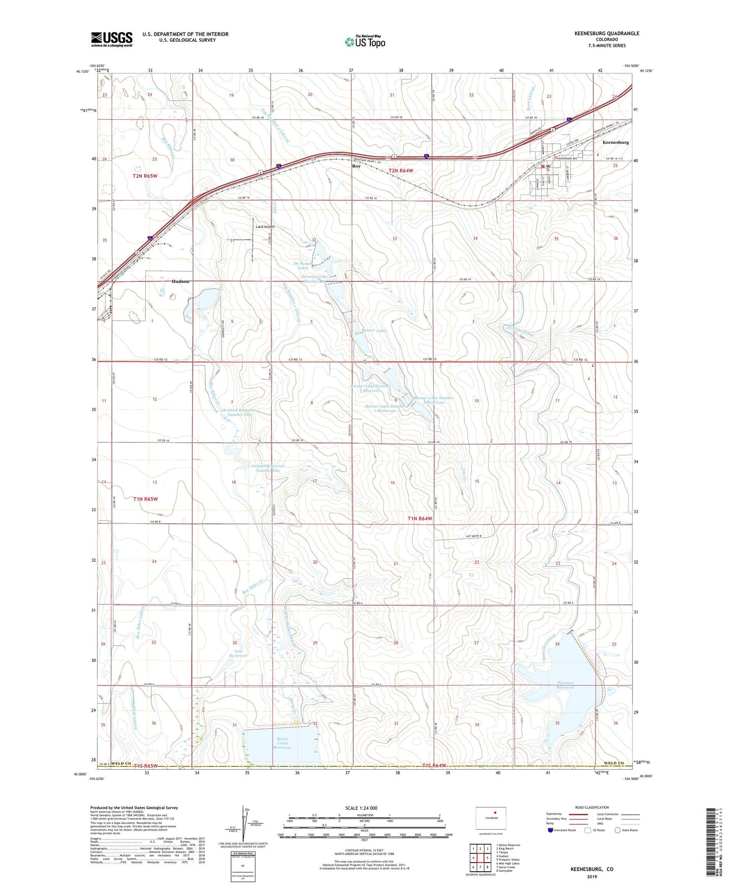
2022 topographic map quadrangle Keenesburg in the state of Colorado. Scale: 1:24000. Based on the newly updated USGS 7.5' US Topo map series, this map is in the following counties: Weld, Adams. The map contains contour data, water features, and other items you are used to seeing on USGS maps, but also has updated roads and other features. This is the next generation of topographic maps. Printed on high-quality waterproof paper with UV fade-resistant inks.
Quads adjacent to this one:
West: Hudson
Northwest: Milton Reservoir
North: Klug Ranch
Northeast: Tampa
East: Prospect Valley
Southeast: Sunnydale
South: Horse Creek
Southwest: Mile High Lakes
This map covers the same area as the classic USGS quad with code o40104a5.
Contains the following named places: Banner Lake Number 1 Dam, Banner Lake Number 1 Reservoir, Banner Lake Number 3 Dam, Banner Lake Number 3 Reservoir, Banner Lake Number 5 Dam, Banner Lake Number 5 Reservoir, Banner Lakes, Box Elder Lateral, De Remer Lakes, Denning Irrigation Reservoir Number 1, Denver-Hudson Canal, Deremer Lake Number 10, Deremer Lake Number 10 Dam, Harry Denning Irrigation Number 1 Dam, Hayes Airport, Highline Lateral, Horse Creek, Horse Creek Dam, Ireland Number 5 Dam, Ireland Reservoir Number Five, Ireland Reservoir Number Four, Ireland Reservoir Number One, Jim Creek, Jim Number 1 Lateral, Jim Number 2 Lateral, Keen Lateral, Keenesburg, Keenesburg Post Office, Land Airport, Lindys Airpark, Lott Reservoir, Prospect Reservoir, Rossi Dairy, Roy, Sloan Number 1 Dam, Sloan Number 1 Reservoir, Southwest Weld Fire Protection District Station 1 Keenesburg, Town of Hudson, ZIP Code: 80642