MyTopo
Milton Reservoir Colorado US Topo Map
Couldn't load pickup availability
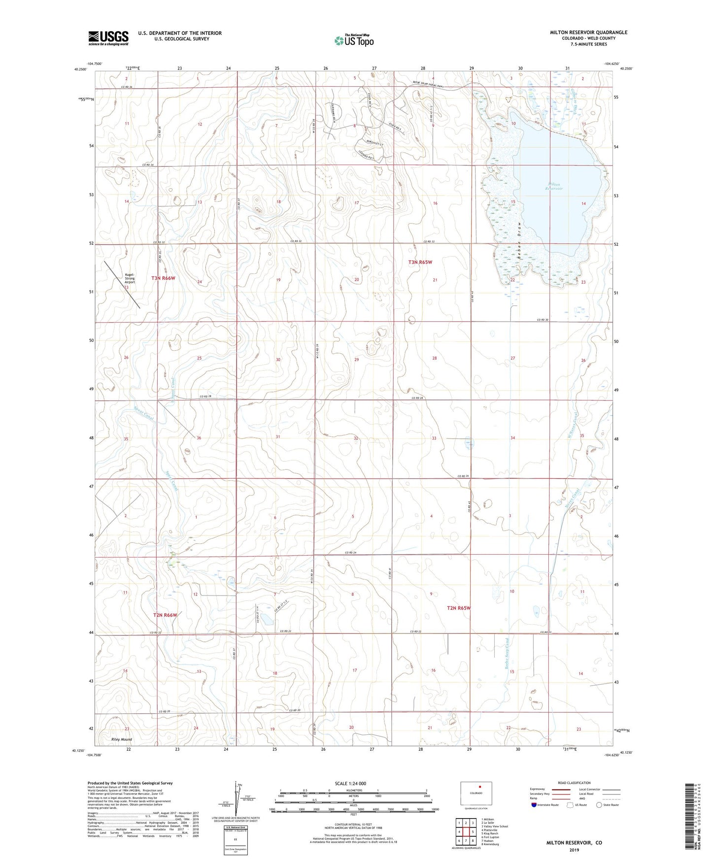
2022 topographic map quadrangle Milton Reservoir in the state of Colorado. Scale: 1:24000. Based on the newly updated USGS 7.5' US Topo map series, this map is in the following counties: Weld. The map contains contour data, water features, and other items you are used to seeing on USGS maps, but also has updated roads and other features. This is the next generation of topographic maps. Printed on high-quality waterproof paper with UV fade-resistant inks.
Quads adjacent to this one:
West: Platteville
Northwest: Milliken
North: La Salle
Northeast: Valley View School
East: Klug Ranch
Southeast: Keenesburg
South: Hudson
Southwest: Fort Lupton
This map covers the same area as the classic USGS quad with code o40104b6.
Contains the following named places: Beebe Seep Canal, East Speer Canal, Four-Way School, Kugel-Strong Airport, Milton Lake Dam, Milton Lake Reservoir, Milton Reservoir, Neres Canal, Platteville Division, Platteville Lateral, West Neres Canal, West Speer Canal