MyTopo
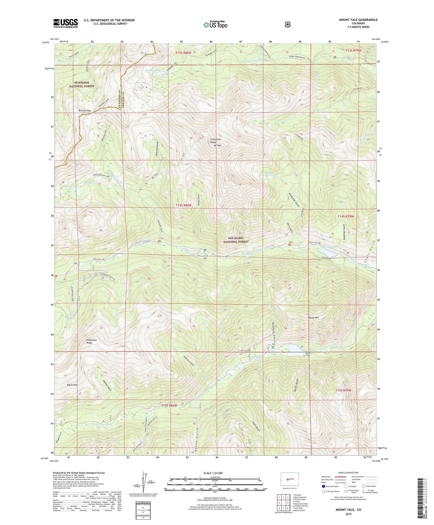
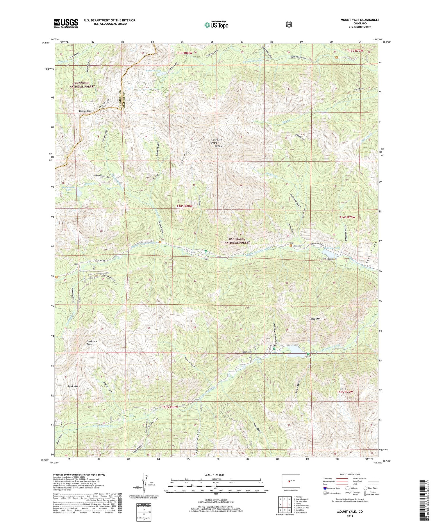
Mount Yale Colorado US Topo Map
Couldn't load pickup availability
Also explore the Mount Yale Forest Service Topo of this same quad for updated USFS data
2022 topographic map quadrangle Mount Yale in the state of Colorado. Scale: 1:24000. Based on the newly updated USGS 7.5' US Topo map series, this map is in the following counties: Chaffee, Gunnison. The map contains contour data, water features, and other items you are used to seeing on USGS maps, but also has updated roads and other features. This is the next generation of topographic maps. Printed on high-quality waterproof paper with UV fade-resistant inks.
Quads adjacent to this one:
West: Tincup
Northwest: Winfield
North: Mount Harvard
Northeast: Harvard Lakes
East: Buena Vista West
Southeast: Mount Antero
South: Saint Elmo
Southwest: Cumberland Pass
This map covers the same area as the classic USGS quad with code o38106g3.
Contains the following named places: Avalanche Gulch, Big Grassy, Browns Cabin, Browns Cabin Mine, Browns Pass, Collegiate Peaks Campground, Colt Spring Campground, Cottonwood Campground, Cottonwood Lake, Cottonwood Lake Campground, Cottonwood Lake Picnic Ground, Dead Can Gulch, Deadman Gulch, Delaney Gulch, Denny Creek, Denny Gulch, Fox Lake, Gladstone Mine, Gladstone Ridge, Green Timber Gulch, Hangmans Cabin, Harris Gulch, Hartenstein Lake, Holywater Beaver Ponds, Holywater Mine, Hope Gulch, Horn Fork Creek, Hughes Creek, Hughes Meadow Campground, Jonesy Gulch, Kroenke Lake, Longfellow Claim, Morgans Gulch, Mound Mine, Mount Yale, North Fork Denny Creek, Porphyry Gulch, Ptarmigan Creek, Rainbow Lake, Robey Gulch, Sheep Mountain, Short Gulch, Spruce Gulch, Texas Creek Trail


