MyTopo
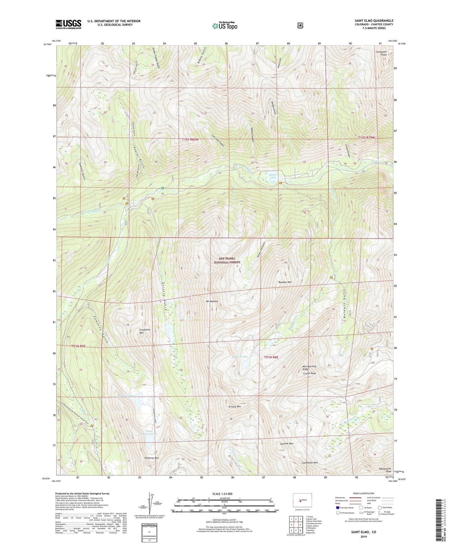
Saint Elmo Colorado US Topo Map
Couldn't load pickup availability
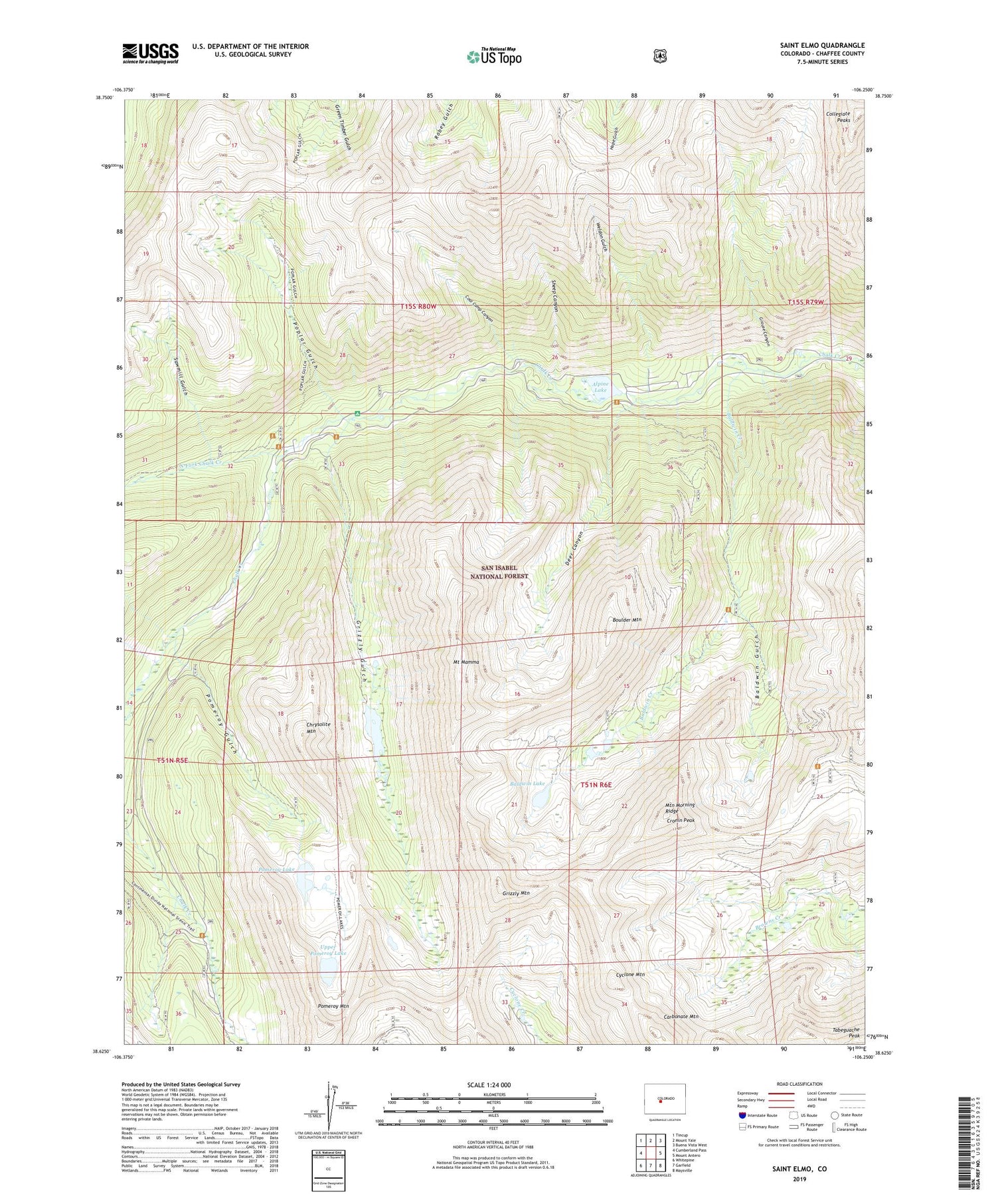
Also explore the Saint Elmo Forest Service Topo of this same quad for updated USFS data
2022 topographic map quadrangle Saint Elmo in the state of Colorado. Scale: 1:24000. Based on the newly updated USGS 7.5' US Topo map series, this map is in the following counties: Chaffee. The map contains contour data, water features, and other items you are used to seeing on USGS maps, but also has updated roads and other features. This is the next generation of topographic maps. Printed on high-quality waterproof paper with UV fade-resistant inks.
Quads adjacent to this one:
West: Cumberland Pass
Northwest: Tincup
North: Mount Yale
Northeast: Buena Vista West
East: Mount Antero
Southeast: Maysville
South: Garfield
Southwest: Whitepine
This map covers the same area as the classic USGS quad with code o38106f3.
Contains the following named places: Alpine, Alpine Lake, Alpine Number One Quarry, Baldwin Creek, Baldwin Gulch, Baldwin Lake, Black Hawk Mine, Boulder Mountain, Carbonate Mountain, Chrysolite Mountain, Coal Camp Canyon, Cronin Peak, Cyclone Mountain, Deer Canyon, Elmer McMurray Mine, Fairview Mine, Forward Gold Mining Company Mine, Garfield Quarry, Grizzly Gulch, Grizzly Lake, Grizzly Mountain, Grouse Canyon, Hancock, Iron Chest Mine, Iron City, Lehigh Mine, Maple Leaf Mine, Mary Murphy Mine, Matilda Mine, Mount Mamma, Mountain Morning Ridge, North Fork Chalk Creek, Ole Bull Mine, Pomeroy Gulch, Pomeroy Lake, Pomeroy Mountain, Poplar Gulch, Pride of the West Mine, Rarus Warrior Mine, Rolla Mine, Romley, Saint Elmo, San Isabel National Forest, Sawmill Gulch, Sheep Canyon, Stonewall, Stonewall Shaft Mine, Tabeguache Peak, Tilden Mine, Uncle Sam Mine, Upper Pomeroy Lake, Weldon Gulch, ZIP Code: 81236