MyTopo
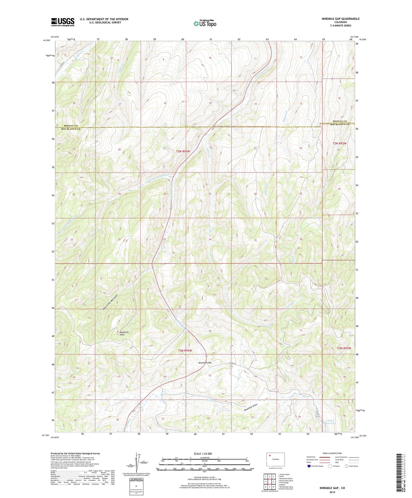
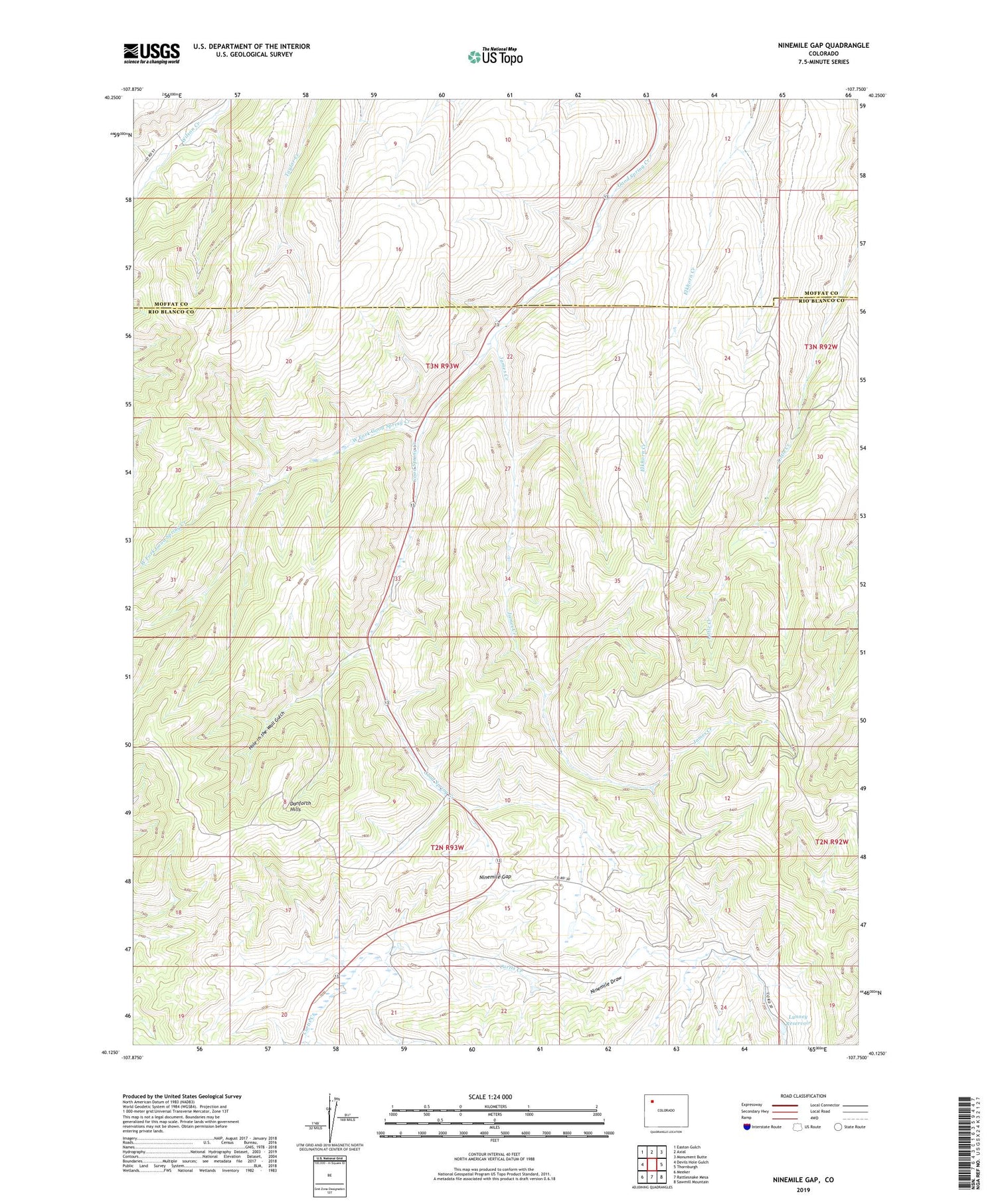
Ninemile Gap Colorado US Topo Map
Couldn't load pickup availability
2022 topographic map quadrangle Ninemile Gap in the state of Colorado. Scale: 1:24000. Based on the newly updated USGS 7.5' US Topo map series, this map is in the following counties: Rio Blanco, Moffat. The map contains contour data, water features, and other items you are used to seeing on USGS maps, but also has updated roads and other features. This is the next generation of topographic maps. Printed on high-quality waterproof paper with UV fade-resistant inks.
Quads adjacent to this one:
West: Devils Hole Gulch
Northwest: Easton Gulch
North: Axial
Northeast: Monument Butte
East: Thornburgh
Southeast: Sawmill Mountain
South: Rattlesnake Mesa
Southwest: Meeker
This map covers the same area as the classic USGS quad with code o40107b7.
Contains the following named places: Frank Pollard Mine, Gentry Mine, Hole-in-the-Wall Gulch, James Creek, James Mine, Lunney Dam, Lunney Reservoir, Ninemile Gap, Shiloh Number One Mine, Taylor Creek, Taylor Mine, Teepee Park Heliport, West Fork Good Spring Creek