
MyTopo
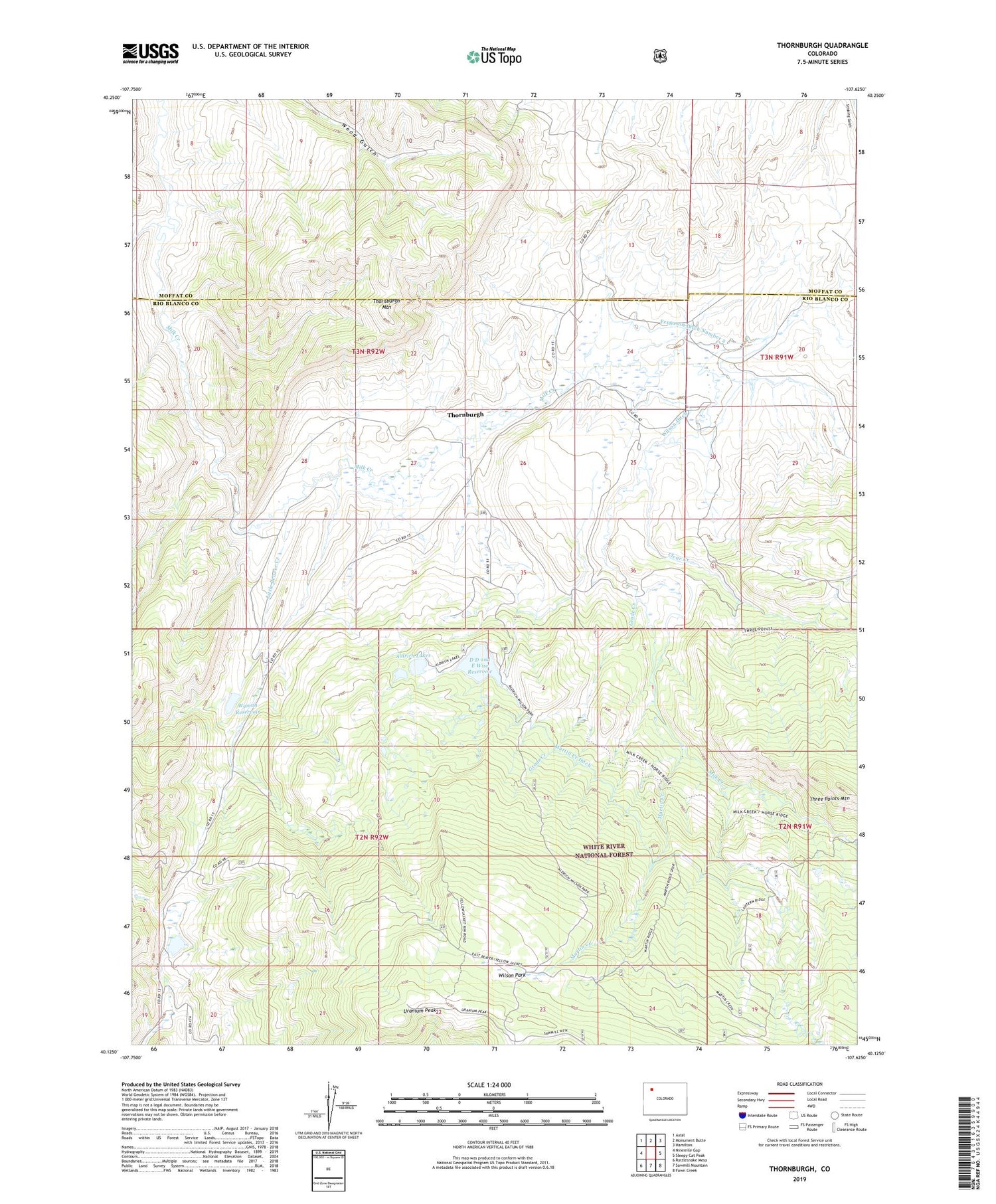
Thornburgh Colorado US Topo Map
Couldn't load pickup availability
Also explore the Thornburgh Forest Service Topo of this same quad for updated USFS data
2022 topographic map quadrangle Thornburgh in the state of Colorado. Scale: 1:24000. Based on the newly updated USGS 7.5' US Topo map series, this map is in the following counties: Rio Blanco, Moffat. The map contains contour data, water features, and other items you are used to seeing on USGS maps, but also has updated roads and other features. This is the next generation of topographic maps. Printed on high-quality waterproof paper with UV fade-resistant inks.
Quads adjacent to this one:
West: Ninemile Gap
Northwest: Axial
North: Monument Butte
Northeast: Hamilton
East: Sleepy Cat Peak
Southeast: Fawn Creek
South: Sawmill Mountain
Southwest: Rattlesnake Mesa
This map covers the same area as the classic USGS quad with code o40107b6.
Contains the following named places: Aldrich Lakes, Butterfly Mine, Clear Creek, D D and E Wise Dam, D D and E Wise Reservoir, Ferguson Ditch Number 2, Grade Creek, Little Beaver Creek, Little Creek, Martin Creek, Martin Creek Ditch, Thornburgh, Thornburgh Gas Field, Thornburgh Mountain, Three Points Mountain, Uranium Peak, Wilson Ditch, Wilson Park, Windy Point Number One Mine, Wyman Dam, Wyman Reservoir, Yellowjacket Pass Stock Driveway


