MyTopo
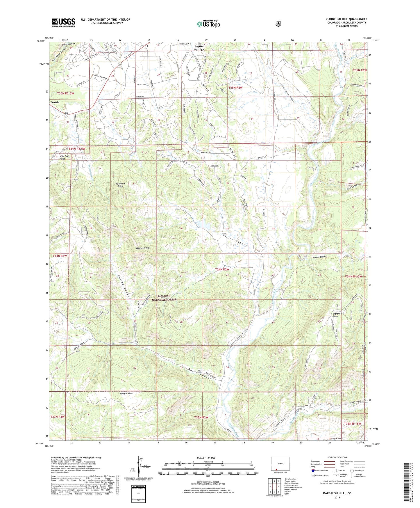
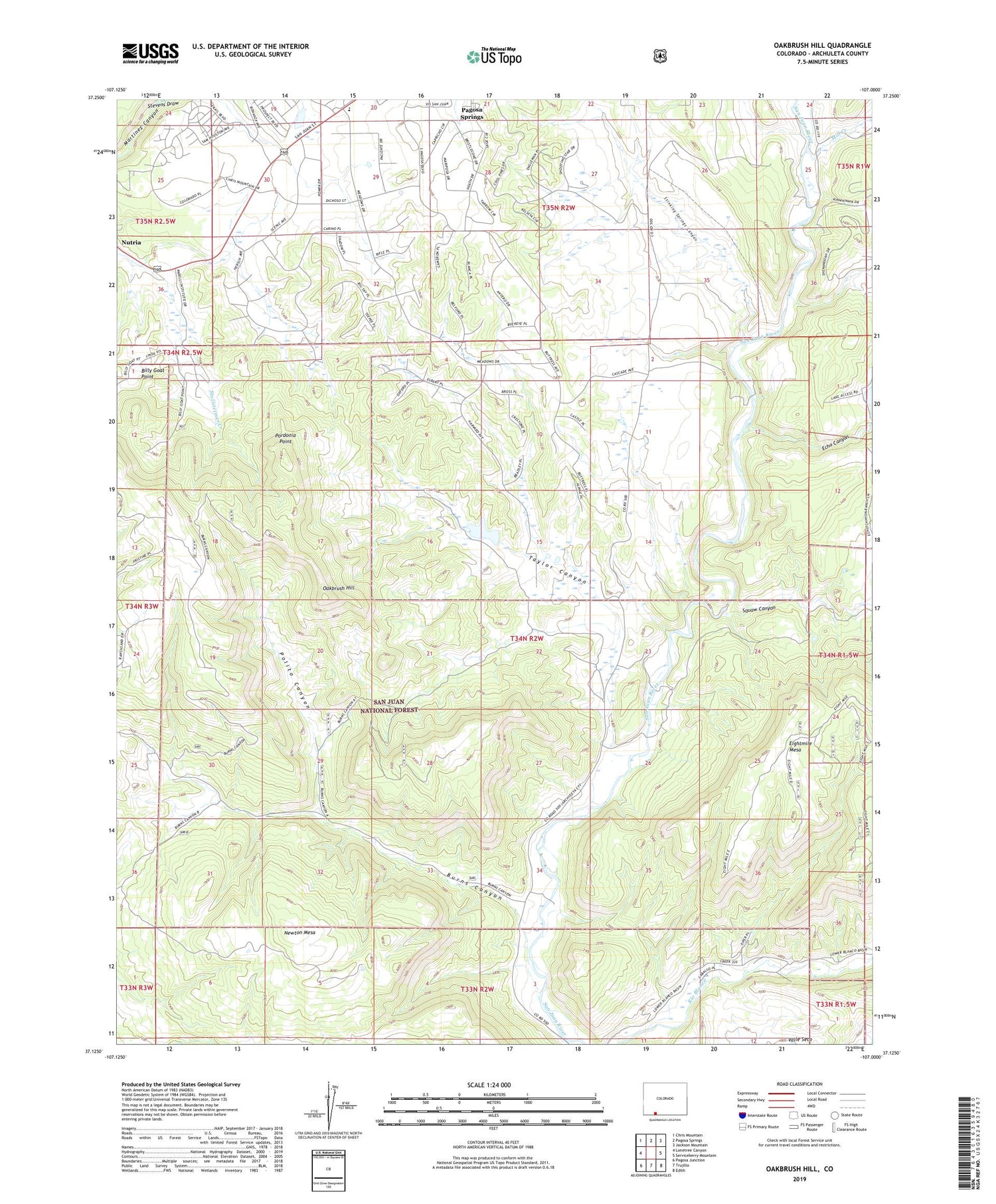
Oakbrush Hill Colorado US Topo Map
Couldn't load pickup availability
Also explore the Oakbrush Hill Forest Service Topo of this same quad for updated USFS data
2023 topographic map quadrangle Oakbrush Hill in the state of Colorado. Scale: 1:24000. Based on the newly updated USGS 7.5' US Topo map series, this map is in the following counties: Archuleta. The map contains contour data, water features, and other items you are used to seeing on USGS maps, but also has updated roads and other features. This is the next generation of topographic maps. Printed on high-quality waterproof paper with UV fade-resistant inks.
Quads adjacent to this one:
West: Lonetree Canyon
Northwest: Chris Mountain
North: Pagosa Springs
Northeast: Jackson Mountain
East: Serviceberry Mountain
Southeast: Edith
South: Trujillo
Southwest: Pagosa Junction
This map covers the same area as the classic USGS quad with code o37107b1.
Contains the following named places: Archuleta County, Billy Goat Point, Burns Canyon, Echo Canyon, Echo Canyon Dam, KRQS-FM (Pagosa Springs), La Plata Powerplant, Mill Creek, Newton Mesa, Oakbrush Hill, Polito Canyon, Pordonia Point, Seavy Ranch Mine, Squaw Canyon, Stevens Draw, Stinking Springs Canyon, Taylor Canyon, Vista Lake