
MyTopo
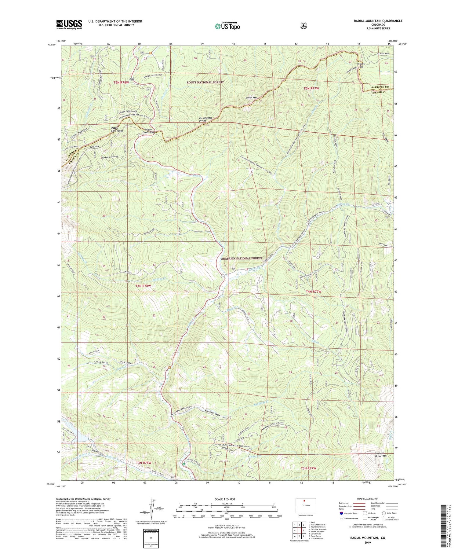
Radial Mountain Colorado US Topo Map
Couldn't load pickup availability
Also explore the Radial Mountain Forest Service Topo of this same quad for updated USFS data
2022 topographic map quadrangle Radial Mountain in the state of Colorado. Scale: 1:24000. Based on the newly updated USGS 7.5' US Topo map series, this map is in the following counties: Grand, Jackson. The map contains contour data, water features, and other items you are used to seeing on USGS maps, but also has updated roads and other features. This is the next generation of topographic maps. Printed on high-quality waterproof paper with UV fade-resistant inks.
Quads adjacent to this one:
West: Parkview Mountain
Northwest: Rand
North: Jack Creek Ranch
Northeast: Mount Richthofen
East: Bowen Mountain
Southeast: Trail Mountain
South: Cabin Creek
Southwest: Corral Peaks
This map covers the same area as the classic USGS quad with code o40106c1.
Contains the following named places: Big Dike Lode, Bill Creek Trail, Bronco Creek, Denver Creek, Denver Creek Campground, Elk Creek, Gilsonite Guard Station, Illinois Pass, Kauffman Creek, Little Gravel Mountain, Little King Ranch Dam, Little King Ranch Reservoir, Mulstay Creek, Pass Creek, Radial Mountain, Road Camp, South Fork Buffalo Creek, Trail Creek, Trail Creek Campground, Trout Creek, Willow Creek Pass, Willow Pass Trail


