MyTopo
Rand Colorado US Topo Map
Couldn't load pickup availability
Also explore the Rand Forest Service Topo of this same quad for updated USFS data
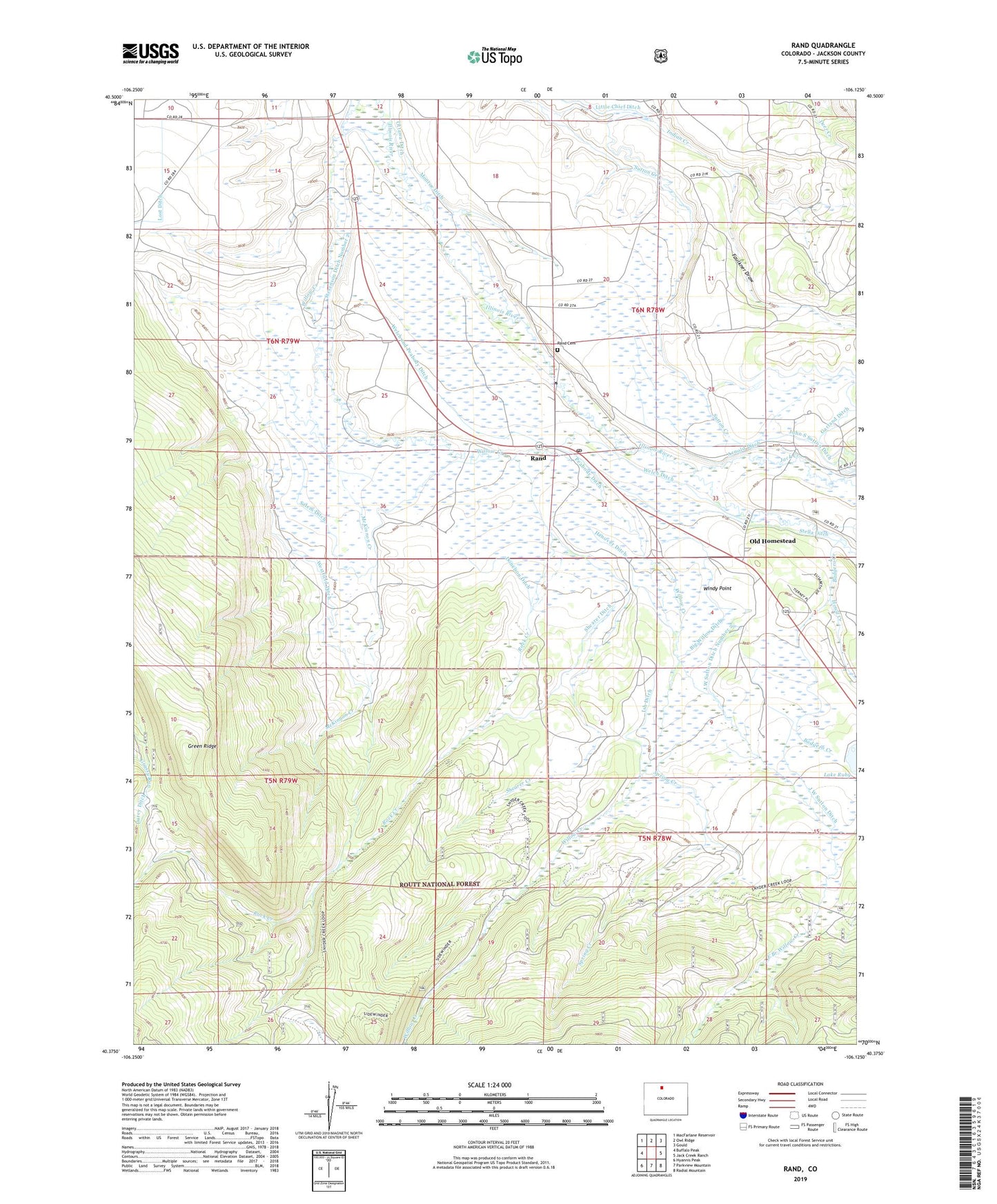
2022 topographic map quadrangle Rand in the state of Colorado. Scale: 1:24000. Based on the newly updated USGS 7.5' US Topo map series, this map is in the following counties: Jackson. The map contains contour data, water features, and other items you are used to seeing on USGS maps, but also has updated roads and other features. This is the next generation of topographic maps. Printed on high-quality waterproof paper with UV fade-resistant inks.
Quads adjacent to this one:
West: Buffalo Peak
Northwest: MacFarlane Reservoir
North: Owl Ridge
Northeast: Gould
East: Jack Creek Ranch
Southeast: Radial Mountain
South: Parkview Mountain
Southwest: Hyannis Peak
This map covers the same area as the classic USGS quad with code o40106d2.
Contains the following named places: Arnold Ditch, Badgero Creek, Big Willow Ditch, Brown Ranch, Darcy Ditch, Donelson Ditch, Donelson Ranch, East Branch Willow Creek, Faulkner Draw, Fuqua Ranch, Green Ridge, Hanover Ditch, Haystack Trail, Hills Ranch, Howard Place, Howd Creek, Ish Ditch, J W Sutton Ditch, J W Sutton Ditch Number 2, Jack Creek, John S Sutton Ditch, Last Chance Ditch, Little Chief Ditch, Lost Ditch, Mac Farlane Extension, McKinnon Creek, Monroe Ditch, Old Homestead, Ottawa Ditch, Owl Ridge Heliport, Peabody Ditch, Rand, Rand Cemetery, Rand Post Office, Rand School, Rock Creek, Rock Creek Trail, Salem Ditch, Shearer Creek, Shearer Ditch, Slew Ditch, Spring Creek, Stella Ditch, Stephens Brothers Ranch, Stevenson Ditch Number 2, Stevenson Ditch Number 4, Sutton Creek, Victor Ditch, Welch and Peabody Ditch, Welch Ditch, Westfield Ditch, Zelma Darcy Ditch, ZIP Code: 80473