MyTopo
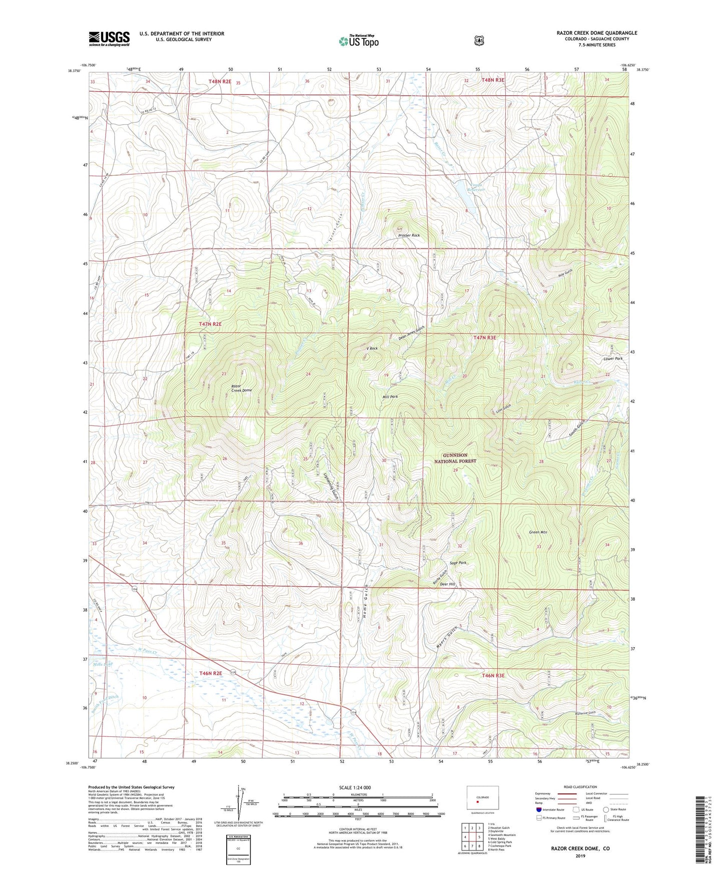
Razor Creek Dome Colorado US Topo Map
Couldn't load pickup availability
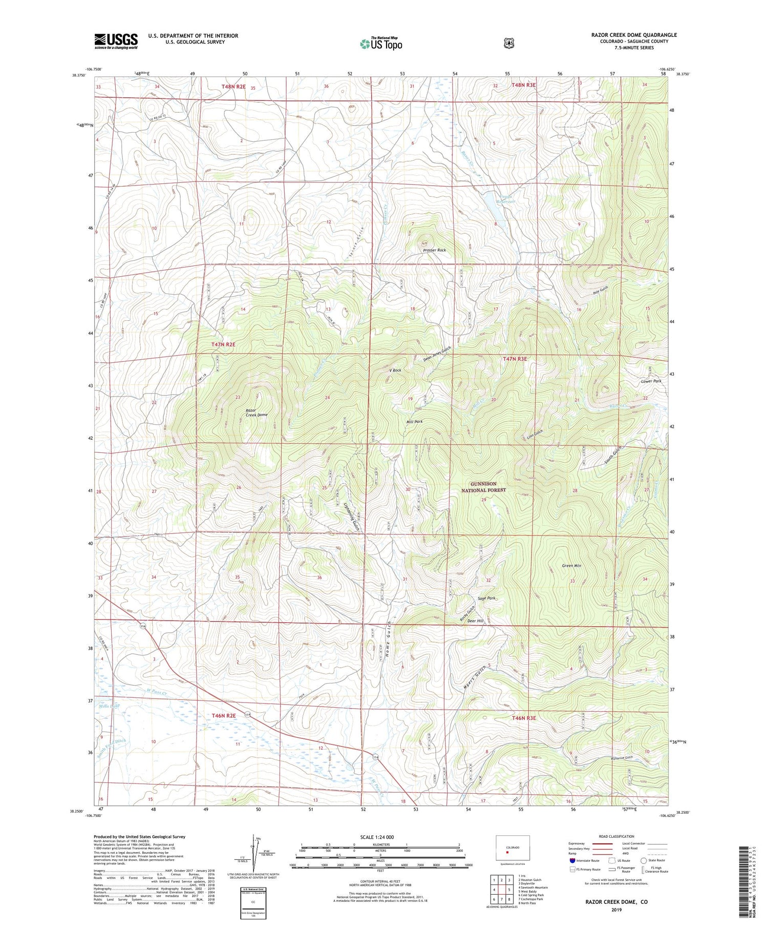
Also explore the Razor Creek Dome Forest Service Topo of this same quad for updated USFS data
2022 topographic map quadrangle Razor Creek Dome in the state of Colorado. Scale: 1:24000. Based on the newly updated USGS 7.5' US Topo map series, this map is in the following counties: Saguache. The map contains contour data, water features, and other items you are used to seeing on USGS maps, but also has updated roads and other features. This is the next generation of topographic maps. Printed on high-quality waterproof paper with UV fade-resistant inks.
Quads adjacent to this one:
West: Sawtooth Mountain
Northwest: Iris
North: Houston Gulch
Northeast: Doyleville
East: West Baldy
Southeast: North Pass
South: Cochetopa Park
Southwest: Cold Spring Park
This map covers the same area as the classic USGS quad with code o38106c6.
Contains the following named places: Dean Jones Gulch, Deer Hill, Flying M Ranch, Gismo Creek, Gould Ranch, Green Mountain, Home Gulch, Indian Creek Bog Iron Mine, Irishmans Dream Mine, Kathy Jo Mine, Lightening Gulch, Lion Gulch, Lost Nueve Mine, Lost Ocho Mine, Mill Creek, Mill Park, Moss Lake, Myers Gulch, Pole Gulch, Prosser Creek, Prosser Rock, Razor Creek Dome, Rocky Gulch, Sage Park, South Gulch, Spruce Gulch, V Rock, Vouga Dam, Vouga Reservoir, West Gismo Creek, West Pass Creek, Wolverine Gulch