MyTopo
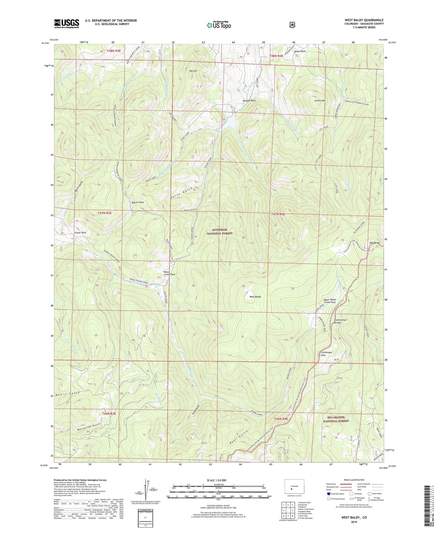
West Baldy Colorado US Topo Map
Couldn't load pickup availability
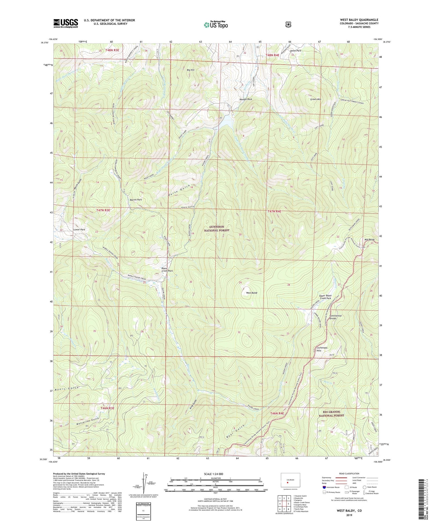
Also explore the West Baldy Forest Service Topo of this same quad for updated USFS data
2022 topographic map quadrangle West Baldy in the state of Colorado. Scale: 1:24000. Based on the newly updated USGS 7.5' US Topo map series, this map is in the following counties: Saguache. The map contains contour data, water features, and other items you are used to seeing on USGS maps, but also has updated roads and other features. This is the next generation of topographic maps. Printed on high-quality waterproof paper with UV fade-resistant inks.
Quads adjacent to this one:
West: Razor Creek Dome
Northwest: Houston Gulch
North: Doyleville
Northeast: Sargents
East: Sargents Mesa
Southeast: Trickle Mountain
South: North Pass
Southwest: Cochetopa Park
This map covers the same area as the classic USGS quad with code o38106c5.
Contains the following named places: Barret Park, Bear Gulch, Big Hill, Deadman Creek, Fence Gulch, Green Mountain, Horse Gulch, Hughes Mine, King Gulch, Left Hand Needle Creek, Lower Park, Middle Baldy, Middle Barret Creek, Needle Creek Reservoir, Needle Dam, Needle Rock, North Gulch, Owen Park, Razor Creek Park, Right Hand Needle Creek, Upper Left Hand Needle Creek, Upper Razor Creek Park, West Baldy