
MyTopo
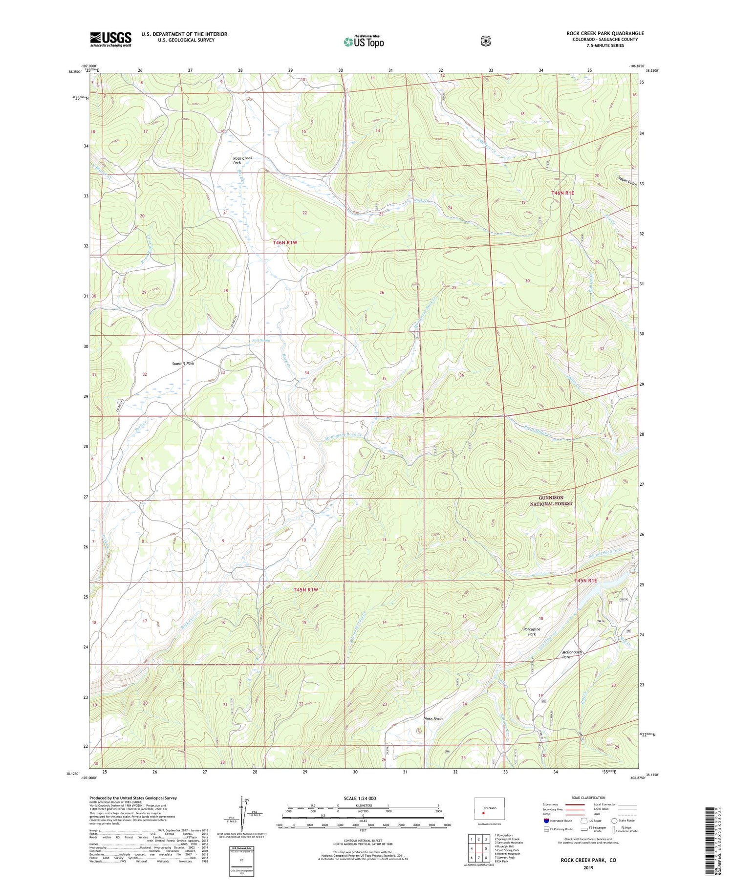
Rock Creek Park Colorado US Topo Map
Couldn't load pickup availability
Also explore the Rock Creek Park Forest Service Topo of this same quad for updated USFS data
2022 topographic map quadrangle Rock Creek Park in the state of Colorado. Scale: 1:24000. Based on the newly updated USGS 7.5' US Topo map series, this map is in the following counties: Saguache. The map contains contour data, water features, and other items you are used to seeing on USGS maps, but also has updated roads and other features. This is the next generation of topographic maps. Printed on high-quality waterproof paper with UV fade-resistant inks.
Quads adjacent to this one:
West: Rudolph Hill
Northwest: Powderhorn
North: Spring Hill Creek
Northeast: Sawtooth Mountain
East: Cold Spring Park
Southeast: Elk Park
South: Stewart Peak
Southwest: Mineral Mountain
This map covers the same area as the classic USGS quad with code o38106b8.
Contains the following named places: Bull Creek, East Spring, Elk Creek, Killdeer Creek, McDonough Park, McDonough Reservoir, Monument Rock Creek, Pinto Basin, Porcupine Park, Road Miller Creek, Rock Creek Cow Camp, Rock Creek Park, Still Creek, Summit Park, Winn Trail


