MyTopo
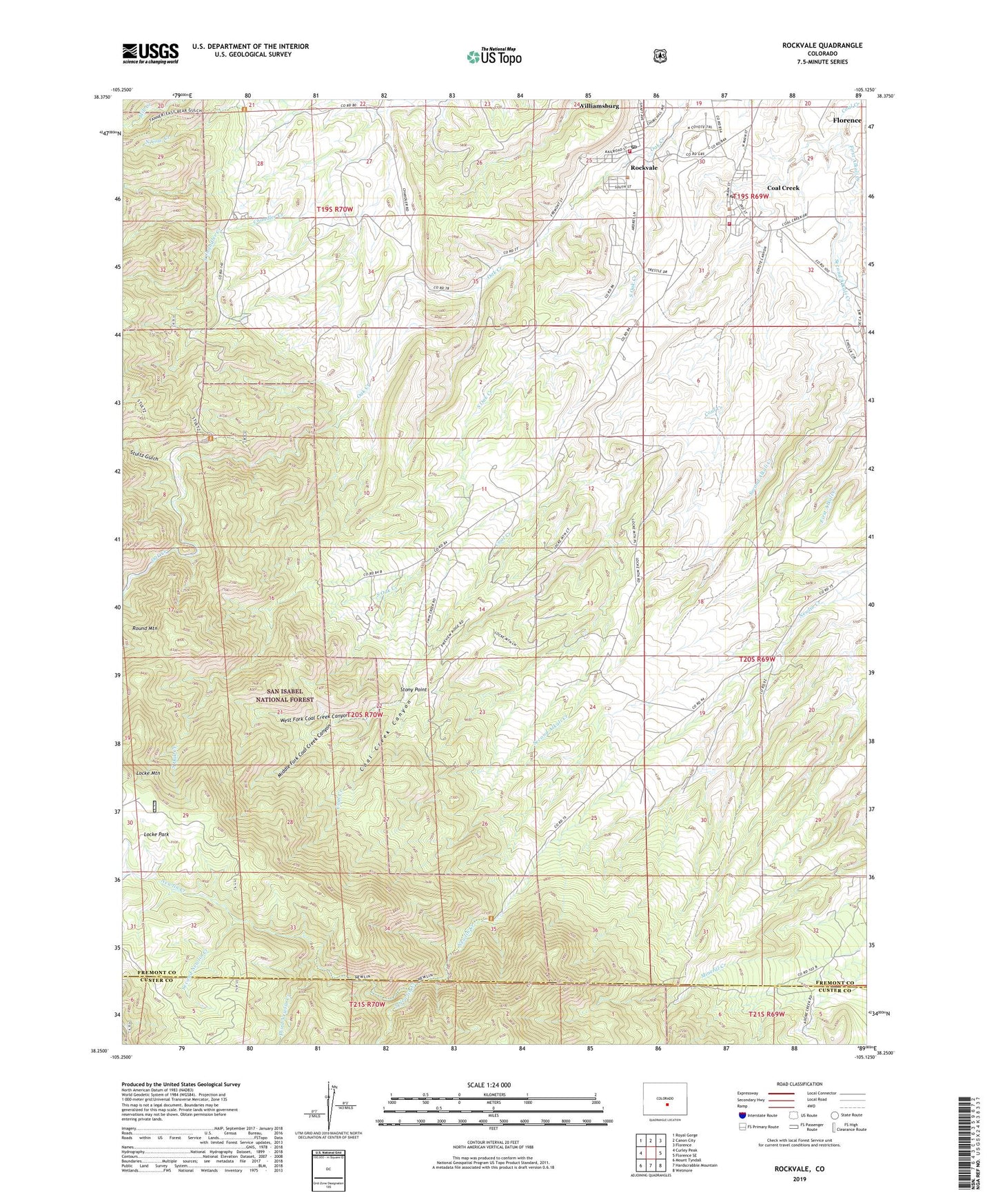
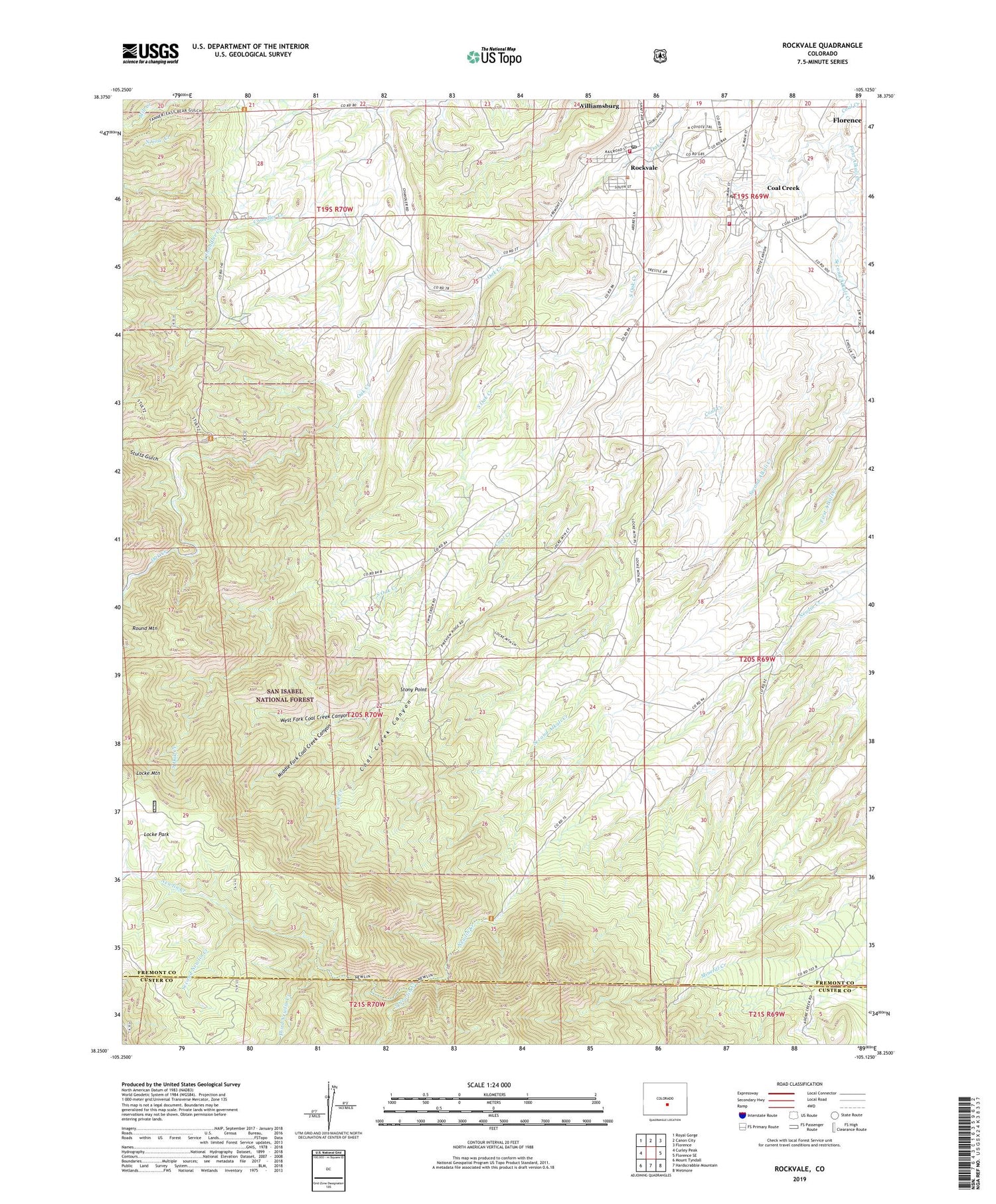
Rockvale Colorado US Topo Map
Couldn't load pickup availability
Also explore the Rockvale Forest Service Topo of this same quad for updated USFS data
2022 topographic map quadrangle Rockvale in the state of Colorado. Scale: 1:24000. Based on the newly updated USGS 7.5' US Topo map series, this map is in the following counties: Fremont, Custer. The map contains contour data, water features, and other items you are used to seeing on USGS maps, but also has updated roads and other features. This is the next generation of topographic maps. Printed on high-quality waterproof paper with UV fade-resistant inks.
Quads adjacent to this one:
West: Curley Peak
Northwest: Royal Gorge
North: Canon City
Northeast: Florence
East: Florence SE
Southeast: Wetmore
South: Hardscrabble Mountain
Southwest: Mount Tyndall
This map covers the same area as the classic USGS quad with code o38105c2.
Contains the following named places: Bassick Mine, Beacon Mine, Bentley Pegmatite Mine, Black Diamond Mine, Black Hawk Quarry, Black Knight Claypit, Black Knight Mine, Caldirola Number 1 Mine, Caldirola Number 2 Mine, Caldirola Pit, Canon Chief Mine, Canon Imperial Mine, Canon Liberty Mine, Canon Monarch Mine, Canon National Mine, Canon Peacock Mine, Canon Shamrock Mine, Canon Zenith Mine, Carson Mine, Cedar Canon Mine, Chandler, Coal Creek, Coal Creek Canyon, Coal Creek Canyon Mine, Coal Creek Number 2 Mine, Coal Creek Post Office, Corley Number 6 Mine, Dilley Ranch Mine, Dorchester Number One Mine, Double Dick Mines, First Alkali Creek, Florence Division, Florence Fire Protection District - Station 3 Rockvale, Florence Fire Protection District - Station 4 Coal Creek, Golden Quality Number Five Mine, Grape Creek Mine, Grey Creek Mine, Kenwood Mine, Last Hope Claims, Locke Park, Manley Mine, Middle Fork Coal Creek Canyon, Mill Creek, Miller Mine, Monarch Number 4 Mine, North Cow Creek, Oak Creek Grade Prospect, Pine Gulch Mines, Radiant Camp, Radiant Mine, Rawley Mines, Red Carbon Mine, Rex Carbon Mine, Rockafellow Mine, Rockvale, Rockvale Mine, Rockvale Post Office, Second Alkali Creek, Second Newlin Creek, Serpent Prospect, Shaw Opening Mine, Sheeley Trail, Smith Mine, South Chandler Creek, South Field Area, South Newlin Creek, South Oak Creek, Southfield Cherokee Mine, Stony Point, Stultz Gulch, Third Newlin Creek, Town of Coal Creek, Town of Rockvale, Twin Pines Mine, Venta Mine, West Fork Coal Creek Canyon, ZIP Codes: 81221, 81226, 81244


