
MyTopo
Curley Peak Colorado US Topo Map
Couldn't load pickup availability
Also explore the Curley Peak Forest Service Topo of this same quad for updated USFS data
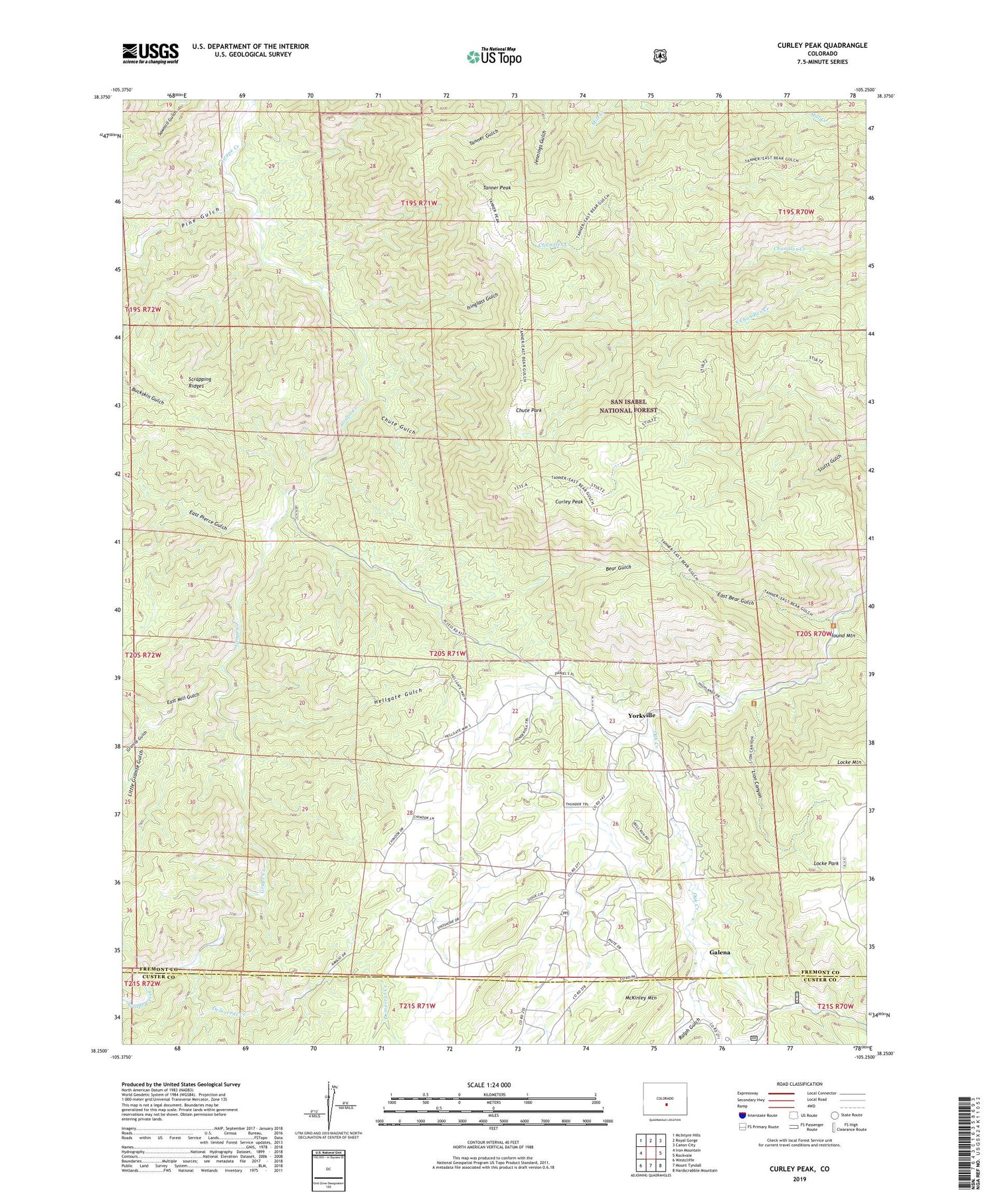
2022 topographic map quadrangle Curley Peak in the state of Colorado. Scale: 1:24000. Based on the newly updated USGS 7.5' US Topo map series, this map is in the following counties: Fremont, Custer. The map contains contour data, water features, and other items you are used to seeing on USGS maps, but also has updated roads and other features. This is the next generation of topographic maps. Printed on high-quality waterproof paper with UV fade-resistant inks.
Quads adjacent to this one:
West: Iron Mountain
Northwest: McIntyre Hills
North: Royal Gorge
Northeast: Canon City
East: Rockvale
Southeast: Hardscrabble Mountain
South: Mount Tyndall
Southwest: Westcliffe
This map covers the same area as the classic USGS quad with code o38105c3.
Contains the following named places: A Griffin Ranch Mine, Bear Gulch, Big Chief One Mine, Big Mac Group One-three Mines, Chute Gulch, Chute Park, Curley Peak, Deer Ridge Claim, Democrat Creek, East Bear Gulch, East Mill Gulch, East Pierce Gulch, Galena, Granite Gulch, Griffin Ranch, Hellgate Gulch, Highline Trail, Isinglass Gulch, Lion Canyon, Little Granite Gulch, Locke Mountain, Oak Creek Campground, Oak Creek Picnic Grounds, Payne Ranch, Pine Gulch, Ralph Gulch, Scrapping Ridges, Stultz Trail, Tanner Peak, Tanner Trail, Yorkville


