MyTopo
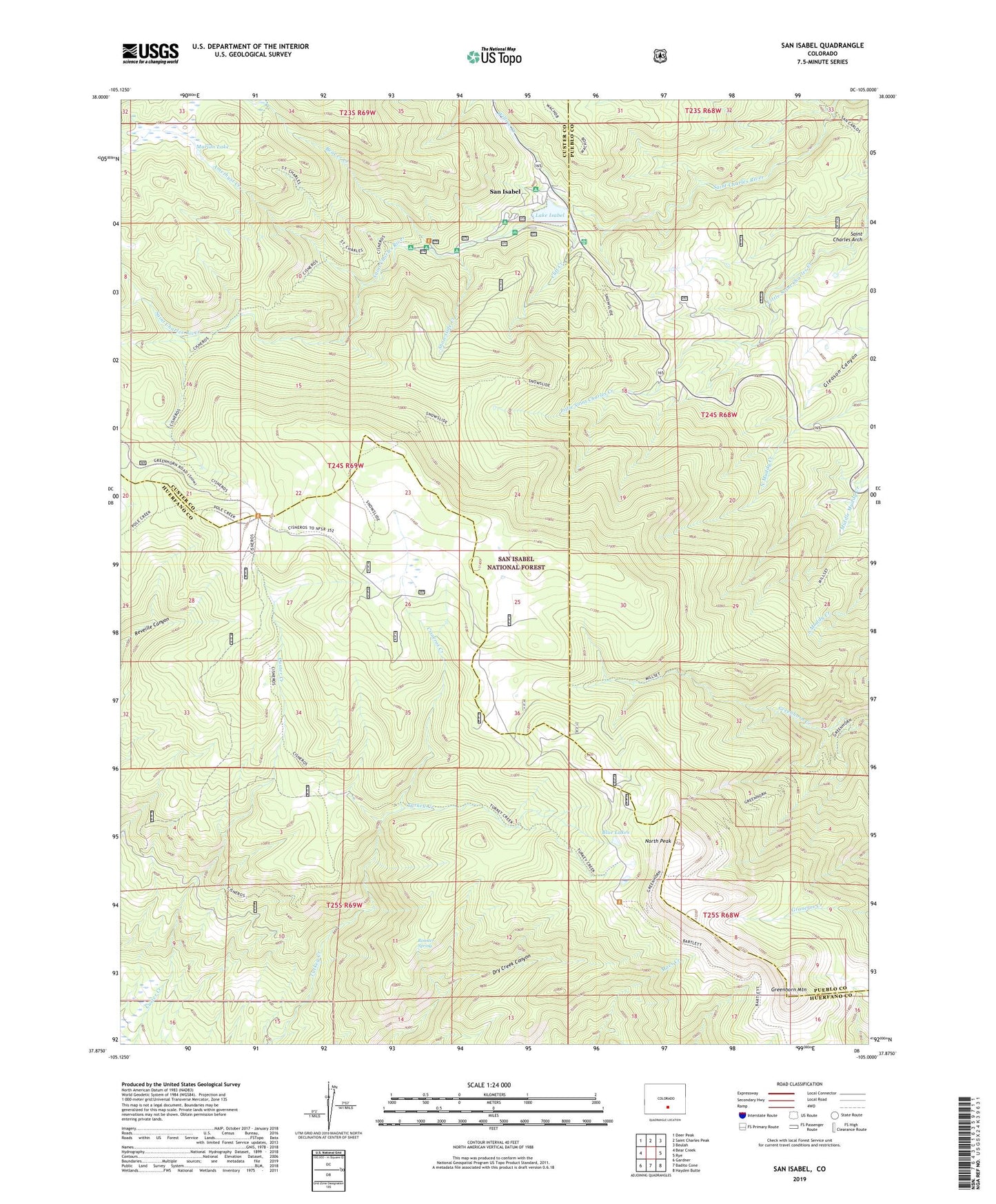
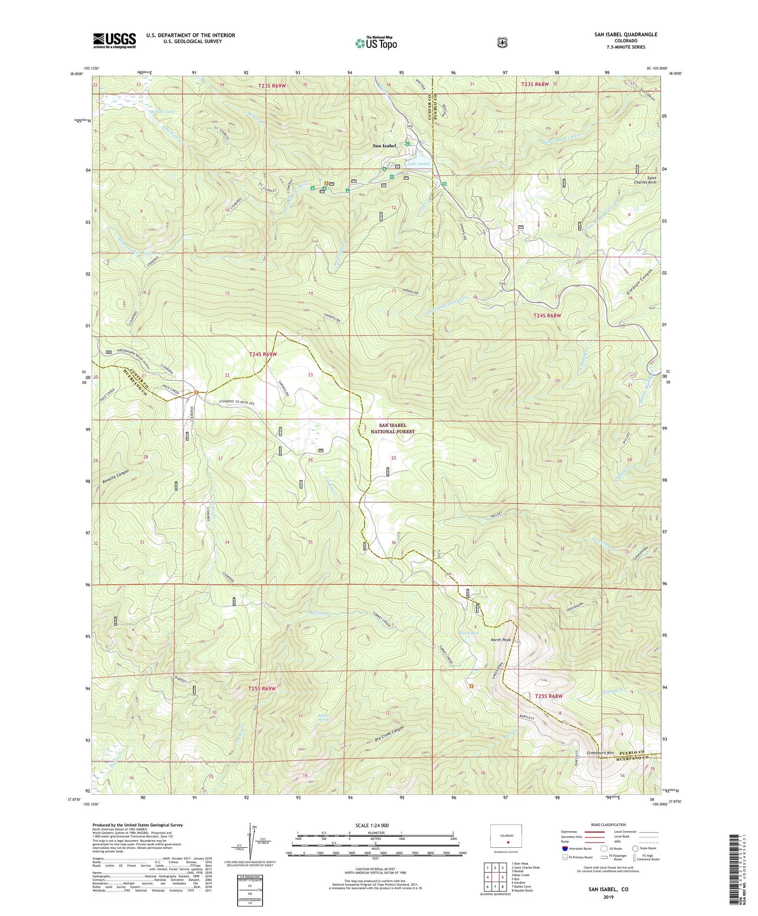
San Isabel Colorado US Topo Map
Couldn't load pickup availability
Also explore the San Isabel Forest Service Topo of this same quad for updated USFS data
2022 topographic map quadrangle San Isabel in the state of Colorado. Scale: 1:24000. Based on the newly updated USGS 7.5' US Topo map series, this map is in the following counties: Custer, Huerfano, Pueblo. The map contains contour data, water features, and other items you are used to seeing on USGS maps, but also has updated roads and other features. This is the next generation of topographic maps. Printed on high-quality waterproof paper with UV fade-resistant inks.
Quads adjacent to this one:
West: Bear Creek
Northwest: Deer Peak
North: Saint Charles Peak
Northeast: Beulah
East: Rye
Southeast: Hayden Butte
South: Badito Cone
Southwest: Gardner
This map covers the same area as the classic USGS quad with code o37105h1.
Contains the following named places: Amethyst Creek, Beaver Creek, Blue Lakes, Camp Crockett, Camp Crockett Trail, Cisneros Creek, Cisneros Trail, Cliff Creek, Graham Memorial Park, Greenhorn Mountain, Greenhorn Trail, Lake Isabel, Lake Isabel Guard Station, Lake Isabel Recreation Area, Lazy Acres Camp, Marion Lake, Marion Mines, North Peak, Rooster Spring, Saint Charles Arch, San Carlos Trail, San Isabel, San Isabel Deposit, Snowslide Creek, Snowslide Trail, Victory Claim, Willis Creek, Willow Creek