MyTopo
Valley View School Colorado US Topo Map
Couldn't load pickup availability
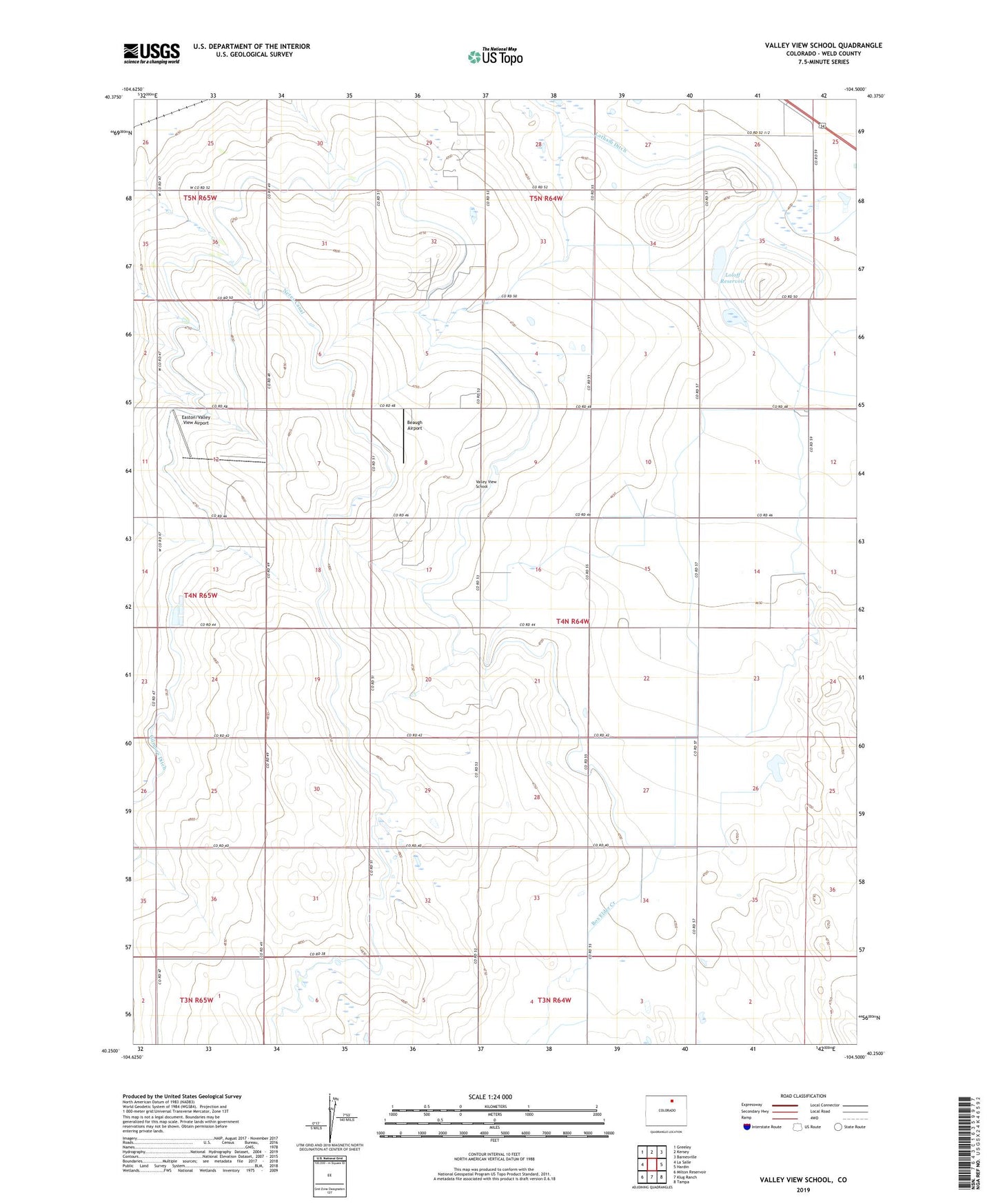
2022 topographic map quadrangle Valley View School in the state of Colorado. Scale: 1:24000. Based on the newly updated USGS 7.5' US Topo map series, this map is in the following counties: Weld. The map contains contour data, water features, and other items you are used to seeing on USGS maps, but also has updated roads and other features. This is the next generation of topographic maps. Printed on high-quality waterproof paper with UV fade-resistant inks.
Quads adjacent to this one:
West: La Salle
Northwest: Greeley
North: Kersey
Northeast: Barnesville
East: Hardin
Southeast: Tampa
South: Klug Ranch
Southwest: Milton Reservoir
This map covers the same area as the classic USGS quad with code o40104c5.
Contains the following named places: Bohlender Mine, Branchs Heliport, Buddy Mine, Casselman Mine, Christenson Mine, Devoe Airport, Diamond Mine, Easton/Valley View Airport, Gilmore Ditch, Hanscome Dairy, Loloff Reservoir, Sunset Mine, Valley View School, White Ash Mine