MyTopo
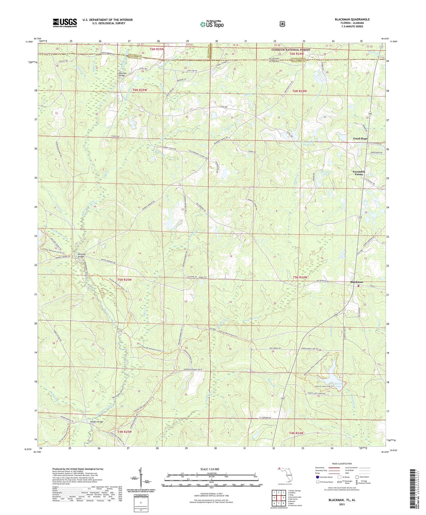
Blackman Florida US Topo Map
Couldn't load pickup availability
Also explore the Blackman Forest Service Topo of this same quad for updated USFS data
2024 topographic map quadrangle Blackman in the state of Florida. Scale: 1:24000. Based on the newly updated USGS 7.5' US Topo map series, this map is in the following counties: Okaloosa, Covington, Escambia. The map contains contour data, water features, and other items you are used to seeing on USGS maps, but also has updated roads and other features. This is the next generation of topographic maps. Printed on high-quality waterproof paper with UV fade-resistant inks.
Quads adjacent to this one:
West: Hurricane Lake
Northwest: Parker Springs
North: Bradley
Northeast: Wing
East: Oak Grove
Southeast: Crestview North
South: Baker
Southwest: Munson
This map covers the same area as the classic USGS quad with code o30086h6.
Contains the following named places: Alligator Branch, Barrel Branch, Bee Branch, Blackman, Blackman Volunteer Fire Department, Boggy Hollow Creek, Bull Branch, Bull Pen Branch, Cow Pen Branch, E C Younghood Pond, Escambia Farms, Good Hope, Hurricane Creek, Karick Lake, Kennedy Branch, Kennedy Bridge, Mare Creek, Middle Creek, O G Steele Pond, Oak Creek, Olive Branch, Olive Branch Church, Peaden Bridge, Red Oak Bridge, Red Oak Church, Rock Creek, Sand Hill Lookout Tower, ZIP Code: 32531