MyTopo
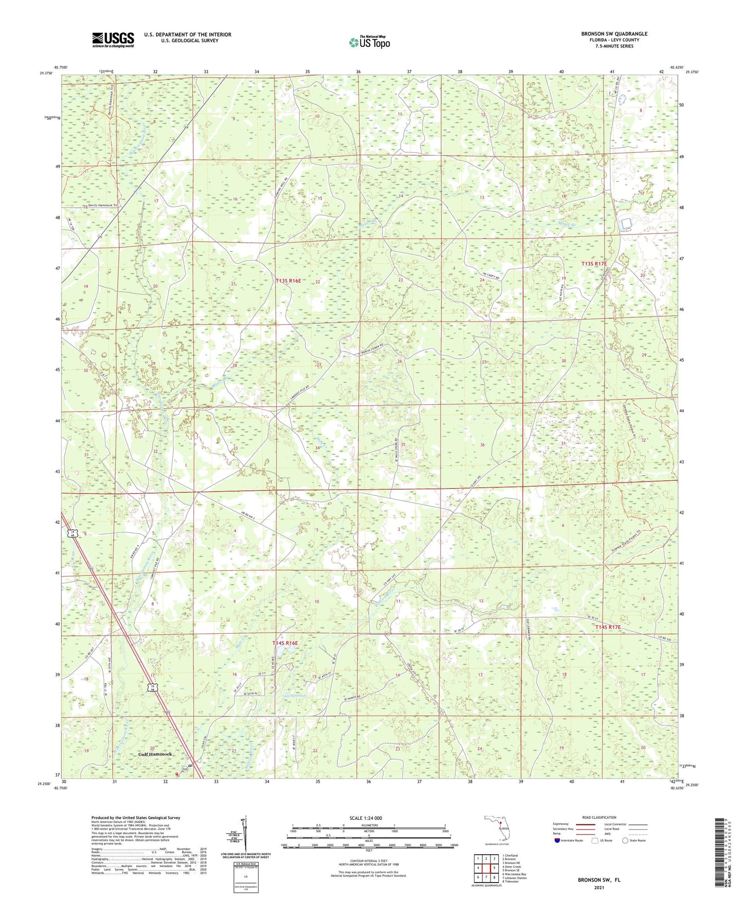
Bronson SW Florida US Topo Map
Couldn't load pickup availability
2024 topographic map quadrangle Bronson SW in the state of Florida. Scale: 1:24000. Based on the newly updated USGS 7.5' US Topo map series, this map is in the following counties: Levy. The map contains contour data, water features, and other items you are used to seeing on USGS maps, but also has updated roads and other features. This is the next generation of topographic maps. Printed on high-quality waterproof paper with UV fade-resistant inks.
Quads adjacent to this one:
West: Otter Creek
Northwest: Chiefland
North: Bronson
Northeast: Bronson NE
East: Bronson SE
Southeast: Tidewater
South: Lebanon Station
Southwest: Waccasassa Bay
This map covers the same area as the classic USGS quad with code o29082c6.
Contains the following named places: Gulf Hammock, Gulf Hammock Church of God, Gulf Hammock Post Office, Gulf Hammock Volunteer Fire Department, Henry Beck County Park, Magee Branch, Wacca Station