MyTopo
Lebanon Station Florida US Topo Map
Couldn't load pickup availability
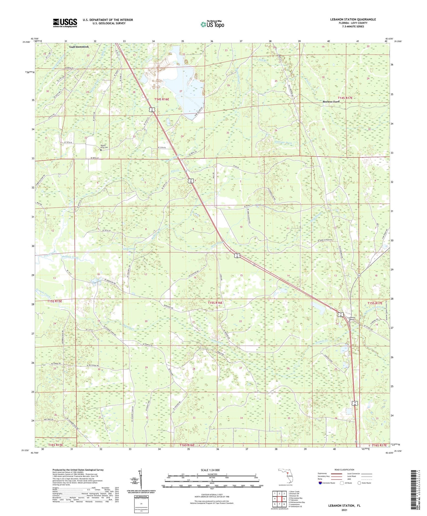
2024 topographic map quadrangle Lebanon Station in the state of Florida. Scale: 1:24000. Based on the newly updated USGS 7.5' US Topo map series, this map is in the following counties: Levy. The map contains contour data, water features, and other items you are used to seeing on USGS maps, but also has updated roads and other features. This is the next generation of topographic maps. Printed on high-quality waterproof paper with UV fade-resistant inks.
Quads adjacent to this one:
West: Waccasassa Bay
Northwest: Otter Creek
North: Bronson SW
Northeast: Bronson SE
East: Tidewater
Southeast: Yankeetown SE
South: Yankeetown
Southwest: Withlacoochee Bay
This map covers the same area as the classic USGS quad with code o29082b6.
Contains the following named places: Beetree Ford, Bullfrog Creek, Cabbage Drain, Calf Branch, Camp B, Camp C, Gulf Hammock Church, Gunn Landing, Horse Hole Creek, Lebanon Forestry Site Tower, Lebanon Station, Mount Erie Cemetery, Mount Erie Church, Mount Moriah Church, Mule Creek, North Prong Tenmile Creek, Old Plantation Landing, Peeks Landing, Porter Slough, ZIP Code: 32639