MyTopo
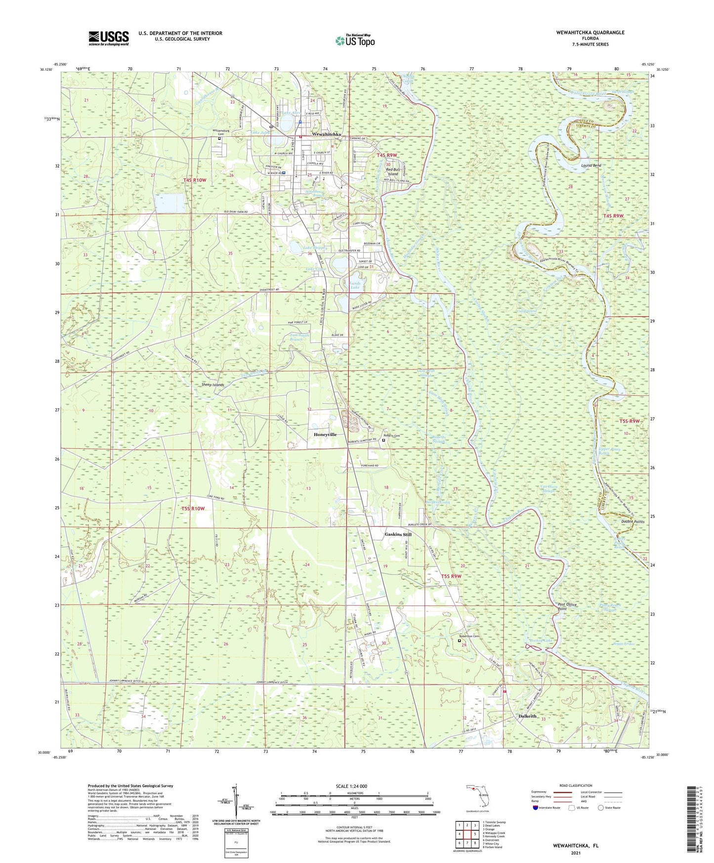
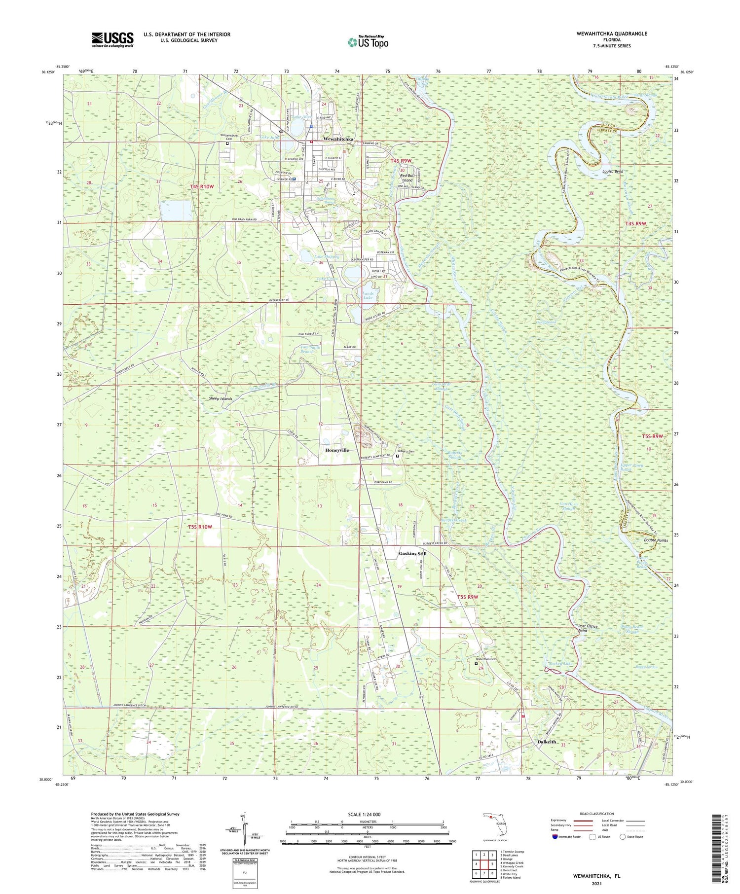
Wewahitchka Florida US Topo Map
Couldn't load pickup availability
2024 topographic map quadrangle Wewahitchka in the state of Florida. Scale: 1:24000. Based on the newly updated USGS 7.5' US Topo map series, this map is in the following counties: Gulf, Liberty. The map contains contour data, water features, and other items you are used to seeing on USGS maps, but also has updated roads and other features. This is the next generation of topographic maps. Printed on high-quality waterproof paper with UV fade-resistant inks.
Quads adjacent to this one:
West: Wetappo Creek
Northwest: Tenmile Swamp
North: Dead Lakes
Northeast: Orange
East: Kennedy Creek
Southeast: Forbes Island
South: White City
Southwest: Overstreet
This map covers the same area as the classic USGS quad with code o30085a2.
Contains the following named places: Boggy Jordan, Bryants Landing, Burgess Creek, Burgess Landing, Church of Christ, City of Wewahitchka, Cochran Landing, Cochran Slough, Corley Slough, Cutoff Island, Dalkeith, Dalkeith Church, Dalkeith Fire Department, Double Points, Douglas Landing, First United Pentecostal Church, Gaskins Still, Grayson Slough, Gulf County Sheriff's Office, Gum Drift Slough, Honeyville, Lake Alice, Lake Coma, Lake Grove, Lake Julia, Lake Shippey, Lands Lake, Listers Landing, Lockey Lake, Louisa Bend, Magnolia Slough, Moccasin Slough, Piney Reach Slough, Post Office Point, Red Bull Island, River Styx, Roberts Cemetery, Roberts Slough, Robertson Cemetery, Saint Lawrence Church, Schoolhouse Branch, Sheep Islands, T L James Park, Tom Smith Branch, Upper Piney Reach, Van Horn Slough, Virginia Cut, West Side Church, Wewahitchka, Wewahitchka Elementary School, Wewahitchka Emergency Medical Services, Wewahitchka Junior-Senior High School, Wewahitchka Post Office, Whites River, Williamsburg Cemetery, ZIP Code: 32465


