MyTopo
Altamaha SE Georgia US Topo Map
Couldn't load pickup availability
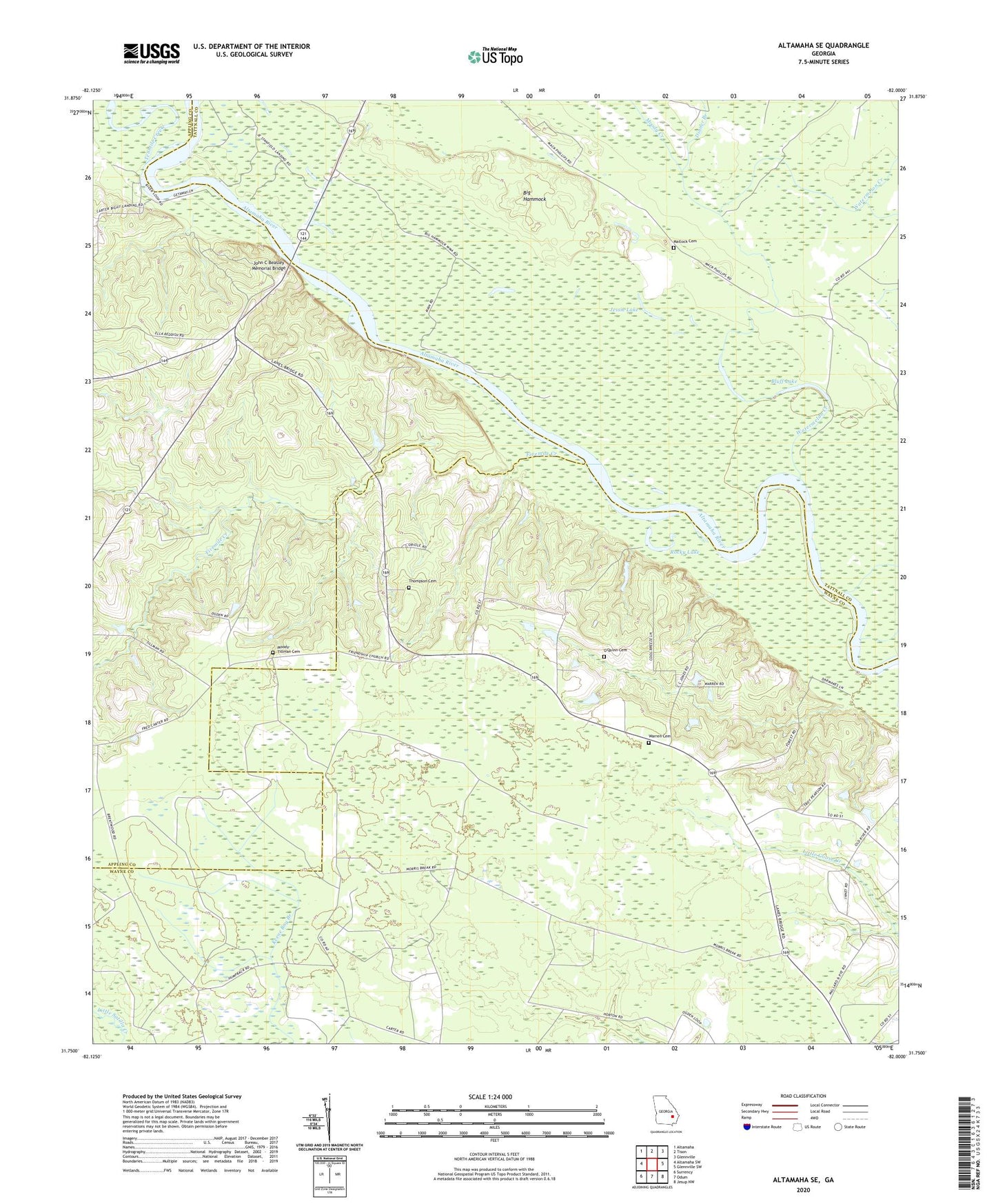
2024 topographic map quadrangle Altamaha SE in the state of Georgia. Scale: 1:24000. Based on the newly updated USGS 7.5' US Topo map series, this map is in the following counties: Wayne, Tattnall, Appling. The map contains contour data, water features, and other items you are used to seeing on USGS maps, but also has updated roads and other features. This is the next generation of topographic maps. Printed on high-quality waterproof paper with UV fade-resistant inks.
Quads adjacent to this one:
West: Altamaha SW
Northwest: Altamaha
North: Tison
Northeast: Glennville
East: Glennville SW
Southeast: Jesup NW
South: Odum
Southwest: Surrency
This map covers the same area as the classic USGS quad with code o31082g1.
Contains the following named places: Big Hammock, Big Hammock State National Recreation Area, Blantons Chapel, Bluff Lake, Carters Bight Landing, Dinner Branch, Fivemile Creek, Friendship Church, Jessie Lake, John C Beasley Memorial Bridge, Lower Sister Bluff Landing, Matlock Cemetery, Moody - Tillman Cemetery, Moody Creek, New Hope Church, O'Quinn Cemetery, Rocky Lake, Staffords Ferry, Tenmile Creek, Thompson Cemetery, Warren Cemetery, Watermelon Creek