MyTopo
Bancroft Georgia US Topo Map
Couldn't load pickup availability
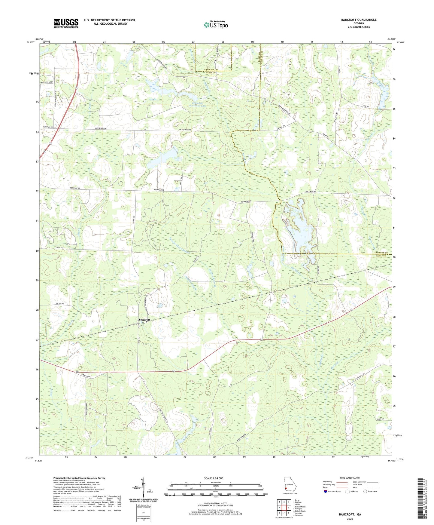
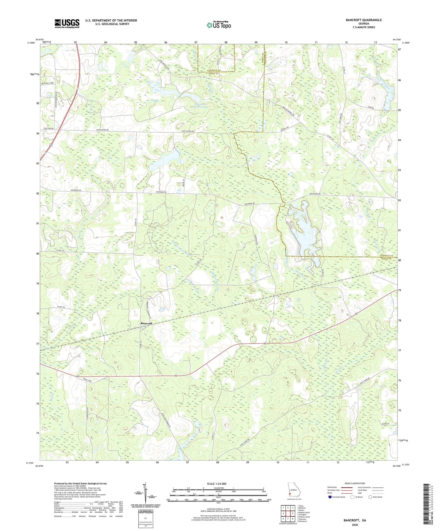
2024 topographic map quadrangle Bancroft in the state of Georgia. Scale: 1:24000. Based on the newly updated USGS 7.5' US Topo map series, this map is in the following counties: Early, Calhoun. The map contains contour data, water features, and other items you are used to seeing on USGS maps, but also has updated roads and other features. This is the next generation of topographic maps. Printed on high-quality waterproof paper with UV fade-resistant inks.
Quads adjacent to this one:
West: Blakely North
Northwest: Zetto
North: Bluffton
Northeast: Edison
East: Arlington
Southeast: Damascus
South: Hentown
Southwest: Blakely South
This map covers the same area as the classic USGS quad with code o31084d7.
Contains the following named places: Arms of Faith Missionary Baptist Church, Arms of Faith Missionary Baptist Church Cemetery, Bancroft, Christ Missionary Baptist Church Cemetery, Christ Missionary Church, Dixie Cemetery, Hattaways Gin, Kolomoki Plantation Lake, Kolomoki Plantation Lake Dam, Lee Branch, Matt Gilbert Cemetery, Mulligan Branch, Number Five Branch, Number Seven Branch, Perry Creek, Ralph Balkcom Dam, Rosinvick Church, Rosinvick Freewill Baptist Church Cemetery, Spring Creek School