MyTopo
Cow Hell Swamp Georgia US Topo Map
Couldn't load pickup availability
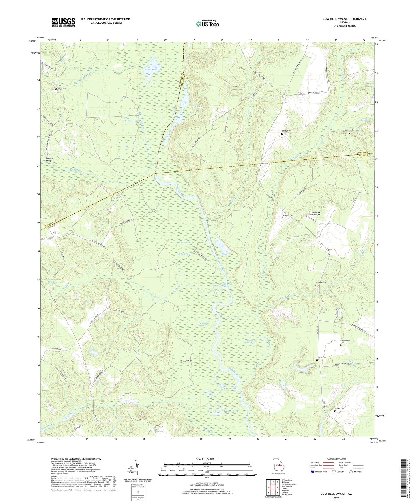
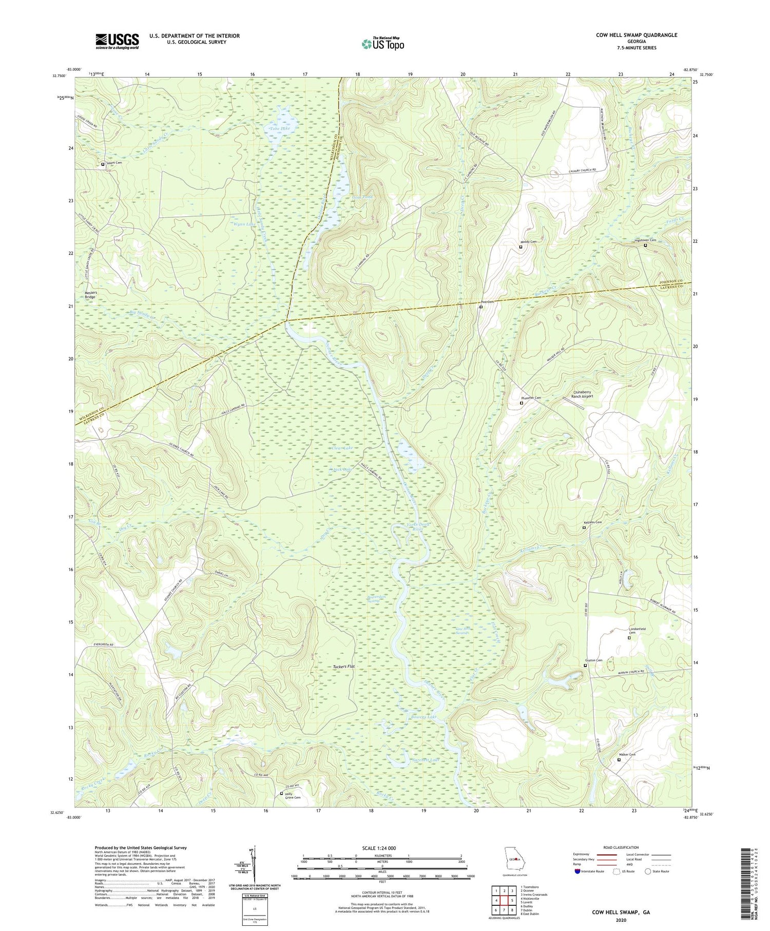
2024 topographic map quadrangle Cow Hell Swamp in the state of Georgia. Scale: 1:24000. Based on the newly updated USGS 7.5' US Topo map series, this map is in the following counties: Laurens, Johnson, Wilkinson. The map contains contour data, water features, and other items you are used to seeing on USGS maps, but also has updated roads and other features. This is the next generation of topographic maps. Printed on high-quality waterproof paper with UV fade-resistant inks.
Quads adjacent to this one:
West: Nicklesville
Northwest: Toomsboro
North: Oconee
Northeast: Irwins Crossroads
East: Lovett
Southeast: East Dublin
South: Dublin
Southwest: Dudley
This map covers the same area as the classic USGS quad with code o32082f8.
Contains the following named places: Beaverdam Swamp, Big Sandy Creek, Bowens Lake, Buckeye Creek, Chinaberry Ranch Airport, Clear Lake, Cow Hell Swamp, Cullen Grove Church, Cullens Store, Deep Creek, Deep Creek Landing, Dry Creek, Evergreen Church, Evergreen Methodist Cemetery, Flat Creek, Fords Creek, Gin Branch, Goat Pond, Goose Creek, Guyton Cemetery, Hall Landing, Halls Landing, Herberts Chapel, Hightower Cemetery, Holly Grove Cemetery, Holly Springs Church, Jack Lake, Kellams Cemetery, Kellams Creek, Little Sandy Creek, Londonfield Cemetery, Messers Bridge, Moody Cemetery, Old Evergreen School, Plummer Cemetery, Post Cemetery, Salem Cemetery, Salem Church, Sarchett Lake, Tobe Lake, Tuckers Flat, Walker Cemetery, Wynn Lake, Yorks Dead River


