MyTopo
Epworth Georgia US Topo Map
Couldn't load pickup availability
Also explore the Epworth Forest Service Topo of this same quad for updated USFS data
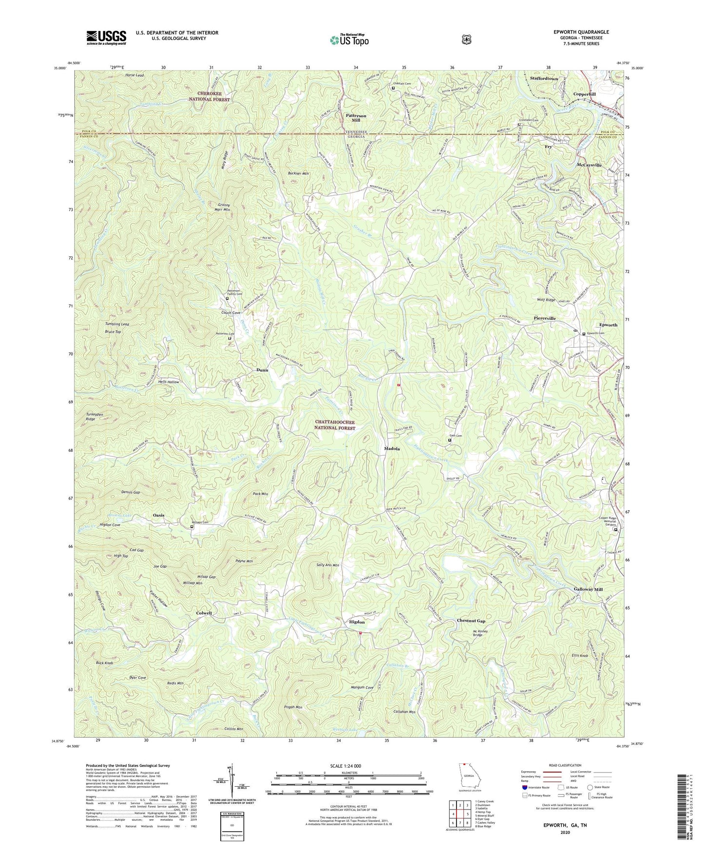
2024 topographic map quadrangle Epworth in the states of Georgia, Tennessee. Scale: 1:24000. Based on the newly updated USGS 7.5' US Topo map series, this map is in the following counties: Fannin, Polk. The map contains contour data, water features, and other items you are used to seeing on USGS maps, but also has updated roads and other features. This is the next generation of topographic maps. Printed on high-quality waterproof paper with UV fade-resistant inks.
Quads adjacent to this one:
West: Hemp Top
Northwest: Caney Creek
North: Ducktown
Northeast: Isabella
East: Mineral Bluff
Southeast: Blue Ridge
South: Cashes Valley
Southwest: Dyer Gap
Contains the following named places: Attala Seminary, Bethel Church, Browns Lake, Browns Lake Dam, Bruce Top, Bryant Prospect, Buck Creek, Buck Knob, Buckner Mountain, Cad, Cad Gap, Callahan Branch, Callahan Mountain, Chastain Cemetery, Chestnut Gap, Colwell, Colwell Church, Cooper Ridge Memorial Gardens, Couch Cove, Crestlawn Cemetery, Damascus Church, Davis Mill Creek, Dennis Gap, Dunn, Dunn Creek, Dunn School, Dyer Cove, Ellis Knob, Epworth, Epworth Cemetery, Epworth Census Designated Place, Epworth Post Office, Epworth School, Epworth Seminary, Epworth United Methodist Church, Fairview Church, Fannin County Fire Department Station 5, Fannin County Fire Department Station 6, Fightingtown Creek, First Baptist Church of Epworth, Five Mile Cove Branch, Foster Hollow, Fry, Galloway Mill, Gass Cemetery, Granny Marr Mountain, Gravelly Gap School, Grusher Branch, Hells Hollow, Higdon, Higdon Cove, High Top, Hipp Chapel, Hipp School, Horse Lead, Jeptha Patterson Prospect, Joe Gap, Johnson Ford, Jonestown, Kellogg Prospect, Kingtown, Kingtown Branch, Lebanon Church, Lebanon School, Lickskillet, Little Fightingtown Creek, Macedonia Church, Madola, Madola Mill Creek, Mangum Cove, Mary Ridge, Mc Kinney Bridge, McClure Creek, Millsap Church, Millsap Mountain, Millsaps Cemetery, Milsap Gap, Mine Number 20, Mobile, Mobile Baptist Church, Mobile Mine, Mobile School, Mount Agony Church, Mount Harmony Church, Mount Liberty Church, Mount Moriah Church, Mount Moriah School, Mount Pisgah Prospect, Mountain View Church, Oasis, Pack Creek, Pack Mountain, Patterson Cemetery, Patterson Creek, Patterson Family Cemetery, Patterson Mill, Payne Mountain, Payne Prospect, Payne School, Phillips Cove, Pierceville, Pisgah Mountain, Redis Mountain, Ritchie Church, Ritchie Creek, Ritchie School, Sally Ann Mountain, Sally Jane Prospect, Shady Grove Church, Sholer Branch, Silvermine Creek, Staffordtown, Tanner Prospect, Tumbling Lead, Turkeypen Ridge, Watson Creek, Weehunt Lake, Wehunt Lake Dam, West Fannin Elementary School, WLSB-AM (Copperhill), Wolf Ridge, ZIP Code: 30555


