MyTopo
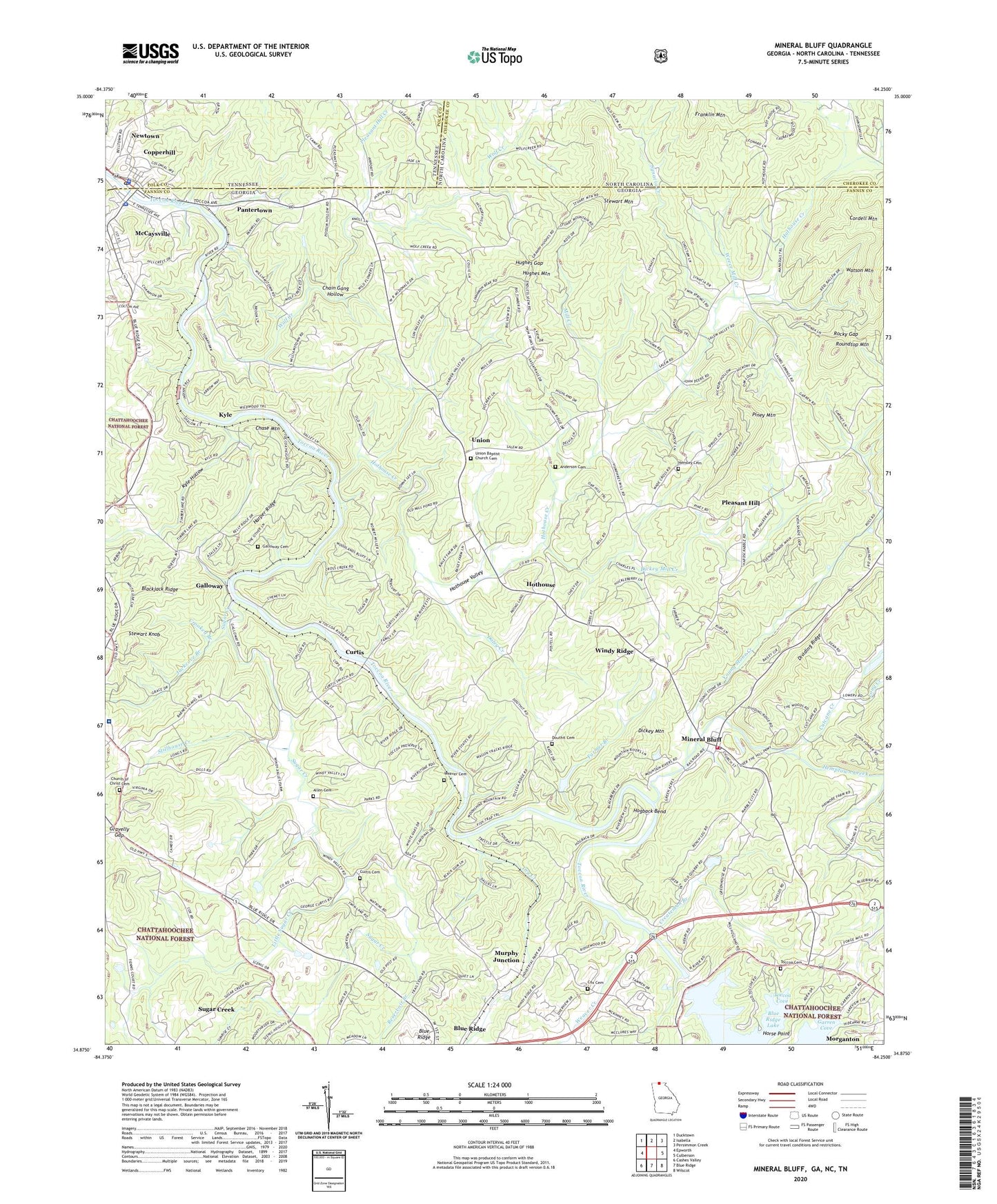
Mineral Bluff Georgia US Topo Map
Couldn't load pickup availability
Also explore the Mineral Bluff Forest Service Topo of this same quad for updated USFS data
2024 topographic map quadrangle Mineral Bluff in the states of Georgia, North Carolina, Tennessee. Scale: 1:24000. Based on the newly updated USGS 7.5' US Topo map series, this map is in the following counties: Fannin, Cherokee, Polk. The map contains contour data, water features, and other items you are used to seeing on USGS maps, but also has updated roads and other features. This is the next generation of topographic maps. Printed on high-quality waterproof paper with UV fade-resistant inks.
Quads adjacent to this one:
West: Epworth
Northwest: Ducktown
North: Isabella
Northeast: Persimmon Creek
East: Culberson
Southeast: Wilscot
South: Blue Ridge
Southwest: Cashes Valley
Contains the following named places: Allen Cemetery, Alsobrook School, Anderson Cemetery, Bakers Ferry, Barnes Chapel, Benchleg Ford, Blackjack Ridge, Blue Ridge Dam, Calvary Church, CCC Camp 3467, Chain Gang Hollow, Chase Mountain, Church of Christ Cemetery, Church of God of Prophecy, City of Copperhill, City of McCaysville, Civilian Conservation Corps Camp 3467, Coles Crossing, Coletown Missionary Church, Cooper Basin Recreation Center, Copperhill, Copperhill Police Department, Copperhill Post Office, Copperhill School, Cordell Mountain, Cox Cemetery, Creaseman Branch, Crooked Branch, Curtis, Curtis Cemetery, Cutcane Creek, Daley Creek, Dickey Mill Creek, Dickey Mountain, Douthit Cemetery, Dry Creek, Fannin County Fire Department Station 2, Fannin Regional Hospital, Farmer Branch, First Baptist Church of McCaysville, Franklin Mountain, Friendship Church, Galloway, Galloway Cemetery, Garren Cove, Gravelly Gap, Harmony Church, Harper Ridge, Hemptown Creek, Hensley Cemetery, Hogback Bend, Horse Point, Hot House School, Hothouse, Hothouse Church, Hothouse Creek, Hothouse Valley, Hughes Gap, Hughes Mountain, Jackcove Branch, Kingdom Hall, Kyle, Kyle Hollow, Lakewood, Lakewood Landing, Lakewood Landing Campground, Little Sugar Creek, Long Creek, McCaysville, McCaysville Division, McCaysville Elementary School, McCaysville Police Department, McCaysville Post Office, McCaysville Volunteer Fire Department, Midway Church, Mill Creek, Mineral Bluff, Mineral Bluff Baptist Church, Mineral Bluff Census Designated Place, Mineral Bluff House of Prayer, Mineral Bluff Post Office, Mineral Bluff School, Missionary Church Number 2, Morganton, Murphy Junction, New Prospect Church, New River Church, Newtown, Painwill School, Pantertown, Piney Mountain, Pleasant Grove Church, Pleasant Hill, Pleasant Hill Church, Pleasant Hill Creek, Pleasant Hill School, Reservoir Branch, Rocky Gap, Roundtop Mountain, Salem, Salem Number 2 Missionary Baptist Church, Shady Grove Church, Stewart Knob, Stewart Mountain, Stillhouse Creek, Sugar Creek, Sugar Creek Church, Sugar Creek School, Synacia Creek, Toccoa Cemetery, Toccoa Church, Toccoa Cove, Toccoa River, Toccoa School, Union, Union Baptist Church Cemetery, Union Church, United Methodist Church, Weaver Cemetery, Weaver Creek, Weece Mill Creek, Welcome Hill Church, Welcome Hill Church Number 2, Williamstown, Williamstown Church, Windy Ridge, Wolf Creek, Young Stone Creek, ZIP Code: 30559


