MyTopo
Jacksonville NE Georgia US Topo Map
Couldn't load pickup availability
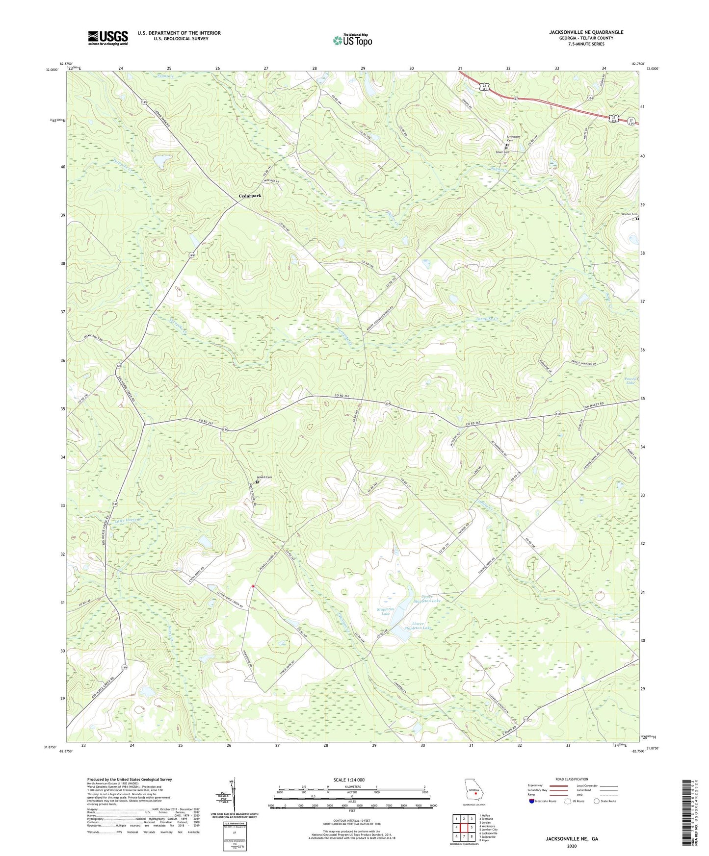
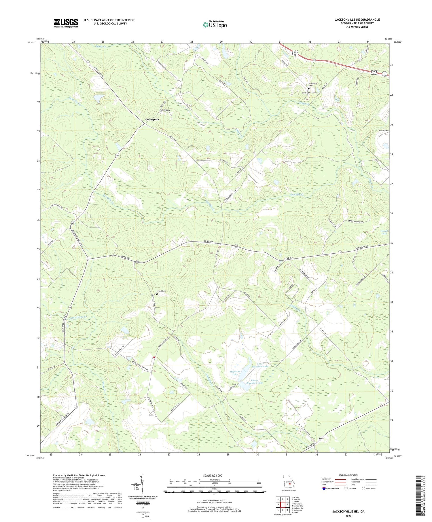
2024 topographic map quadrangle Jacksonville NE in the state of Georgia. Scale: 1:24000. Based on the newly updated USGS 7.5' US Topo map series, this map is in the following counties: Telfair. The map contains contour data, water features, and other items you are used to seeing on USGS maps, but also has updated roads and other features. This is the next generation of topographic maps. Printed on high-quality waterproof paper with UV fade-resistant inks.
Quads adjacent to this one:
West: Workmore
Northwest: McRae
North: Scotland
Northeast: Jordan
East: Lumber City
Southeast: Roper
South: Snipesville
Southwest: Jacksonville
This map covers the same area as the classic USGS quad with code o31082h7.
Contains the following named places: Cedarpark, Dodge Chapel, Fishing Creek Church, Green Grove Church, Horse Creek Volunteer Fire Department, James Chapel, Little Horse Creek, Livingston Cemetery, Lower Stapleton Lake, Lower Stapleton Lake Dam, Lumber City Division, Mimbs Church, Mount Calvary Church, Powell Cemetery, Shelton Chapel, Silver Cemetery, Stapleton Lake, Stapleton Lake Dam, Turnpike Creek, Upper Stapleton Lake, Upper Stapleton Lake Dam, Wooten Cemetery