MyTopo
Roper Georgia US Topo Map
Couldn't load pickup availability
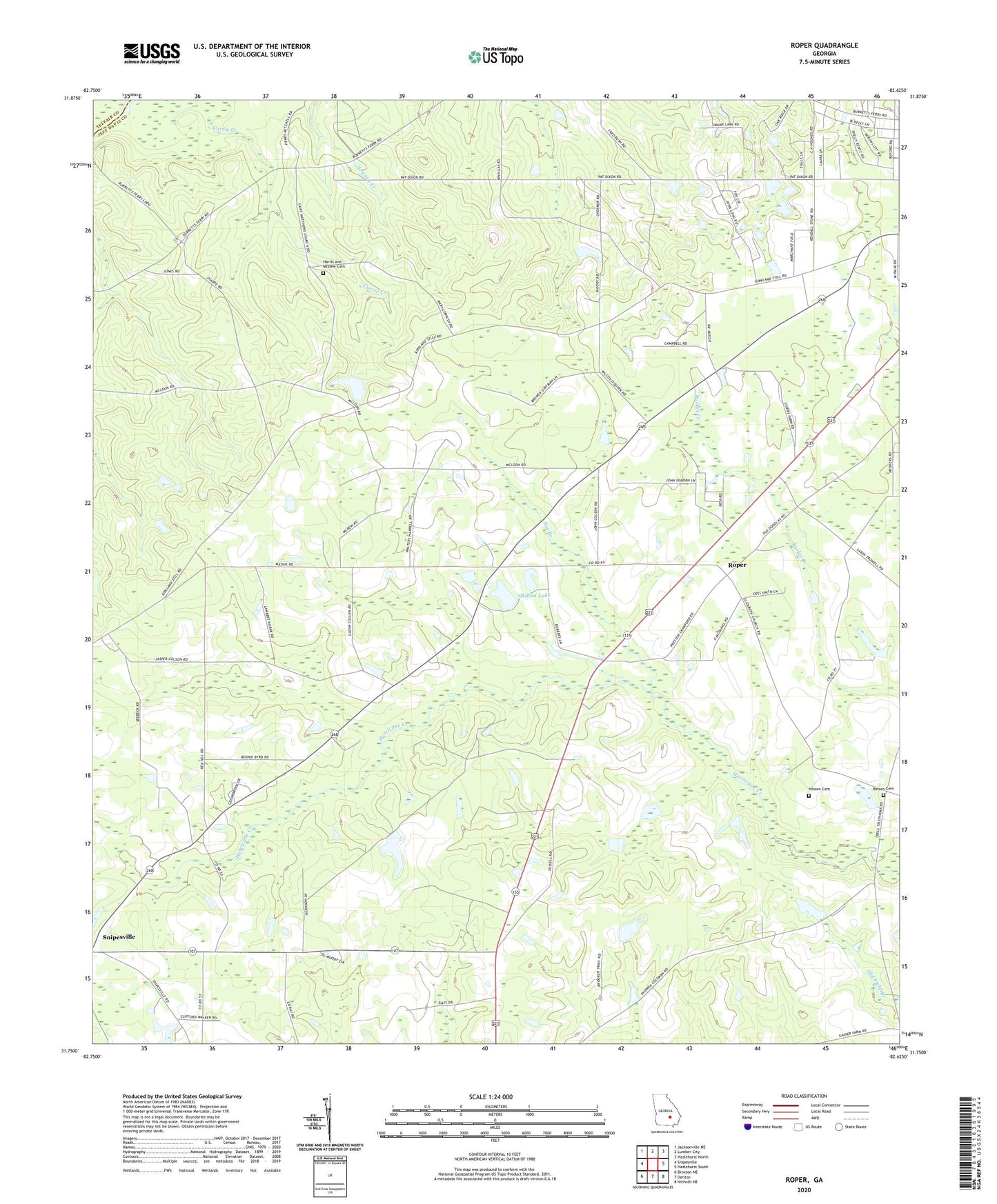
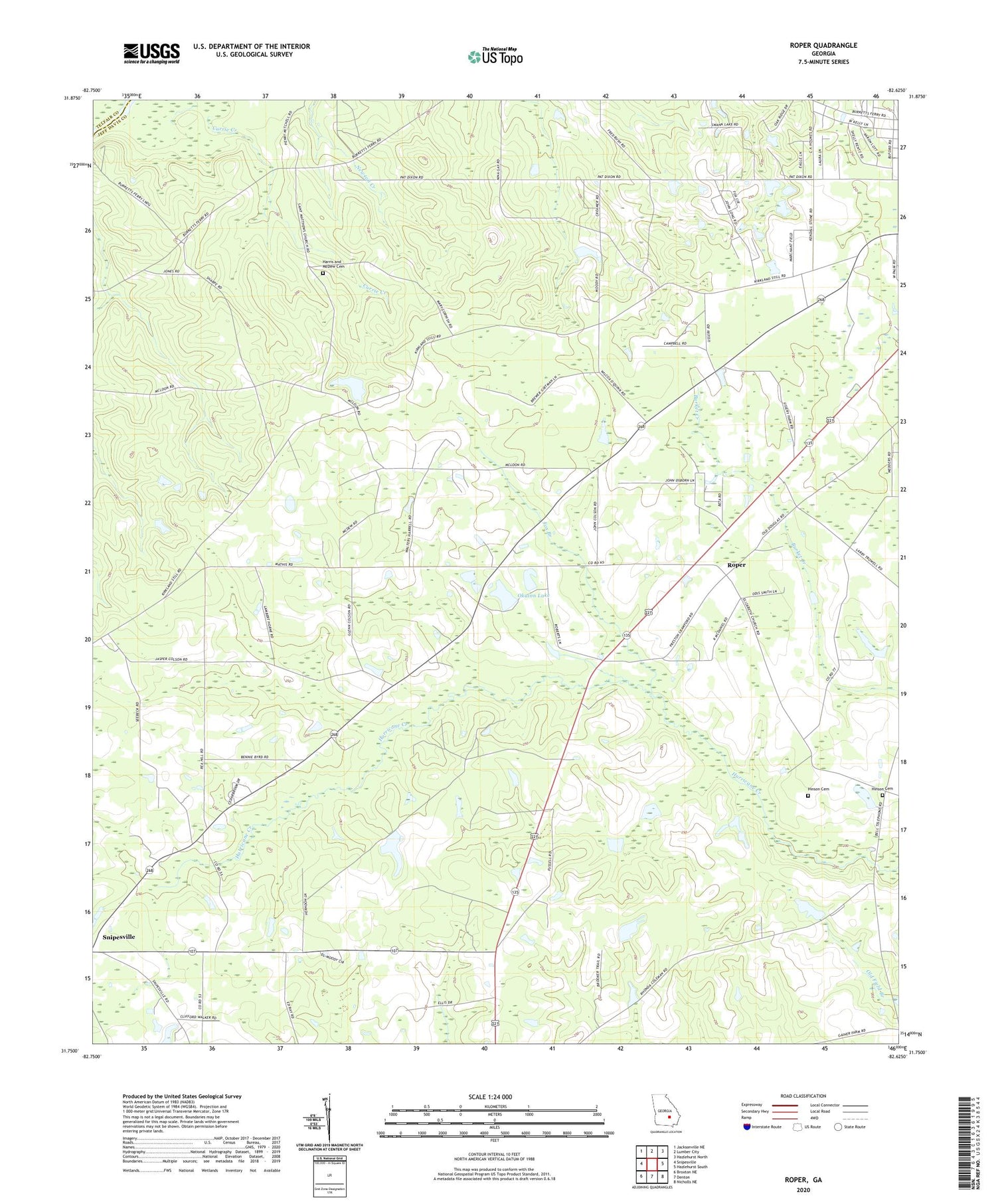
2024 topographic map quadrangle Roper in the state of Georgia. Scale: 1:24000. Based on the newly updated USGS 7.5' US Topo map series, this map is in the following counties: Jeff Davis, Telfair. The map contains contour data, water features, and other items you are used to seeing on USGS maps, but also has updated roads and other features. This is the next generation of topographic maps. Printed on high-quality waterproof paper with UV fade-resistant inks.
Quads adjacent to this one:
West: Snipesville
Northwest: Jacksonville NE
North: Lumber City
Northeast: Hazlehurst North
East: Hazlehurst South
Southeast: Nicholls NE
South: Denton
Southwest: Broxton NE
This map covers the same area as the classic USGS quad with code o31082g6.
Contains the following named places: Denton Division, Elbethel Church, Elizabeth Church, Fox Branch, Goldsmith, Harris and McDew Cemetery, Hearns Chapel, Hinson Cemetery, Jeff Davis County, Kingdom Hall Church, Kirkland Grove Church, Oak Grove Baptist Church, Okuinn Lake, Okuinn Lake Dam, Roper, Saint Matthews Church, Sears Lake Dam