MyTopo
Lake Sinclair East Georgia US Topo Map
Couldn't load pickup availability
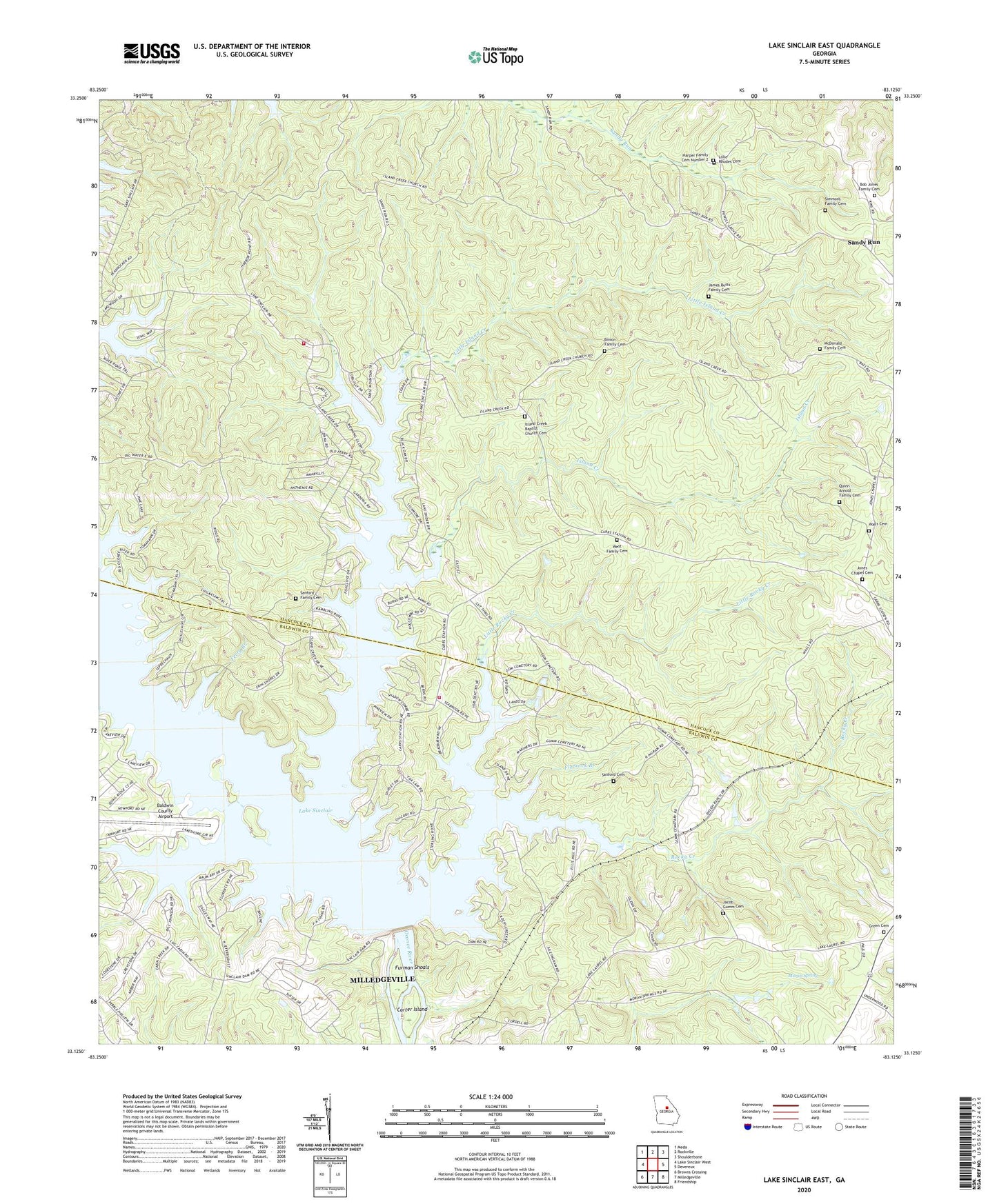
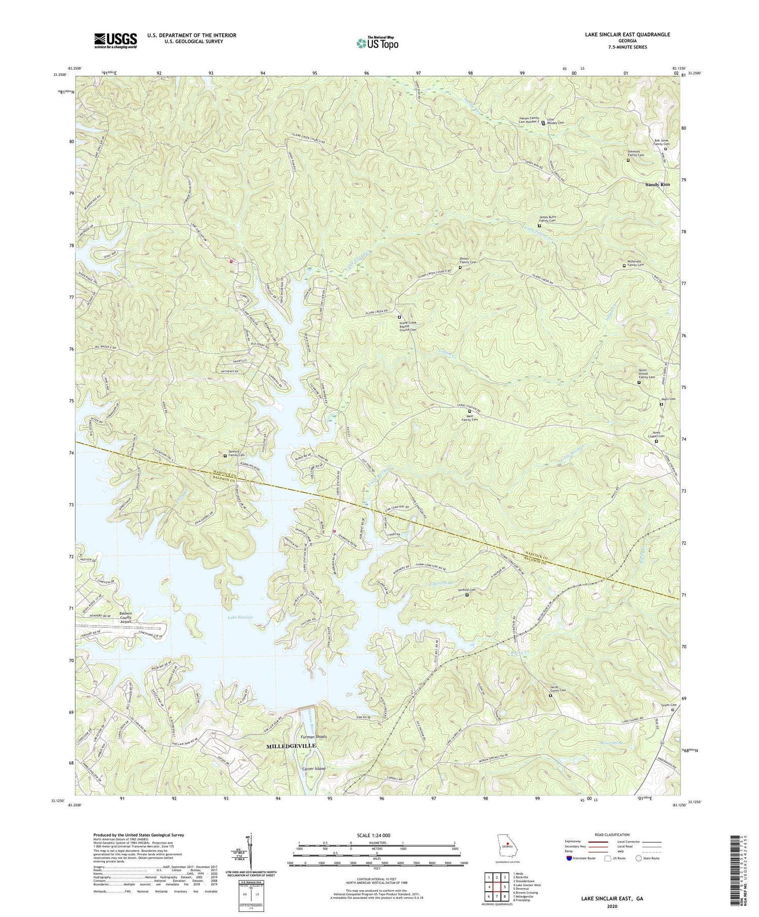
2024 topographic map quadrangle Lake Sinclair East in the state of Georgia. Scale: 1:24000. Based on the newly updated USGS 7.5' US Topo map series, this map is in the following counties: Hancock, Baldwin. The map contains contour data, water features, and other items you are used to seeing on USGS maps, but also has updated roads and other features. This is the next generation of topographic maps. Printed on high-quality waterproof paper with UV fade-resistant inks.
Quads adjacent to this one:
West: Lake Sinclair West
Northwest: Meda
North: Rockville
Northeast: Shoulderbone
East: Devereux
Southeast: Friendship
South: Milledgeville
Southwest: Browns Crossing
This map covers the same area as the classic USGS quad with code o33083b2.
Contains the following named places: Baldwin County Airport, Baldwin County Fire and Rescue Department Station 3, Bass School, Binion Family Cemetery, Bob Jones Family Cemetery, Buckhead, Carter Island, Collins Island, Devereux Division, East Lake Sinclair Fire Department Station 2, Ferry Branch, Flatrock Branch, Fraley Ferry, Fraley Shoals, Furman Shoals, Green Cemetery, Harper Family Cemetery Number 2, Island Creek, Island Creek Baptist Church Cemetery, Island Creek Church, Jackson School, Jacob Gumm Cemetery, James Butts Family Cemetery, Jones Chapel, Jones Chapel Cemetery, Lake Sinclair, Lillie Rhodes Cemetery, Little Island Creek, Little Rocky Creek, McDonald Family Cemetery, Milledgeville Country Club, Moran Spring, Mount Moriah Church, Nancy Branch, Powell Grove Church, Quinn - Arnold Family Cemetery, Reedy Branch, Rocky Creek, Sandtown, Sandy Run, Sanford Cemetery, Sanford Family Cemetery, Simmons Family Cemetery, Trinity United Methodist Camp, Vaughn Chapel, Walls Cemetery, West Family Cemetery


