MyTopo
Meigs Georgia US Topo Map
Couldn't load pickup availability
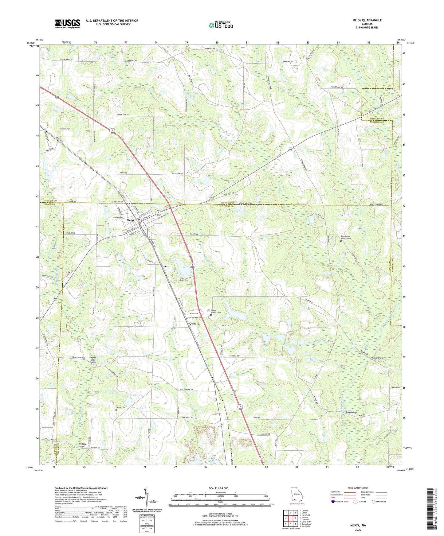
2024 topographic map quadrangle Meigs in the state of Georgia. Scale: 1:24000. Based on the newly updated USGS 7.5' US Topo map series, this map is in the following counties: Thomas, Mitchell, Grady, Colquitt. The map contains contour data, water features, and other items you are used to seeing on USGS maps, but also has updated roads and other features. This is the next generation of topographic maps. Printed on high-quality waterproof paper with UV fade-resistant inks.
Quads adjacent to this one:
West: Pelham
Northwest: Camilla
North: Cotton
Northeast: Hartsfield
East: Chastain
Southeast: Merrillville
South: Ochlocknee
Southwest: Cairo North
This map covers the same area as the classic USGS quad with code o31084a1.
Contains the following named places: Big Creek, Brumbly Bridge, Center Hill School, City of Meigs, Hansell, Harmony Church, Harmony Church Cemetery, Little Creek, Meigs, Meigs Baptist Church, Meigs Division, Meigs Methodist Church, Meigs Police Department, Meigs Post Office, Meigs Volunteer Fire Department Station 9, Midway Church, Midway Church Cemetery, Oaky Woods Creek, Palmer Bridge, Pilcher Cemetery, Pilcher Creek, Pine Hill School, Providence Church, Providence Church Cemetery, Quality, Ravenwood School, Roup Bridge, Saint Beulah Primitive Baptist Church, Segler Mill Bridge, Sevell Lake, Sevell Lake Dam, Singletary Lake, Singletary Lake Dam, Singletary Pond, Singletary Pond Dam, Sunset Cemetery, White Cemetery, ZIP Code: 31765