MyTopo
Hartsfield Georgia US Topo Map
Couldn't load pickup availability
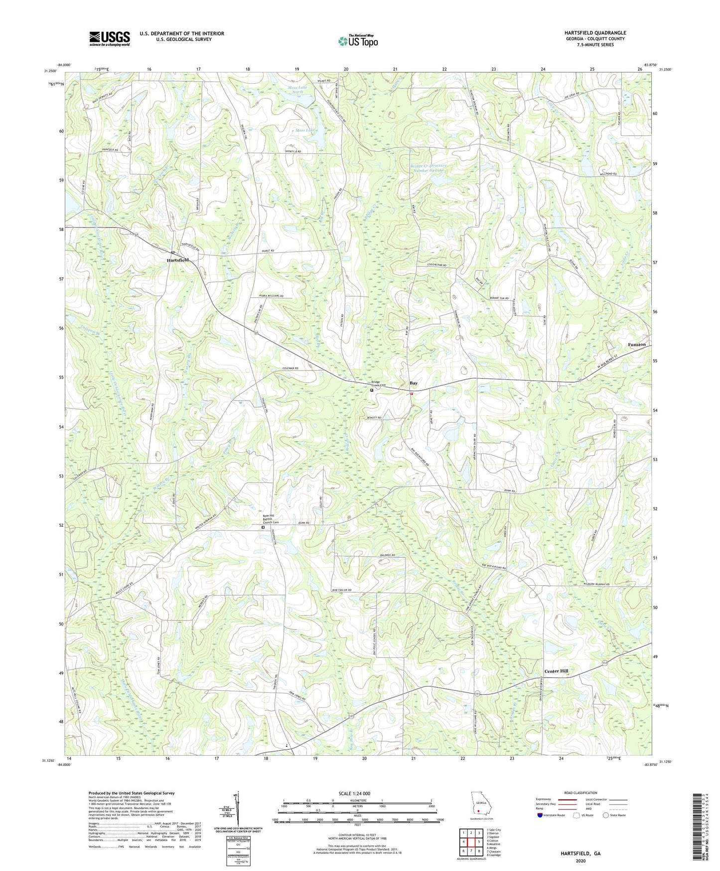
2024 topographic map quadrangle Hartsfield in the state of Georgia. Scale: 1:24000. Based on the newly updated USGS 7.5' US Topo map series, this map is in the following counties: Colquitt. The map contains contour data, water features, and other items you are used to seeing on USGS maps, but also has updated roads and other features. This is the next generation of topographic maps. Printed on high-quality waterproof paper with UV fade-resistant inks.
Quads adjacent to this one:
West: Cotton
Northwest: Sale City
North: Doerun
Northeast: Sigsbee
East: Moultrie
Southeast: Coolidge
South: Chastain
Southwest: Meigs
This map covers the same area as the classic USGS quad with code o31083b8.
Contains the following named places: Bay, Bay Church, Bethany Church, Big Branch, Bridge Creek Cemetery, Bridge Creek Primitive Baptist Church, Bridge Creek School, Bridge Creek Structure Number 83 Dam, Bridge Creek Structure Number 83 Lake, Brushy Branch, Center Hill, City of Funston, Collier School, Colquitt County Volunteer Firefighters Association Fire Station 41 Bay, Emory Carlton Airport, Funston Division, Hamilton School, Hartsfield, Hartsfield Cemetery, Hartsfield Post Office, Marchant Family Cemetery, McNeil School, Mill Creek, Moss Lake, Moss Lake Dam, Moss Lake Dam North, Moss Lake North, Oak Grove Baptist Church Cemetery, Oak Grove Church, Pineview Baptist Church Cemetery, Piney Branch, Rose Hill Baptist Church Cemetery, Rose Hill Church, Sinners Friend Church, Slocumb Branch, Thigpen Branch, Watery Branch, Zion Hill Church, ZIP Code: 31756