MyTopo
Mitchell Georgia US Topo Map
Couldn't load pickup availability
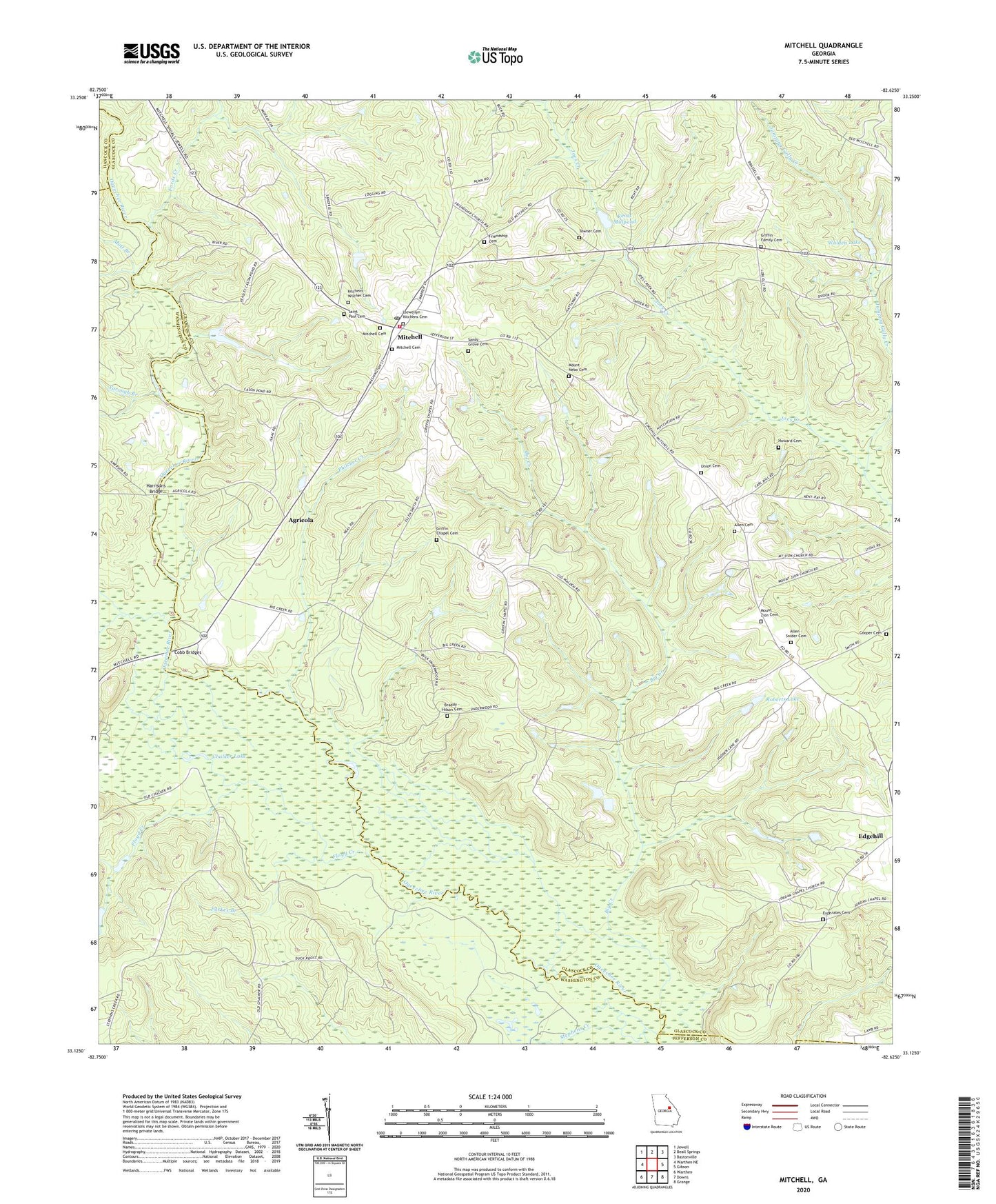
2024 topographic map quadrangle Mitchell in the state of Georgia. Scale: 1:24000. Based on the newly updated USGS 7.5' US Topo map series, this map is in the following counties: Glascock, Washington, Hancock, Jefferson. The map contains contour data, water features, and other items you are used to seeing on USGS maps, but also has updated roads and other features. This is the next generation of topographic maps. Printed on high-quality waterproof paper with UV fade-resistant inks.
Quads adjacent to this one:
West: Warthen NE
Northwest: Jewell
North: Beall Springs
Northeast: Bastonville
East: Gibson
Southeast: Grange
South: Downs
Southwest: Warthen
This map covers the same area as the classic USGS quad with code o33082b6.
Contains the following named places: Agricola, Allen - Snider Cemetery, Allen Cemetery, Big Creek, Braddy - Hilson Cemetery, Chalker, Chalker Lake, Cobb Bridges, Cooper Cemetery, Cowpen Creek, Euphrates Cemetery, Euphrates Church, Floyd Creek, Fords Creek, Friendship Cemetery, Friendship Church, Full Gospel Holiness Church, Griffin Chapel, Griffin Chapel Cemetery, Griffin Family Cemetery, Harris Branch, Harrisons Bridge, Howard Cemetery, Jumping Gully Creek, Kents Millpond, Kents Millpond Dam, Kitchens - Wilcher Cemetery, Little Ogeechee River, Llewellyn - Kitchens Cemetery, Mitchell, Mitchell Baptist Church, Mitchell Cemetery, Mitchell Division, Mitchell Methodist Church, Mitchell Post Office, Mitchell Volunteer Fire Department, Mott Branch, Mount Nebo Cemetery, Mount Nebo Church, Mount Zion Cemetery, Mount Zion Church, Parker Branch, Philcher Creek, Roberts Dam, Roberts Lake, Saint Paul African Methodist Episcopal Church, Saint Paul Cemetery, Sandy Grove Baptist Church, Sandy Grove Cemetery, Stephens Creek, Town of Mitchell, Towner Cemetery, Union Cemetery, Walden Lake, Walden Lake Dam, Yarough Branch, ZIP Code: 30820